

2 weeks ago
Bay of Bengal low-pressure system intensifies Odisha flood threat

The India Meteorological Department is the group of weather scientists in India.
They have found a new storm forming in the Bay of Bengal, near the country's east coast.
This storm is called a low-pressure area, a big patch of air that can bring strong wind and heavy rain.
It formed near the coasts of West Bengal and Odisha, and it is expected to get stronger within the next day.
Because of this, the weather scientists sent out a red warning, which is their strongest alert.
They say some parts of Odisha could get more than 20 centimetres of rain in just one day.
Very heavy rain is expected on Monday in places like Mayurbhanj in Odisha and Jhargram and Paschim Medinipur in West Bengal.
This new storm comes soon after another one that formed on August 12 and turned into a bigger storm called a depression.
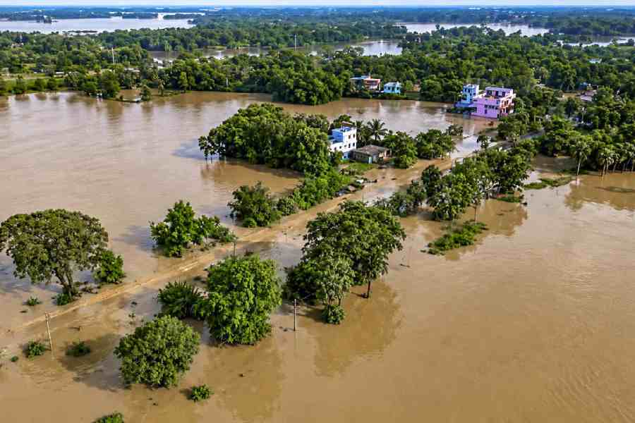
That earlier storm caused big floods in northern Odisha, and rivers like the Baitarani and Brahmani rose very high.
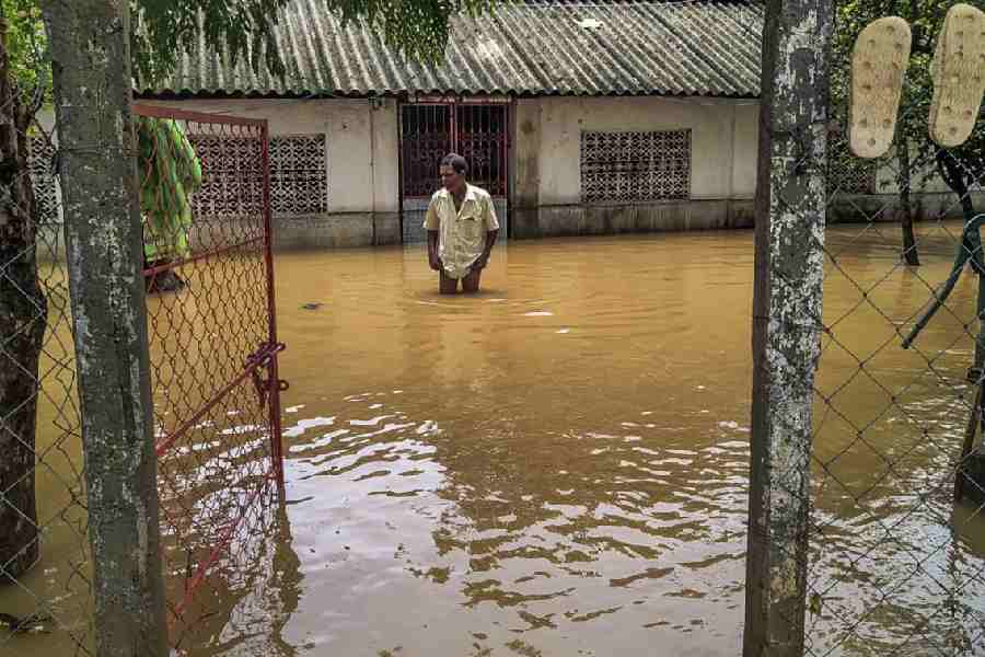
About one lakh people, which means 100,000 people, have moved to relief centres to be safe from the floodwater.

The India Meteorological Department issued a red warning for extremely heavy rainfall in parts of Odisha, where some areas could receive over 20 cm of rain within 24 hours.
A fresh low-pressure area formed over the northwest and adjoining West Bengal-North Odisha coasts and is likely to move northwestwards and become more marked within the next 24 hours.
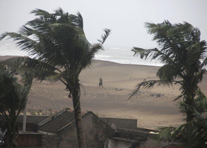
Squally weather with winds of 40-50 kmph, gusting to 60 kmph, is expected over the Bay of Bengal and along the West Bengal, Bangladesh, Odisha and North Andhra Pradesh coasts from August 16 to 18.
Isolated heavy to very heavy rainfall is forecast over Gangetic West Bengal, north Odisha and Jharkhand over the next four days, with extremely heavy rain on August 17.
Six districts in Odisha face a flood situation, with around one lakh people evacuated and about 2.70 lakh people affected across 503 villages in 52 blocks.
- Who
- India Meteorological Department (IMD) forecasters and around one lakh evacuated residents in six flood-hit districts of Odisha.
- What
- A fresh low-pressure area formed in the Bay of Bengal, prompting a red warning for extremely heavy rainfall while six Odisha districts remain flooded.
- Where
- Bay of Bengal; the coasts of West Bengal, Bangladesh, Odisha and North Andhra Pradesh; Gangetic West Bengal, north Odisha and Jharkhand.
- When
- Reported on Sunday, August 16, 2026; squally weather expected from August 16-18 and extremely heavy rain forecast for Monday, August 17.
- Why
- The new weather system is expected to bring heavy rain and strong winds, adding to flooding in northern Odisha triggered by rising river levels.
Key facts
- Weather agency
- India Meteorological Department (IMD)
- Weather system
- Fresh low-pressure area (LoPA) over northwest and adjoining West Bengal-North Odisha coasts
- Forecast winds
- 40-50 kmph, gusting to 60 kmph (August 16-18)
- Extremely heavy rain
- August 17, including Mayurbhanj (Odisha) and Jhargram and Paschim Medinipur (West Bengal)
- People affected by floods
- Around 2.70 lakh across 503 villages in 52 blocks
- Evacuations
- Around one lakh people moved to relief centres
- Flood-hit districts
- Balasore, Bhadrak, Jajpur, Mayurbhanj and Keonjhar among six affected districts
- Rivers driving floods
- Baitarani, Brahmani, Salandi, Jalaka and Budhabalanga; Subarnarekha receded below danger level
Quotes
Indian Meteorological Department (IMD) weather office
Official weather agency responsible for forecasting weather in India
“"a low-pressure area (LoPA) has formed over northwest and adjoining West Bengal-North Odisha coasts. It is very likely to move nearly northwestwards and become more marked during the next 24 hours."”
 m.rediff.com
 businesstoday.in
“"The IMD on Sunday issued the red warning as some parts of Odisha are likely to receive over 20 cm of rain within 24 hours."”
m.rediff.com
Sources
Related news

Fresh Bay Low-Pressure System Brings Heavy Rain To Odisha

Flood-Hit Odisha Braces for Rain as Bay Low Forms

Heavy Rain Likely in Odisha Till August 16, IMD Warns

IMD forecasts heavy rainfall in Odisha as low pressure forms

Fresh Bay of Bengal System Brings Rain Threat to Odisha
Bay of Bengal Depression Sparks Odisha Flood Fears, Red Alert
Odisha Floods Worsen as Subarnarekha Surges Past Danger Mark

Odisha, Jharkhand Rains Bring Floods and School Closures

Odisha Floods Affect Over 13.44 Lakh Across Seven Districts

Odisha Floods Grim as Major Rivers Cross Danger Levels

Odisha floods worsen as rivers rise; more rain forecast
