1 hr ago
India Backs UN Equal-Area Map, Defends Territorial Boundaries
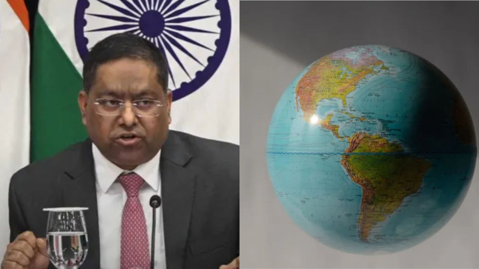
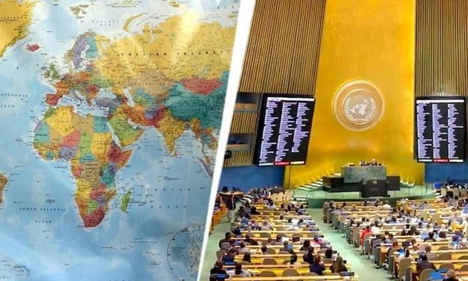
The United Nations approved a plan encouraging maps that show the sizes of continents more fairly.
India voted in favor of this plan.
India said that supporting the plan does not mean supporting one specific map design.
It also said its national borders must be shown using India’s official map.
This includes the Union Territories of Jammu and Kashmir and Ladakh.
India said incorrect or misleading drawings of these territories are unacceptable.
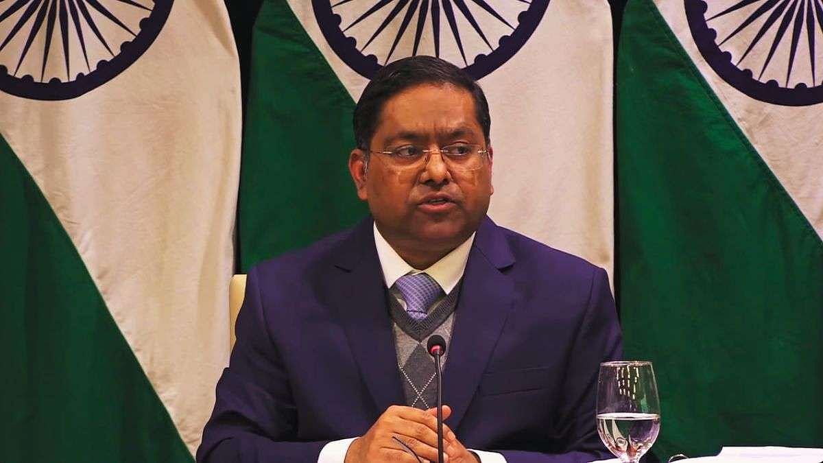
Randhir Jaiswal, a spokesperson, said India’s sovereignty cannot be negotiated.
The resolution was adopted on September 4.

India voted for a United Nations resolution promoting equal-area world map projections.
The resolution was adopted by the United Nations General Assembly on September 4.
India said Jammu and Kashmir and Ladakh must follow its official map.
Ministry of External Affairs spokesperson Randhir Jaiswal called inaccurate or misleading depictions unacceptable.
India said its position on sovereignty and territorial integrity remains clear and non-negotiable.
- Who
- India, represented by Ministry of External Affairs spokesperson Randhir Jaiswal, and the United Nations General Assembly.
- What
- India supported a resolution promoting equal-area world maps while insisting that Jammu and Kashmir and Ladakh be depicted according to India’s official map.
- Where
- The issue concerns maps of the world and the depiction of India’s Union Territories of Jammu and Kashmir and Ladakh.
- When
- The resolution was adopted on September 4; India’s clarification was issued afterward, with one report placing it on Sunday.
- Why
- The resolution seeks more equitable representation of continents and regions, while India wants its sovereignty and territorial boundaries represented accurately.
Equal-Area Map Advocates
India’s Territorial Position
Purpose of the map resolution
Equal-Area Map Advocates
The United Nations resolution promotes maps that represent the relative sizes of continents and regions more accurately and equitably.
India’s Territorial Position
India supports the principle of equal-area representation but says its vote should not be interpreted as endorsing a particular map projection or boundary depiction.
Depiction of Jammu and Kashmir and Ladakh
Equal-Area Map Advocates
Maps developed under the resolution should pursue more accurate global cartographic representation.
India’s Territorial Position
India insists that Jammu and Kashmir and Ladakh must be shown according to its official map, with any inaccurate or misleading depiction rejected.
Key facts
- Resolution title
- Correct the Map: Rebalancing Global Cartographic Representation and Promoting Equitable Representation of the World’s Regions, Particularly Africa
- Vote
- India voted in favour.
- Adoption date
- September 4
- Map approach
- The resolution encourages equal-area map projections.
- Territories cited
- The Union Territories of Jammu and Kashmir and Ladakh
- India’s position
- Inaccurate or misleading depictions are unacceptable.
- Official spokesperson
- Randhir Jaiswal of the Ministry of External Affairs
Quotes

Randhir Jaiswal
Spokesperson for India’s Ministry of External Affairs
“Any inaccurate or misleading depiction is unacceptable”
 freepressjournal.in
Sources
Related news
India Demands UN Map Show J&K, Ladakh Officially
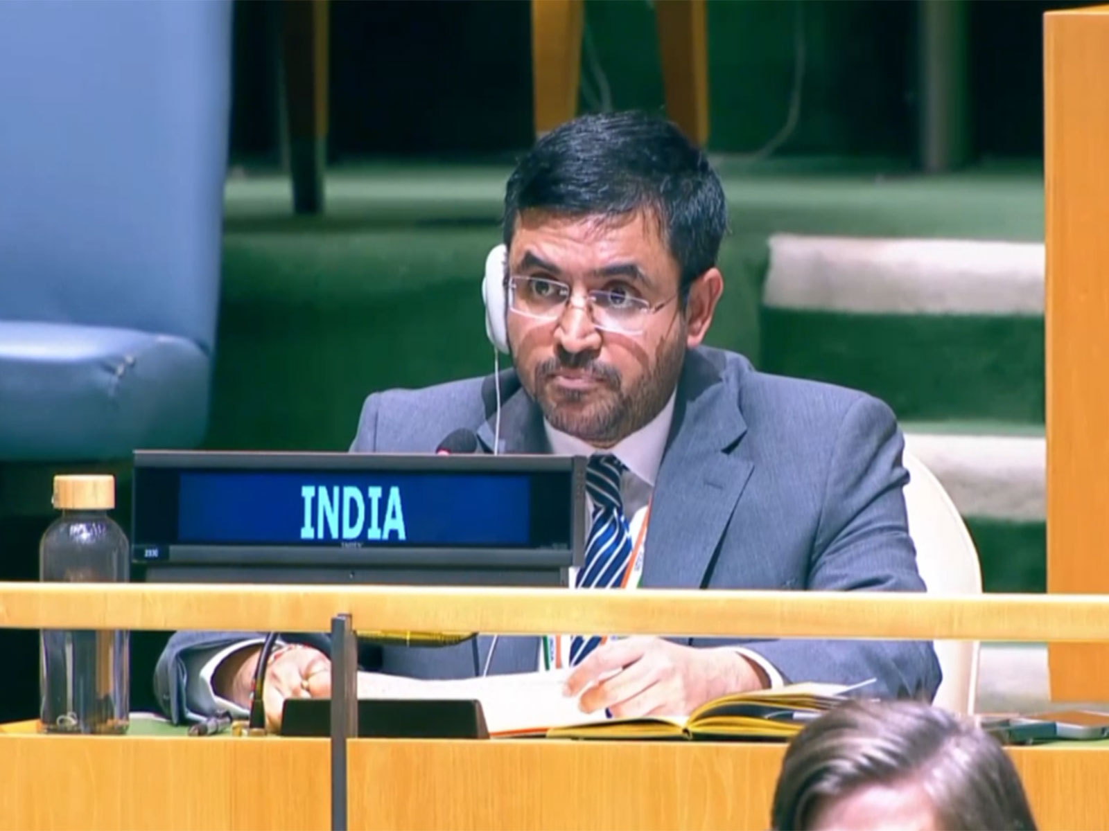
UN backs fairer maps as India urges cartographic neutrality
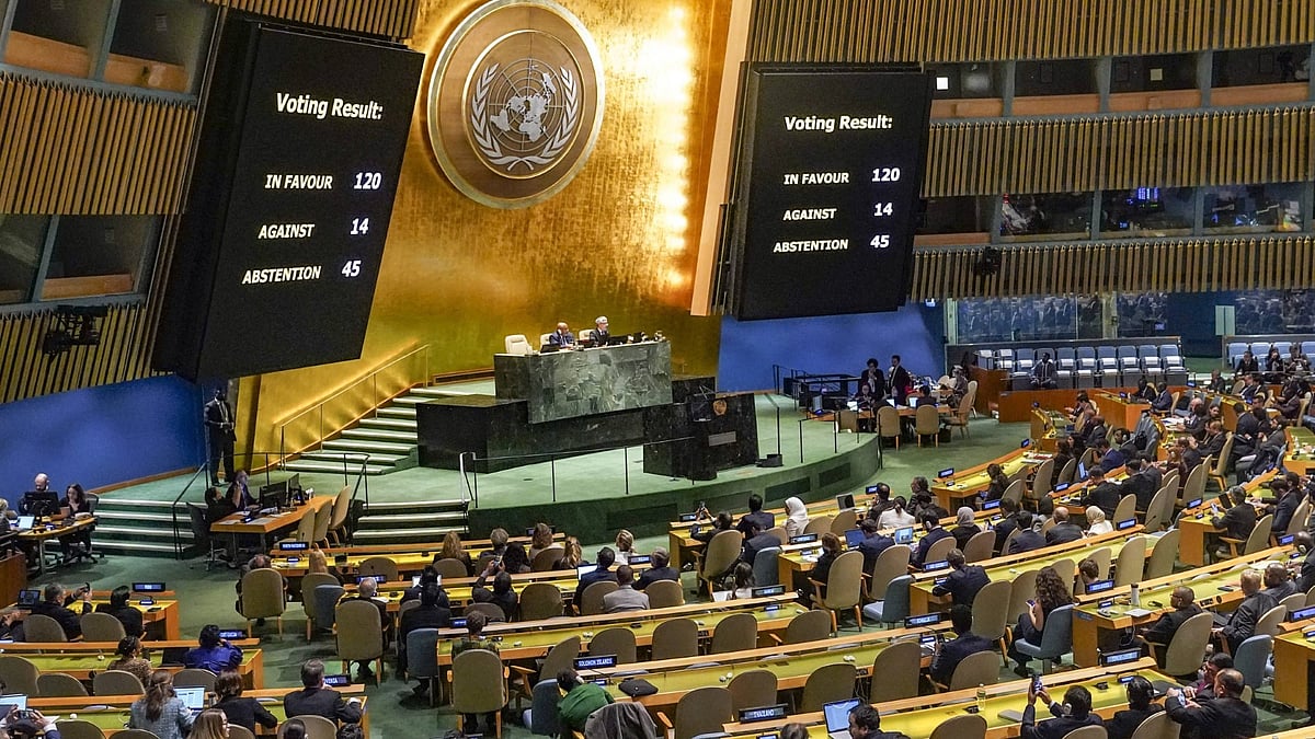
India Backs UN Resolution Promoting More Accurate World Map
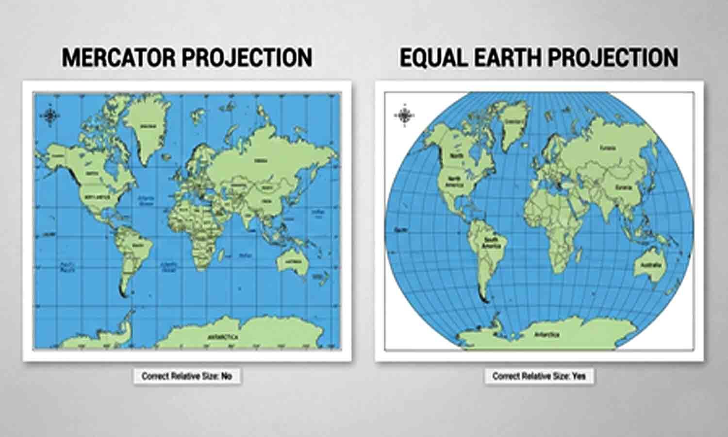
UN Assembly Backs Equal Earth Map for Global South
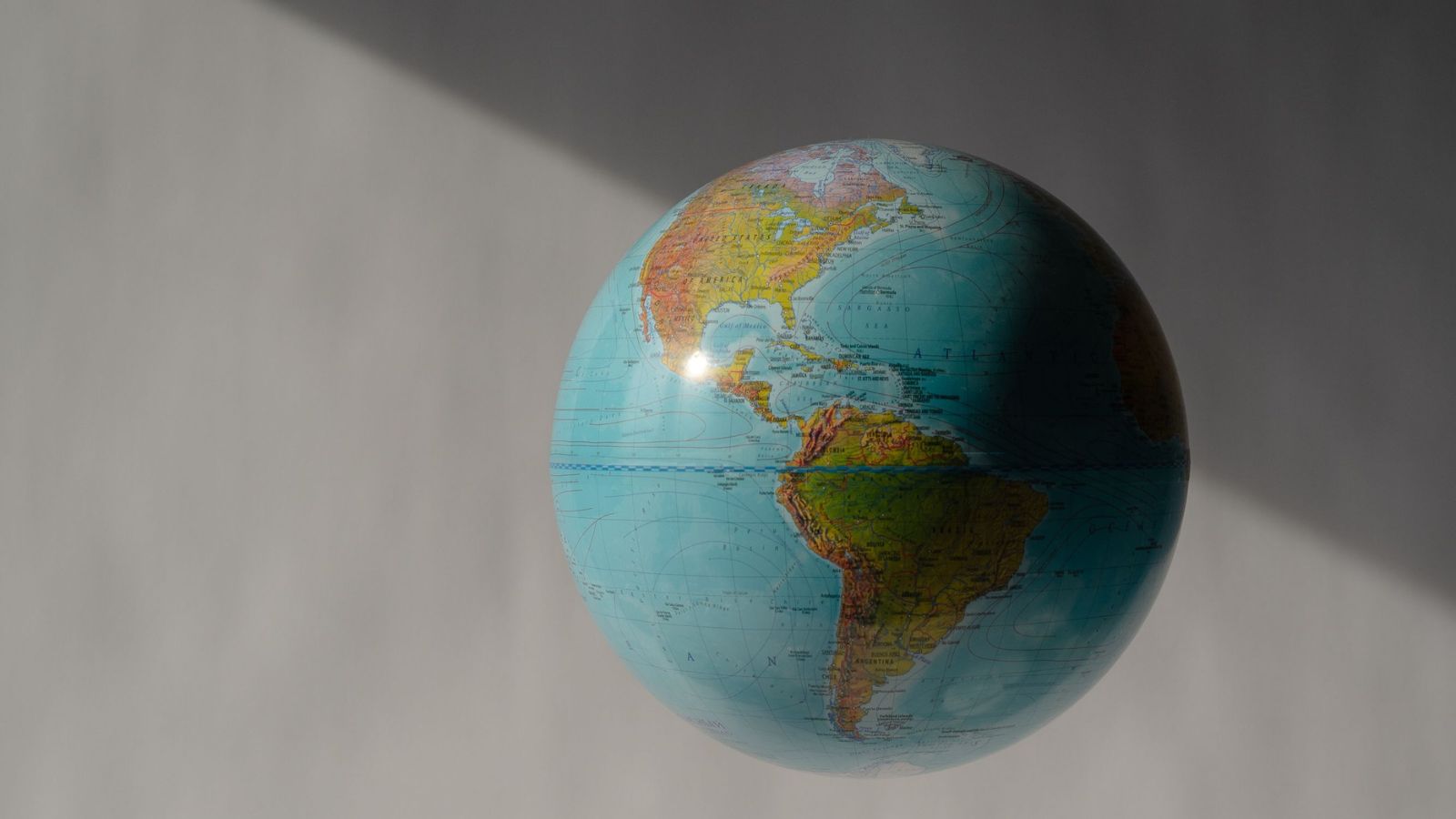
UN Backs Equal Earth Map to Show Africa’s True Scale
UN backs Equal Earth map, making Africa larger
Rotary Club Announces Funding for Healthcare and School Projects
Search Operation Underway After Woman Enters Chenab River in Doda
Jammu Signboards Bring Dogri’s Fading Script Back Into View