

1 hr ago
Why El Niño Brings Drought to Some Regions
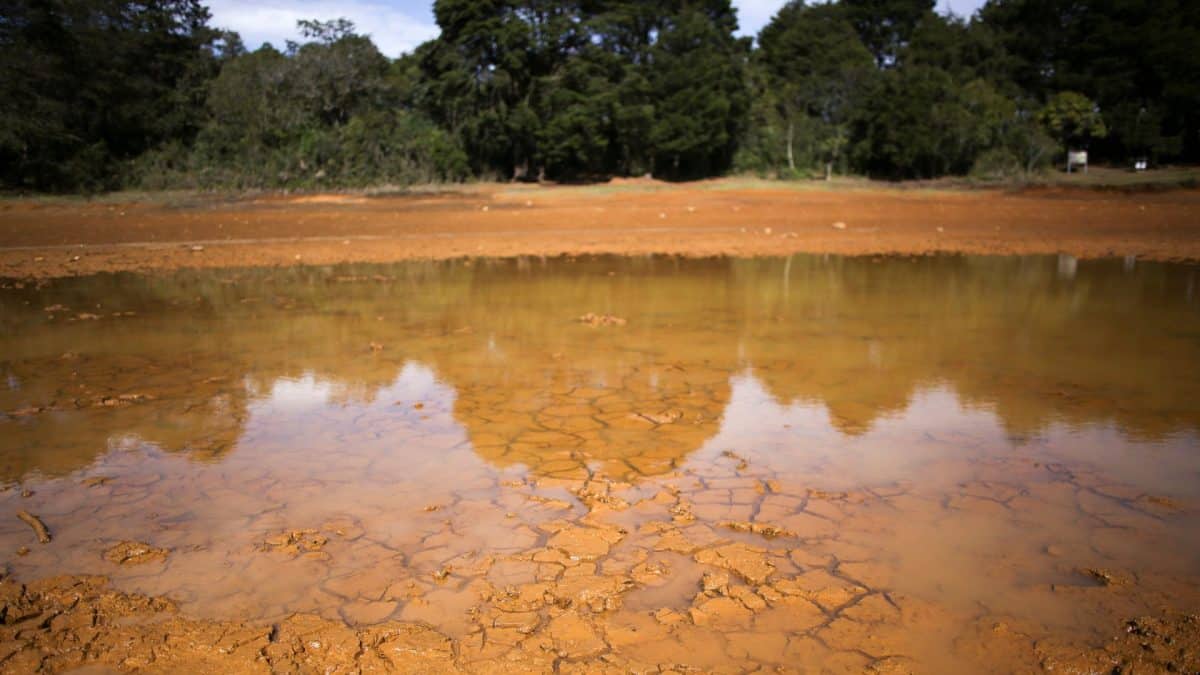
El Niño happens when the winds over the tropical Pacific become weaker than usual.
Warm ocean water then spreads farther east.
Air above the warm water rises and forms clouds and rain, so some places near the eastern Pacific can get wetter.
Meanwhile, air sinks over parts of the western Pacific, making clouds and rain less likely.
That can leave places such as Indonesia much drier.
Changes in the atmosphere can also affect weather far from the Pacific.
These effects can influence places such as the Sahel and Britain.
El Niño changes what kinds of weather are more likely, but it does not decide every storm or rainy day.

El Niño weakens the Pacific trade winds, allowing more warm water to remain in the central and eastern Pacific.
The main zone of rising moist air and rainfall shifts east, bringing wetter conditions to parts of the eastern Pacific, including coastal Peru.
Sinking air over Indonesia and nearby areas makes clouds and rain less likely, increasing drought and fire risks.
Atmospheric heating shifts can affect rainfall and storm patterns far beyond the Pacific, including in the Sahel and Britain.
El Niño changes the odds of certain weather patterns, but local weather systems can still cause heavy rain and flooding.
- Who
- El Niño affects weather in regions around the world.
- What
- A shift of warm Pacific water and atmospheric circulation changes rainfall patterns, increasing drought risk in some places and rain risk in others.
- Where
- The tropical Pacific and regions including Indonesia, coastal Peru, the Sahel, Britain, Thailand, and India.
- When
- The article describes this year's El Niño, which forecasters expect to strengthen before its usual peak around December.
- Why
- Weakened trade winds shift warm water and rising moist air eastward, changing atmospheric circulation and rainfall patterns.
Key facts
- Climate pattern
- El Niño is the warm phase of a natural fluctuation in Earth's climate system.
- Typical trade winds
- They usually blow from east to west across the tropical Pacific, pushing warm surface water westward.
- Ocean process
- Upwelling brings colder water to the surface in the eastern Pacific.
- Rainfall shift
- During El Niño, the main zone of rising moist air and rainfall moves toward the central and eastern Pacific.
- Western Pacific effect
- Sinking air can reduce cloud formation and rainfall around Indonesia, increasing drought and fire risks.
- Long-distance effects
- Atmospheric heating and ripples can influence weather far beyond the Pacific.
- Forecast timing
- Forecasters expect this year's El Niño to strengthen before approaching its usual peak around December.
Sources
Related news
Powerful El Niño May Become Strongest on Record

El Nino Matches Record Intensity, Bringing Weather Disruptions Worldwide
What Makes an El Niño Super and Especially Severe
Super El Niño Threatens Deaths, Crop Losses and Extreme Weather
WMO warns intensifying El Niño threatens India’s rain and wheat
Hurricane Polo Reaches Category 5 Amid Powerful El Niño

Maryam Aslany Says Debt Is Farmers’ Biggest Threat
US Revokes More Than 250,000 Visas Under Trump
Seven Luxury Train Journeys Turn Travel Into The Holiday

Goyal Highlights India’s $20 Trillion PPP Economy
