1 day ago
Hurricane Polo Reaches Category 5 Amid Powerful El Niño
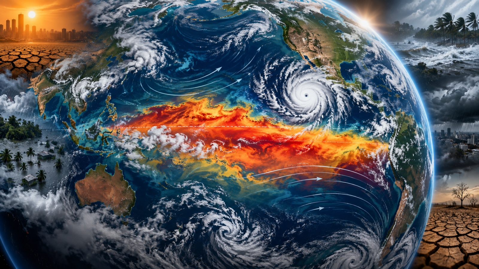
Hurricane Polo became one of the strongest storms seen in the region in recent decades.
It grew very powerful while staying offshore near Mexico.
The storm could bring heavy rain that causes floods and landslides.
Mexico closed some ports and suspended some classes to protect people.
Scientists are studying whether El Niño helped the hurricane strengthen so quickly.
El Niño means that parts of the Pacific Ocean are much warmer than usual.
This weather pattern can help storms grow in the Pacific but make Atlantic hurricanes less likely.
It can also change rainfall and temperatures in many countries.
Experts expect this El Niño to continue into February 2027 and increase the risk of dangerous heat and other extreme weather.

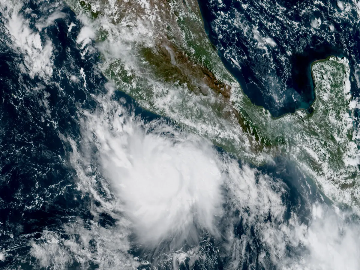
Hurricane Polo intensified to Category 5 strength off Mexico’s southwestern Pacific coast, with NHC-reported winds of 270 kmph and pressure of 905 millibars.
Polo was nearly stationary about 325 kilometers south of Zihuatanejo, threatening heavy rain, flooding, mudslides and dangerous coastal conditions.
Mexican authorities suspended classes in some coastal areas and closed ports in Guerrero and Michoacán as a precaution.
Scientists say unusually warm Pacific waters and atmospheric conditions linked to a very strong El Niño may have helped Polo intensify rapidly, though El Niño was not its sole cause.
The WMO expects El Niño to persist through February 2027, bringing heightened risks of extreme heat, drought, flooding and rainfall changes worldwide.
- Who
- Hurricane Polo, Mexican authorities, the U.S. National Hurricane Center and climate researchers.
- What
- Polo intensified into a Category 5 hurricane while a very strong El Niño raised concerns about wider weather and heat impacts.
- Where
- Polo was offshore south of Zihuatanejo, near Mexico’s Pacific coast; El Niño’s effects may extend across multiple regions worldwide.
- When
- Polo reached Category 5 strength in September 2026; El Niño is expected to persist through February 2027.
- Why
- Warm Pacific waters and related atmospheric conditions may have supported Polo’s rapid intensification, while El Niño is expected to alter global rainfall and temperature patterns.
El Niño as a Major Contributor
A Multifactor Explanation
Why Polo intensified rapidly
El Niño as a Major Contributor
Researchers cited in the reports said unusually warm Pacific waters and El Niño-related wind patterns provided favorable conditions for Polo’s rapid strengthening.
A Multifactor Explanation
The reports caution that tropical cyclones depend on several oceanic and atmospheric conditions, so El Niño should not be treated as the sole cause of Polo’s intensity.
Expected effects of El Niño
El Niño as a Major Contributor
A very strong El Niño could substantially increase risks of extreme heat, drought, flooding and rainfall disruption across many regions.
A Multifactor Explanation
The WMO says El Niño’s strength alone cannot determine conditions in any individual country because other climate drivers, including the Indian and Atlantic oceans, can alter its effects.
Key facts
- Polo’s reported intensity
- The NHC reported maximum sustained winds of 270 kmph and a minimum central pressure of 905 millibars.
- Polo’s location
- The storm was nearly stationary about 325 kilometers south of Zihuatanejo, Mexico.
- Rainfall threat
- Guerrero and Michoacán could receive 4 to 8 inches of rain, with isolated totals reaching 12 inches.
- El Niño outlook
- The WMO gave an almost 100 percent likelihood that El Niño would persist through February 2027 and said it could strengthen further.
- Pacific temperatures
- The Niño 3.4 index reached roughly 2.2°C to 2.6°C above average in late July and mid-August, while some subsurface waters were more than 8°C above average.
- Atlantic hurricane season
- No Atlantic hurricane had formed by September 21, making 2026 the slowest start on record according to the reports.
- Projected heat deaths
- Climate Impact Lab researchers estimated 451,000 additional heat-related deaths globally during the current El Niño period.
Sources
Related news
Hurricane Polo Becomes Pacific’s Strongest Category 5 Storm Overnight

Hurricane Polo Becomes Category 5 Storm Off Mexico
Hurricane Polo Reaches Category 5 as El Niño Intensifies
Supersized El Niño Could Become Strongest Ever, UN Warns

Hurricane Polo Brings Dangerous Surf and Rain to Mexico