2 weeks ago
Odisha coastal erosion threatens lives, livelihoods; measures underway
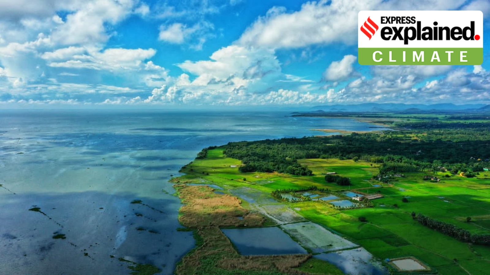
The ocean is slowly eating away the land along the coast of Odisha, a state in India.
This is called coastal erosion, and it happens when waves, storms, and rising sea levels wash away the beach and land.
A study found that about 28% of Odisha's coastline is being worn away.
Some villages have already been swallowed by the sea, and many families have lost their homes and jobs.
The government is trying to help by building special walls and barriers.
One type of barrier is a big fabric tube filled with sand that absorbs the waves.
They are also building roads that double as walls to stop the sea.
Six coastal districts are affected, with Jagatsinghpur being the worst.
The government is also building a new village to resettle people who lost their homes.
It is a big problem, but people are working to protect the coast and the communities living there.

About 28.3% of Odisha's 564-km coastline is undergoing erosion, according to a National Centre for Coastal Research (NCCR) study covering 1990-2022.
The NCCR study found 17.6% of the coastline stable and 54.1% experiencing accretion or growth.
Jagatsinghpur is the most erosion-prone district, with 47.6% of its 55.8-km coastline affected, followed by Ganjam (45.7%) and Kendrapara (45%).
Rising sea levels and coastal erosion have submerged 16 villages in Kendrapara district, displacing hundreds of people.
Measures include a geotextile tube embankment at Pentha village and dual-purpose sea wall-cum-service roads in Balasore and Ganjam districts.
Union Minister Sarbananda Sonowal disclosed the data in a Rajya Sabha reply to a query by Odisha MP Sasmit Patra.
- Who
- Union Minister Sarbananda Sonowal, Odisha MP Sasmit Patra, the National Centre for Coastal Research (NCCR), and Odisha's Forest, Environment and Climate Change Department
- What
- Coastal erosion affecting about 28.3% of Odisha's coastline, with measures being taken to protect vulnerable areas
- Where
- Odisha, India, particularly the coastal districts of Ganjam, Puri, Jagatsinghpur, Kendrapada, Bhadrak, and Balasore
- When
- Data based on a study covering 1990-2022; recent reply tabled in Rajya Sabha
- Why
- Natural forces like waves, tides, storms, human activities, and global sea-level rise are causing shoreline change and erosion, threatening lives and livelihoods
Environmental Protection Focus
Development and Infrastructure Focus
Response to coastal erosion
Environmental Protection Focus
Emphasizes protecting communities and livelihoods, with climate resettlement and nature-based solutions like geotextile tubes.
Development and Infrastructure Focus
Focuses on hard infrastructure such as sea walls and service roads to defend against erosion and support local transport.
Key facts
- Coastline length
- 564 km
- Erosion percentage
- 28.3%
- Stable coastline
- 17.6%
- Accretion/growth
- 54.1%
- Study period
- 1990-2022
- Most erosion-prone district
- Jagatsinghpur (47.6% of 55.8-km coastline)
- Villages submerged in Kendrapara
- 16
- Study body
- National Centre for Coastal Research (NCCR)
Sources
Related news

Odisha Reviews ARISE Project for Coastal Protection and Resilience

IIT Madras Backs Rs 323 Crore Uppada Coastal Protection Wall
Heavy rain wreaks riverbank erosion across four north Bengal districts

Odisha Coastal Highway to Cut Rameshwar-Paradeep Travel Time

Ganga Erosion Threatens Villages and School in Bengal’s Malda
Ganga Erosion Threatens Malda School as Residents Flee River
Two Odisha Farmers Electrocuted by Underground Live Wire
Odisha Farmer Rescued After Three Hours Clinging to Tree

Deep Depression Triggers Heavy Rain in Odisha

Odisha Schools Closed Due to Heavy Rain