

2 weeks ago
Nepal, India set three-year target to map border land occupation
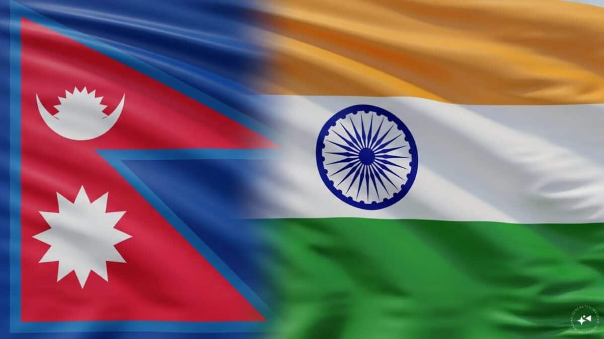
India and Nepal are two neighboring countries that share a long border.
Sometimes, the rivers along that border change where they flow.
When rivers move, land that belonged to one side can end up on the other side.
People may end up farming or living on land that technically belongs to the other country.
The two countries decided to work together to solve this problem.
They will use flying drones to take pictures of the border land from the sky.
Those pictures will help them see who is living or farming where.
They plan to finish making this map within three years.
The work will start after the rainy season ends.
This will help both countries understand the problem and fix it fairly.

India and Nepal agreed at the 13th Survey Officials' Committee meeting in Lucknow to complete mapping of cross-border land occupation within three years.
The joint survey, expected to begin around September or October after the monsoon, will use UAVs to document people cultivating or living on land across the border.
The issue stems partly from shifting river channels that moved land across the boundary in areas where the Fixed Boundary Principle was used.
Along the roughly 1,880-km border, 1,325 of 8,554 boundary pillars are missing and 1,956 are partially or completely damaged.
Earlier three-year targets set in 2015 and revised in 2017 were missed due to funding problems, the Covid-19 pandemic, disputes and weather conditions.
- Who
- India and Nepal, through their Survey Officials' Committee and Boundary Working Group, with the issue raised by Nepal Prime Minister Balendra Shah.
- What
- The two countries agreed to complete a UAV-based mapping of disputed cross-border land occupation within three years.
- Where
- Along the roughly 1,880-km India-Nepal border across 27 districts; the SOC meeting was held in Lucknow.
- When
- The decision was made at the 13th SOC meeting, with the survey expected to begin around September or October after the monsoon.
- Why
- Shifting river channels have moved land across the boundary, leaving citizens of both countries cultivating or living on land that technically falls on the other side, and the mapping is meant to create a common technical basis for addressing it.
Key facts
- Border length
- About 1,880 kilometres across 27 districts
- Survey target
- Complete mapping within three years
- Survey method
- UAVs (unmanned aerial vehicles) capturing aerial images
- Expected start
- Around September or October, after the monsoon
- Boundary pillars installed
- 8,554
- Missing pillars
- 1,325
- Damaged pillars
- 1,956
- Areas outside the timeline
- Susta and Kalapani-Limpiyadhura-Lipulekh
Sources
Related news
India, Nepal Agree Drone Mapping Amid Dasgaja Border Row

Nepal Minister Downplays India Border Dispute, Urges Regular Talks
India Weighs Land Swap With Myanmar To Settle Border
Villagers along India-Bangladesh border oppose fresh BSF survey

India-Nepal Talks Target Border Disputes and Lipulekh Trade
India, China Agree on Eight-Point Roadmap for Border Management

Putin Faces Western Isolation While Russia Builds Non-Western Ties

India’s Global Power Ambitions Face Economic and Democratic Setbacks

Modi’s Frugality Appeal Contrasts With Extensive Foreign Travel
Modi Sets Roadmap for Collaborative, Water-Secure India’s Future

Sonia Gandhi Memoir Sparks Debate Over Politics, Publishing And Speech
