11 hrs ago
Maharashtra Plans Land Titling Act With Digital Property Records
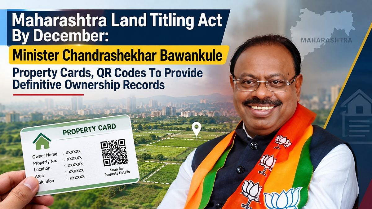
Maharashtra plans to create a new system showing who legally owns each property.
The state says the system could begin with a Land Titling Act by December 2026.
Property owners would receive cards listing information such as location, size, value and ownership.
Each card would have a QR code linking to more property details.
Flat owners would also receive records showing their share of the land under their building.
The government says slow or incorrect measurements often cause property fights.
It plans to use trained surveyors, modern equipment and drones to measure land faster.
Officials hope clearer records will greatly reduce property disputes and lawsuits.

Maharashtra plans to introduce a Land Titling Act by December 2026, Revenue Minister Chandrashekhar Bawankule said.
The proposed system would create definitive ownership records through comprehensive property cards carrying QR codes.
A planned Vertical Property Card would record individual flat owners’ land shares and property details.
The government aims to complete land measurements within 15 days using licensed surveyors, rovers and drones.
Authorities are upgrading registration systems to flag attempted sales of government-owned land automatically.
- Who
- The Maharashtra government and Revenue Minister Chandrashekhar Bawankule are leading the initiative.
- What
- The state plans to introduce a Land Titling Act, digital property cards and faster land-survey procedures.
- Where
- Maharashtra, including property registration and land surveys across its districts.
- When
- The legislation is planned by December 2026; the announcement was made on September 9, 2026.
- Why
- The measures are intended to establish definitive ownership records, reduce property disputes and litigation, and prevent illegal registration of government land.
Key facts
- Planned legislation
- Maharashtra’s Land Titling Act is expected by December 2026.
- Property cards
- Cards would include location, measurements, valuation and ownership details, plus a QR code.
- Flat ownership
- Vertical Property Cards would record each flat owner’s share of the underlying land.
- Survey timeline
- The government aims to complete land measurements within 15 days of an application.
- Survey workforce
- About 500 licensed surveyors have joined the initiative, with plans for 100 to 150 in every district.
- Technology
- Surveyors will use modern equipment including rovers, while drones will also support surveys.
- Litigation target
- The government aims to reduce land-related litigation to about 10% of its current level within three years.
- Government land protection
- Registration systems are being upgraded to automatically flag attempted registrations of government-owned properties.
Sources
Related news

Maharashtra’s DELTA Act Could Tokenise Land and Unlock Wealth

Telangana Government Plans Statewide Land Survey Within One Year

Maharashtra Land Bank Aims to Speed Infrastructure Projects

Bhu Bharati Aims to Permanently Resolve Farmers’ Land Issues
No Need to Panic, Justice Assured for Genuine Land Owners

Maharashtra’s 2026 Cooperative Rules Aim to Cut Housing Litigation

School Food Circular During Paryushan Triggers Rights Debate

Helen Accepts Salim Khan’s Raj Kapoor Lifetime Achievement Award

Helen Says Salim Khan Is Strong After Lifetime Achievement Award

Shakti Pumps Shares Jump After Maharashtra Solar Pump Order

Glass Wall Systems IPO Draws Strong Demand, GMP Signals Gains