37 mins ago
Maharashtra Land Bank Aims to Speed Infrastructure Projects

Maharashtra has created a digital system to keep track of land owned by the government.
It is called the Maharashtra Land Bank.
The system puts information from different departments in one place.
Officials can use it to find and check land more quickly.
They can also see maps and records of inspections.
Government departments can request land online through the system.
Tehsildars can update information about land use and rule violations.
The government says this will help infrastructure projects and make land administration more transparent.

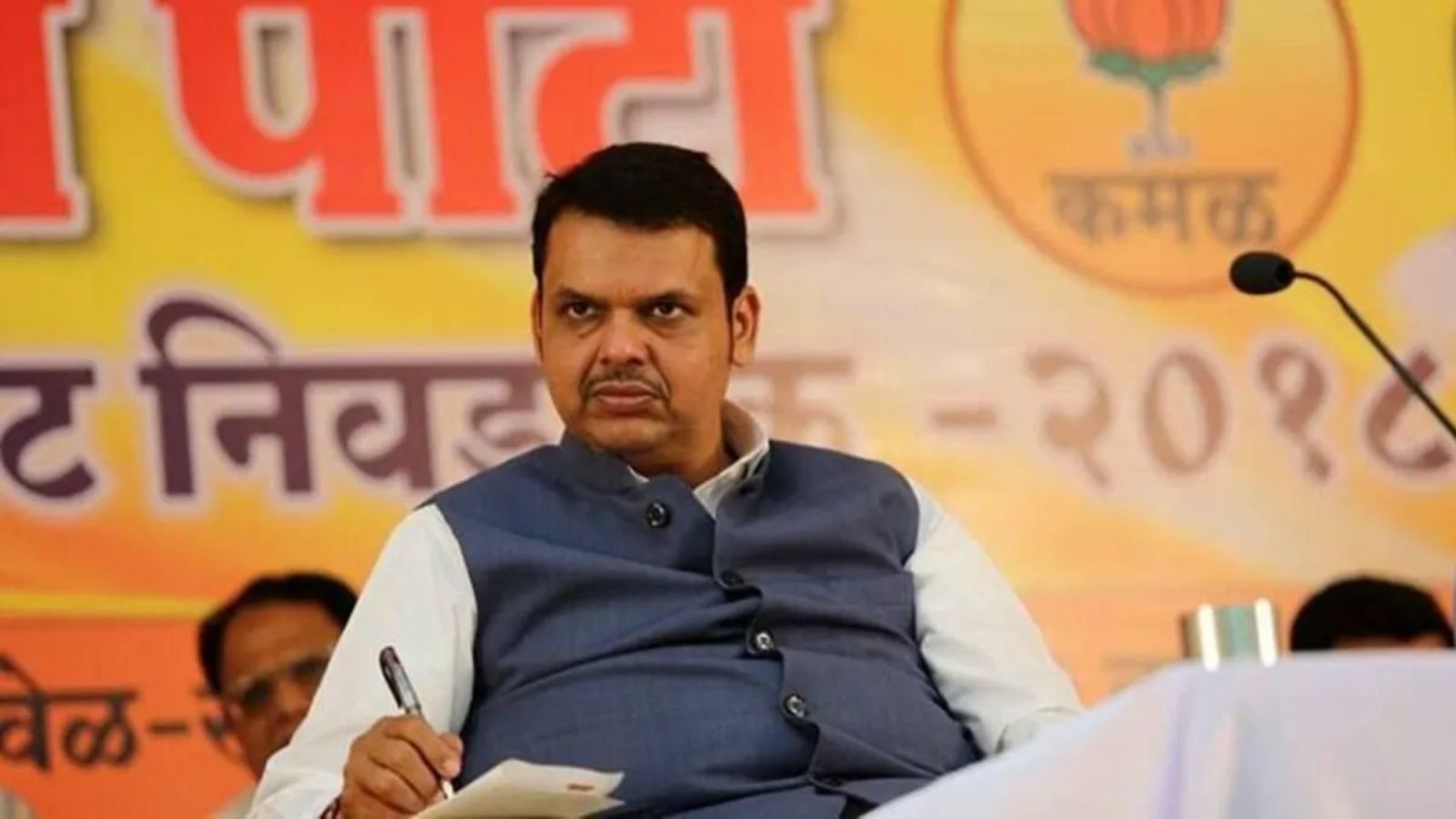
Chief Minister Devendra Fadnavis said the Maharashtra Land Bank will accelerate infrastructure development across the state.
The digital system brings land records from various state government departments onto one unified dashboard.
It is intended to streamline land searches, verification, allocation, and compensatory afforestation planning.
Features include GIS mapping, field inspections, record verification, and online land-requisition workflows.
Tehsildars will be able to update allocation statuses and record violations involving government and Occupant Class-II lands.
- Who
- The Maharashtra government, led by Chief Minister Devendra Fadnavis, launched the system.
- What
- The Maharashtra Land Bank digital system was launched as a unified dashboard for managing government land records.
- Where
- The system applies across Maharashtra, with the announcement made in Mumbai.
- When
- It was officially launched after the Cabinet meeting held on Tuesday; Fadnavis discussed it on Wednesday.
- Why
- It is intended to speed infrastructure development, improve public-land management, and ensure land availability for compensatory afforestation.
Key facts
- System
- Maharashtra Land Bank digital system
- Purpose
- Centralise, verify, map, and allocate government land
- Coverage
- Land owned by various Maharashtra government departments
- Key tools
- GIS analytics, site inspections, record verification, and digital requisitions
- Administrative access
- Department-, district-, taluka-, and village-level data and progress tracking
- Tehsildar functions
- Updating allocation statuses and recording condition violations
- Afforestation role
- Supporting the guaranteed availability of land for compensatory afforestation
Quotes

Maharashtra government statement
Official statement describing the Maharashtra Land Bank system
“The system supports optimal land utilisation, rapid department-specific land mapping, reduced decision-making delays, and enhanced administrative transparency. Furthermore, it enables comprehensive performance reviews via department-, district-, taluka-, and village-wise data aggregation and progress tracking.”
 thehansindia.com
“As an integrated digital framework for data-driven management of public land, the initiative synthesises land records, physical site inspections, GIS analysis, and MIS reporting to render state land governance efficient, transparent, and swift.”
thehansindia.com
Sources
Related news

Maharashtra CM orders faster land acquisition for industries

Haryana Cuts Infrastructure Site Assessments to One-Two Days

BJP MLA Sets Deadline for Pimpri-Chinchwad Land Cases

Shashi Tharoor Proposes AI 'Digital Nervous System' for Kerala
Maharashtra CM Signals Hinjawadi Transfer To PCMC Soon

Anna Hazare Improves, to Stay in Mumbai Hospital Two Days

BJP MLA Seeks Probe Into Alleged BMC Transfer Racket

Mumbai Ganpati Mandals Prepare Amid Debate Over DJs