3 weeks ago
Bay Low Pressure Moves Inland After Bengals Rain
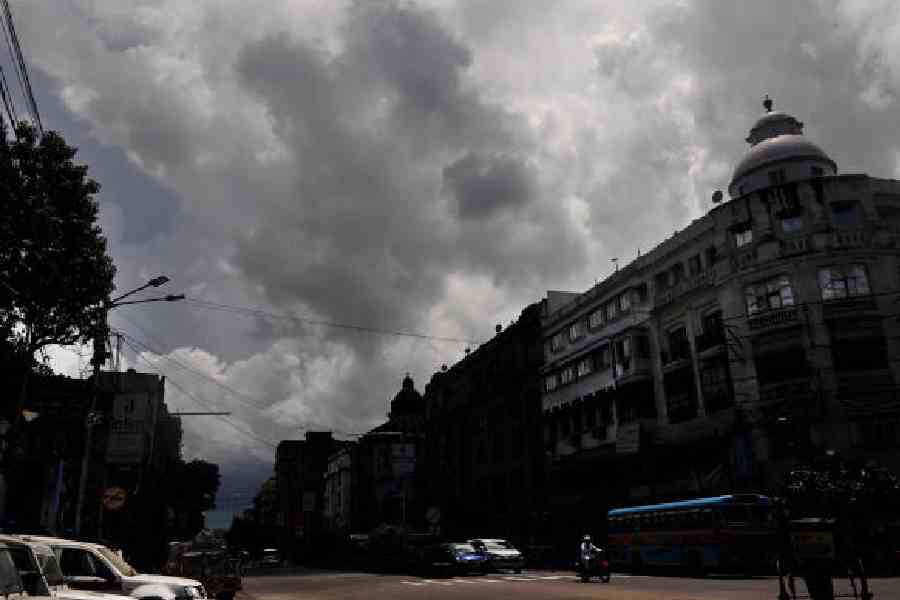
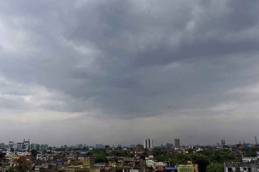
A big swirl of rainy weather called a low-pressure area formed over the Bay of Bengal, a huge sea near India.
It brought lots of rain to a part of India called Bengal.
The city of Calcutta got heavy rain at least three times in the last ten days.
Now the weather system has moved far inland, away from Bengal.
Weather scientists called the Met office say it is currently over Madhya Pradesh and adjoining Chhattisgarh.
Because the system is so far away, Bengal will get a short break from heavy rain.
Only light and scattered showers are expected for a few days.
But another weather system is expected to form around August 12.
When it arrives, heavy rain is likely to return, first in south Bengal and then in north Bengal.
So people in Bengal should enjoy the drier days before more rain comes.

A low-pressure area that formed over the Bay of Bengal has moved deep into mainland India and was over Madhya Pradesh and adjoining Chhattisgarh on Sunday morning.
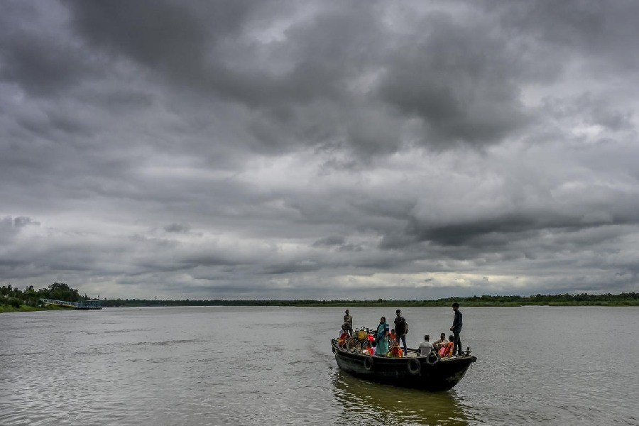
The system brought consistent rain to north and south Bengal, including Calcutta, which was lashed by at least three spells of heavy rain in the past 10 days.
The Met office predicted a brief lull in the spread and intensity of showers in Bengal, with only light and scattered rain expected in the coming days.
A fresh weather system is likely to take shape around August 12, with rain intensity expected to rise between August 12-14 in south Bengal and August 14-15 in north Bengal.
Heavy rain is expected in the coastal districts of south Bengal between August 12 and 14, while Calcutta is forecast to see moderate showers.
- Who
- The Met office at Alipore issued the forecast; residents of Bengal, including Calcutta, experienced the rain.
- What
- A Bay of Bengal low-pressure area moved deep into mainland India after bringing consistent rain to north and south Bengal, with a lull and a fresh rain system predicted next.
- Where
- Bay of Bengal, north and south Bengal, Calcutta, Madhya Pradesh and adjoining Chhattisgarh.
- When
- The system was over Madhya Pradesh and adjoining Chhattisgarh on Sunday morning; a fresh system is likely to form around August 12.
- Why
- Successive weather systems forming over the Bay of Bengal brought consistent rain to Bengal, including three heavy spells in Calcutta over 10 days.
Key facts
- Weather system
- Low-pressure area that formed over the Bay of Bengal
- System location (Sunday morning)
- Madhya Pradesh and adjoining Chhattisgarh
- Calcutta rainfall
- At least three spells of heavy rain in the past 10 days
- Current Bengal forecast
- Brief lull; only light and scattered showers expected
- Fresh system expected
- Around August 12
- Peak rain south Bengal
- August 12-14, including heavy rain in coastal districts
- Peak rain north Bengal
- August 14-15
- Calcutta outlook
- Moderate showers; light rain not ruled out over next couple of days
Quotes
An official at the Met office in Alipore
Met Office meteorologist
“"A fresh system is likely to take shape around August 12. Until then, only light and scattered showers are expected in Bengal. The intensity of the rain is expected to go up between August 12 and 14 in south Bengal and August 14 and 15 in north Bengal."”
 telegraphindia.com
“"In Calcutta, light rain is not ruled out over the next couple of days, but the conditions will not remain as consistently overcast as they had been for much of the past week."”
telegraphindia.com
Sources
Related news
Low-Pressure System Brings Heavy Rain Across Bengal Through September
Bay System Likely to Bring Heavy Rain Across Bengal
Heavy rain likely as low-pressure forms over Bay of Bengal
Low-Pressure System Brings Another Rainy Week to Bengal

IMD warns heavy rain in southern Bengal till August 18

Heavy Rain, Thunderstorms Forecast Across Bengal Over Next 48 Hours

Shami Shines as East Zone Reaches Duleep Trophy Final

Bengal Reports Over 4,000 Dengue Cases, Down 50% This Year

Bengal Rolls Out QR System To Monitor Waste Segregation
LPG e-KYC Deadline Ends as 12 Lakh Users Remain Pending

Five Taal Recipes Bring Bengal’s Monsoon Fruit to Janmashtami