3 weeks ago
Heavy rain likely as low-pressure forms over Bay of Bengal
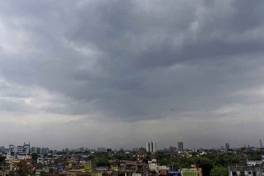
Weather scientists say a big rainy weather system is getting ready to form over a part of the ocean near eastern India called the Bay of Bengal.
It will bring lots of rain to the city of Kolkata and other places in south Bengal.
Some places might get 7 to 11 centimeters of rain, and other places could get as much as 20 centimeters.
That is a whole lot of water falling from the sky!
There may also be thunderstorms, lightning, and strong winds blowing as fast as cars drive in the city.
The rainy weather is expected to keep going for several days, including Thursday and Friday.
The ocean near the coast will also be rough and windy, with strong gusts.
Because the sea will be dangerous, fishermen have been told to stay home and not go out to catch fish.
People who live in these areas should be careful and keep an eye on the weather reports.

A low-pressure area is likely to form over the northwest Bay of Bengal and adjoining areas on Wednesday, August 12.
Heavy rain of 7 to 11cm is expected at one or two places in Kolkata, Howrah, Hooghly and Bankura.
North and South 24-Parganas and East and West Midnapore may receive heavy to very heavy rain of 7 to 20cm.
Thunderstorms, lightning and gusty winds of 30 to 40kmph are expected in Kolkata and neighbouring districts.
Squally weather with winds gusting to 55kmph is likely along the West Bengal and Odisha coasts from August 11-15, and fishermen have been advised not to venture into the sea.
- Who
- The Regional Meteorological Centre, Kolkata, issued the forecast.
- What
- A low-pressure area expected to form over the northwest Bay of Bengal is set to bring heavy rain, thunderstorms and squally winds to south Bengal.
- Where
- The northwest Bay of Bengal, Kolkata and other districts of south and north Bengal, and the West Bengal and Odisha coasts.
- When
- The low-pressure area is likely to form on Wednesday, August 12, with rain expected through the week and sea warnings in effect from August 11 to 15.
- Why
- An upper-air cyclonic circulation extending up to 7.6km above mean sea level is influencing the formation of the low-pressure system.
Key facts
- Low-pressure formation
- August 12, over northwest Bay of Bengal
- Heavy rain (Kolkata, Howrah, Hooghly, Bankura)
- 7-11 cm
- Heavy to very heavy rain (24-Parganas, Midnapore districts)
- 7-20 cm
- Winds in Kolkata area
- 30-40 kmph, with thunderstorms and lightning
- Sea warning period
- August 11-15
- Sea winds
- 35-45 kmph, gusting to 55 kmph
- Upper-air cyclonic circulation
- Extends up to 7.6 km above mean sea level
- North Bengal warning
- Heavy rain likely in Jalpaiguri and Alipurduar on Thursday; Darjeeling, Kalimpong, Cooch Behar in following days
Sources
Related news
Low-Pressure System Brings Heavy Rain Across Bengal Through September

Low-Pressure System Brings Another Rainy Week to Bengal

Heavy Rain, Thunderstorms Forecast Across Bengal Over Next 48 Hours

Bay low-pressure to deepen, heavy rain alert in South Bengal

IMD warns heavy rain in southern Bengal till August 18

Bay System Likely to Bring Heavy Rain Across Bengal

Heavy Rain Raises Landslide Danger Across Darjeeling and Kalimpong

Eight Workers Injured as Darjeeling Railway Locoshed Collapses in Rain

Cafu to Launch Futsal Teams and Sports Resort in Darjeeling

Celina Jaitly Calls Film Return a Reclamation of Life

West Bengal Begins Fines for Spitting, Littering and Plastic Violations