1 hr ago
NASA Satellite Captures 76-Square-Kilometre Iceberg Leaving Greenland Glacier
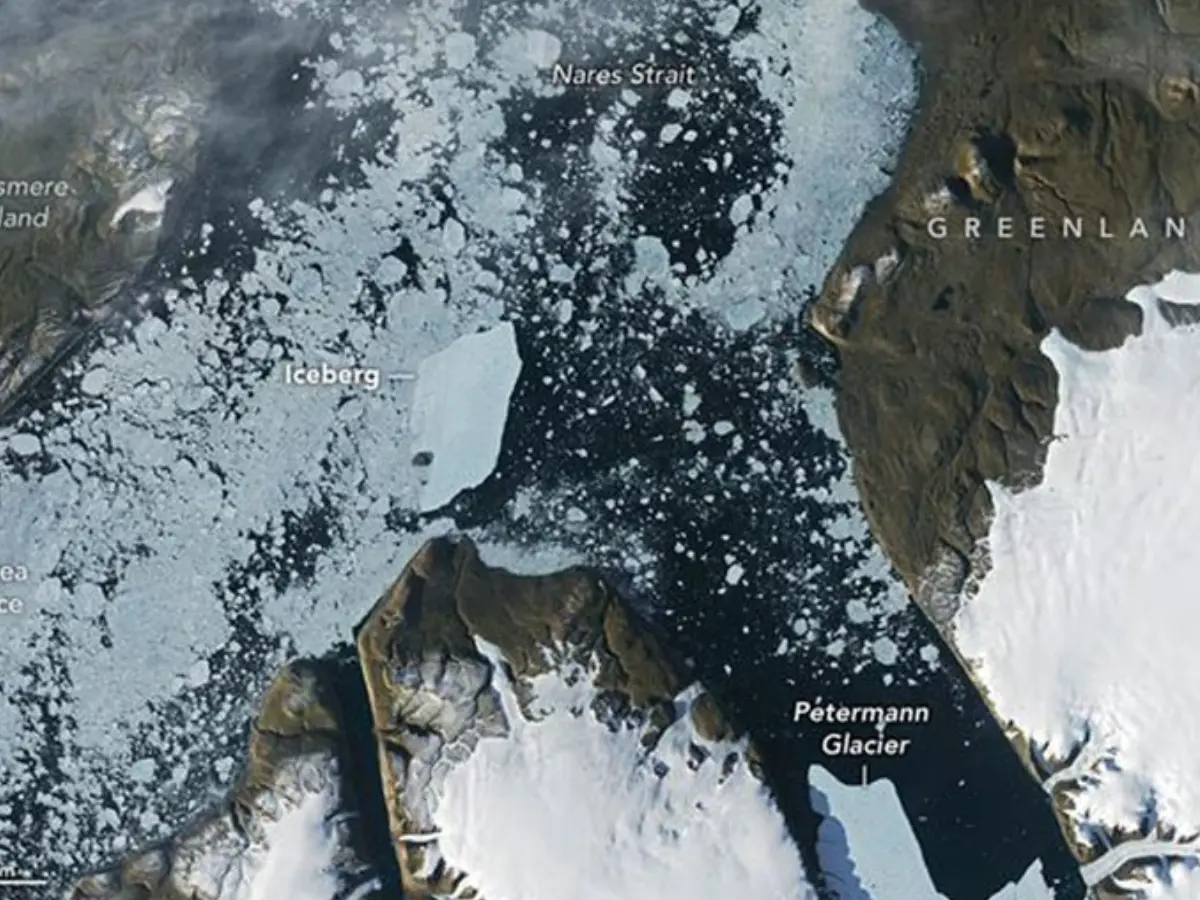
A very large piece of ice broke away from Petermann Glacier in Greenland.
Scientists call this kind of flat iceberg a tabular iceberg or ice island.
It covered a little more than 76 square kilometres.
Satellites watched it move through the water for about a week.
It traveled nearly three kilometres each day.
The iceberg then hit a rocky place called Joe Island.
Many icebergs break apart when they hit the island, but this one stayed mostly whole.
Scientists are still watching two larger cracks that could produce more ice islands.

A tabular iceberg measuring just over 76 square kilometres separated from Greenland’s Petermann Glacier this summer.
The iceberg was the largest to break from Petermann Glacier since a 130-square-kilometre iceberg calved in 2012.
Satellite images showed it traveling nearly three kilometres per day for a week toward Nares Strait.
The iceberg collided with Joe Island on August 23 and 24 but remained largely intact.
Researchers were surprised because the calving came from a smaller, unexpected fracture while larger rifts remain active.
- Who
- An international research team, including Adam Garbo of the University of Ottawa, monitored the iceberg using satellite imagery.
- What
- A 76-square-kilometre iceberg calved from Petermann Glacier, traveled through Petermann Fjord, and collided with Joe Island without major fragmentation.
- Where
- The event occurred at Petermann Glacier on Greenland’s northwest coast, near Joe Island and the entrance to Petermann Fjord.
- When
- The calving occurred during the summer; Landsat 9 captured the collision on August 23 and 24.
- Why
- Researchers were monitoring Petermann Glacier and its floating ice tongue, including several fractures that could produce additional ice islands.
Key facts
- Iceberg size
- A little over 76 square kilometres
- Source glacier
- Petermann Glacier, Greenland
- Historical comparison
- The largest iceberg to break from Petermann since 2012, when a 130-square-kilometre iceberg separated
- Travel speed
- Nearly 3 kilometres per day for one week
- Collision site
- Joe Island, near the entrance to Petermann Fjord
- Collision imagery
- Captured by Landsat 9’s Operational Land Imager on August 23 and 24
- Other potential calvings
- Researchers are waiting for possible 94-square-kilometre and 84-square-kilometre ice islands from larger fractures
Quotes
Adam Garbo
Doctoral student in glaciology at the University of Ottawa who identified the calving event in satellite imagery
“We were certainly watching closely as it interacted with Joe Island and were impressed that it survived the interaction without further fragmentation.”
 wionews.com
Sources
Related news
ISRO Links Nepal Floods to Massive Glacier Collapse
Floating Island Reappears Then Vanishes Again In Canadian Reservoir
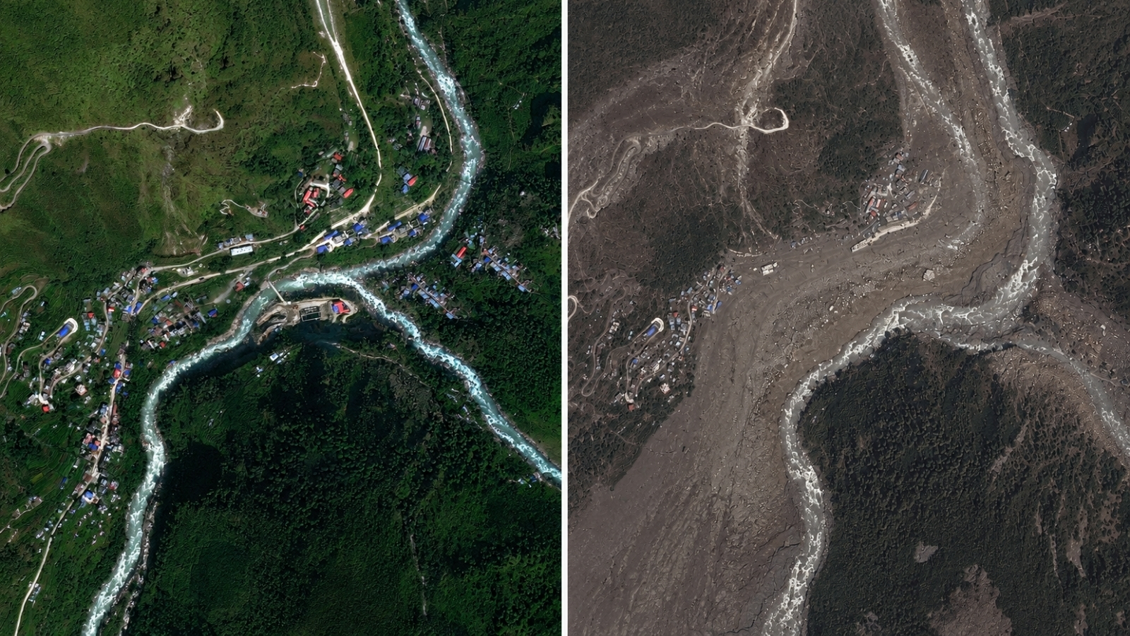
Satellite Images Reveal Glacier Collapse Behind Nepal Border Floods

Satellite Images Reveal Glacier-Linked Collapse Behind Nepal-China Floods
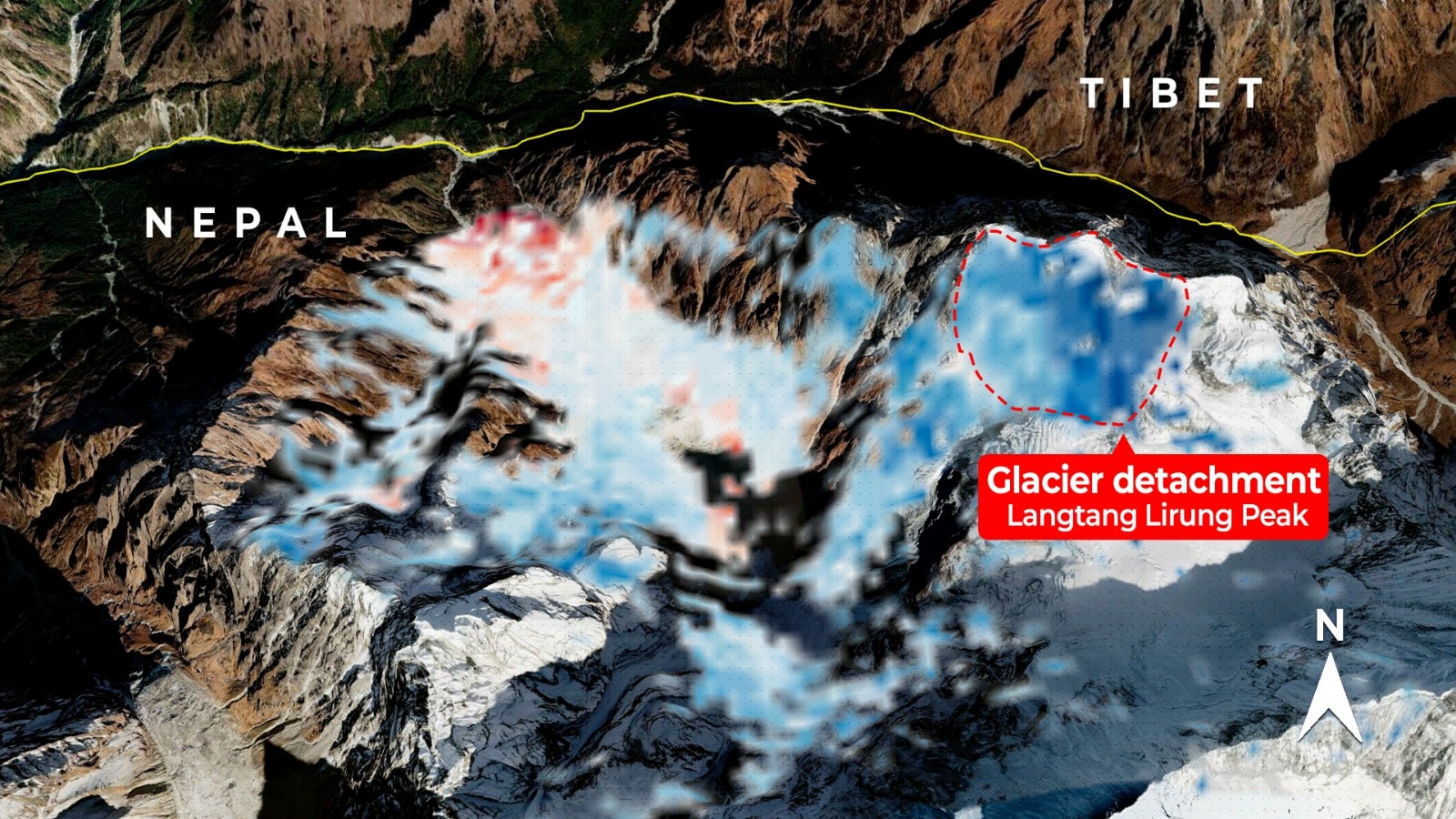
Satellite Radar May Strengthen Nepal's Flood Warning Systems