Science & Tech · Science & Environment · 11 hrs ago
A Powerful El Niño Is Raising Questions About Climate Change

El Niño is a recurring climate pattern marked by unusually warm water in the eastern tropical Pacific.
The current event has already set daily heat records, and US forecasters expect it to be extremely strong through December, with a high chance it will remain so through February.
The added ocean heat can shift weather patterns around the world.
Researchers say climate change is likely influencing El Niño, but exactly how the two processes interact is still being studied.
Many climate models suggest El Niño could grow stronger as the planet warms, though some models have difficulty representing temperature trends in the eastern tropical Pacific.
A study using ancient coral records found that El Niño’s strength has increased during a period that coincides with rising human greenhouse gas emissions, but it did not establish that climate change caused the increase.
Researchers will use this year’s event as another piece of evidence to better understand the connection.

A powerful El Niño is taking shape in the tropical Pacific, and researchers are examining how it may interact with human-driven climate change.
The US National Oceanic and Atmospheric Administration forecasts a 100 percent chance of an extremely strong El Niño through December 2026.
The event has set multiple daily heat records, including a recent peak of 3.4 degrees Celsius.
Scientists say evidence suggests climate change may influence El Niño, but the relationship remains an active area of research.
This year’s event could provide researchers with another data point on how El Niño behaves in a warming climate.
- Who
- Researchers and the US National Oceanic and Atmospheric Administration are discussing and forecasting the event.
- What
- A powerful El Niño is developing, prompting questions about its relationship with climate change.
- When
- It is forecast to remain extremely strong through December 2026, with a chance of lasting through February.
- Where
- The tropical Pacific, particularly the eastern tropical Pacific.
- Why
- El Niño is interacting with a warming climate, but the precise relationship remains under study.
This story does not have two clearly opposing sides.
I have more questions than I have reactions
You can’t separate El Niño from global warming—they’re inextricably linked.
The majority of climate models say that El Nino amplitude shall go up in a warming climate, and all of our paleoclimate records say that we're currently in a more active period of El Niño than the last several 1,000 years
Research published using ancient coral data found an uptick in El Niño amplitude that mirrored the period when humans began pumping greenhouse gases into the atmosphere.
Heat has built in the tropical Pacific as a super El Niño has taken shape.
The event reached a daily heat-record peak of 3.4 degrees Celsius.
NOAA forecasts the heat could peak at 2.7 degrees Celsius above normal over the three-month period.
NOAA forecasts a 100 percent chance of an extremely strong El Niño.
- Recent peak
- 3.4 degrees Celsius
- NOAA forecast for October–December
- 2.7 degrees Celsius above normal
- Chance of extremely strong El Niño through December
- 100 percent
- Chance it remains extremely strong through February
- Above 80 percent
- Previous October–December record
- 2.4 degrees Celsius, set during the 1982–1983 event
- Researcher
- Christopher Callahan of Indiana University
Sources
Related news
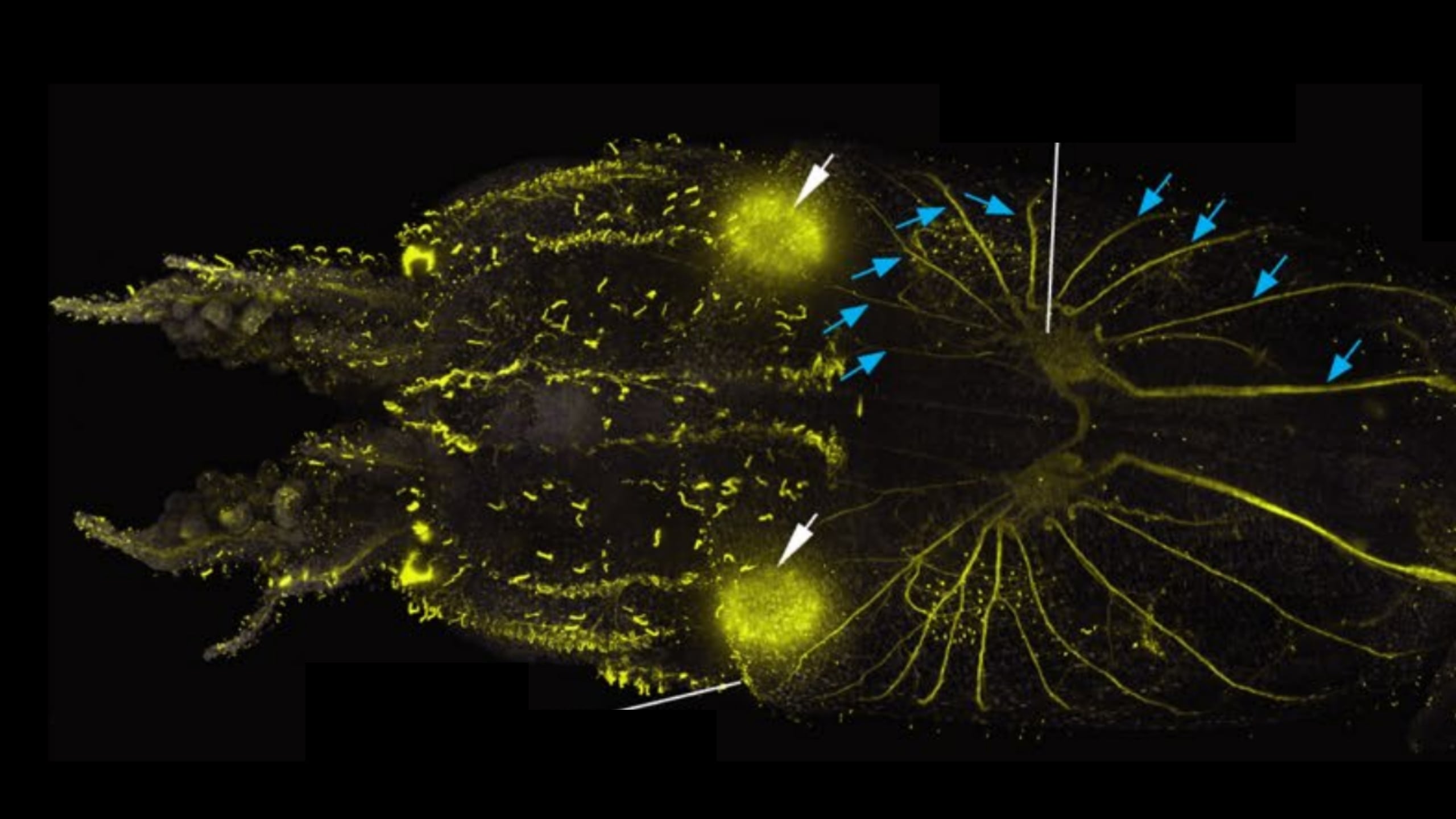
Researchers map hair-like sensory cells across squid bodies
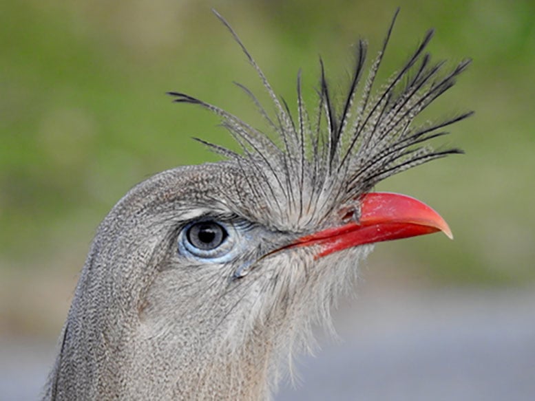
Bellbird and Seriema Among the Loudest Birds Measured
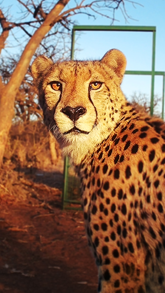
Survey finds only 83 mature cheetahs across a vast area of South Africa

British Columbia rogue wave was nearly three times taller than nearby waves

Detached sea cucumber tissue remained active for more than three years

New book examines the survival skills of 75 fierce forms of nature

Air pollution reaches ‘very poor’ levels in towns near Manaus
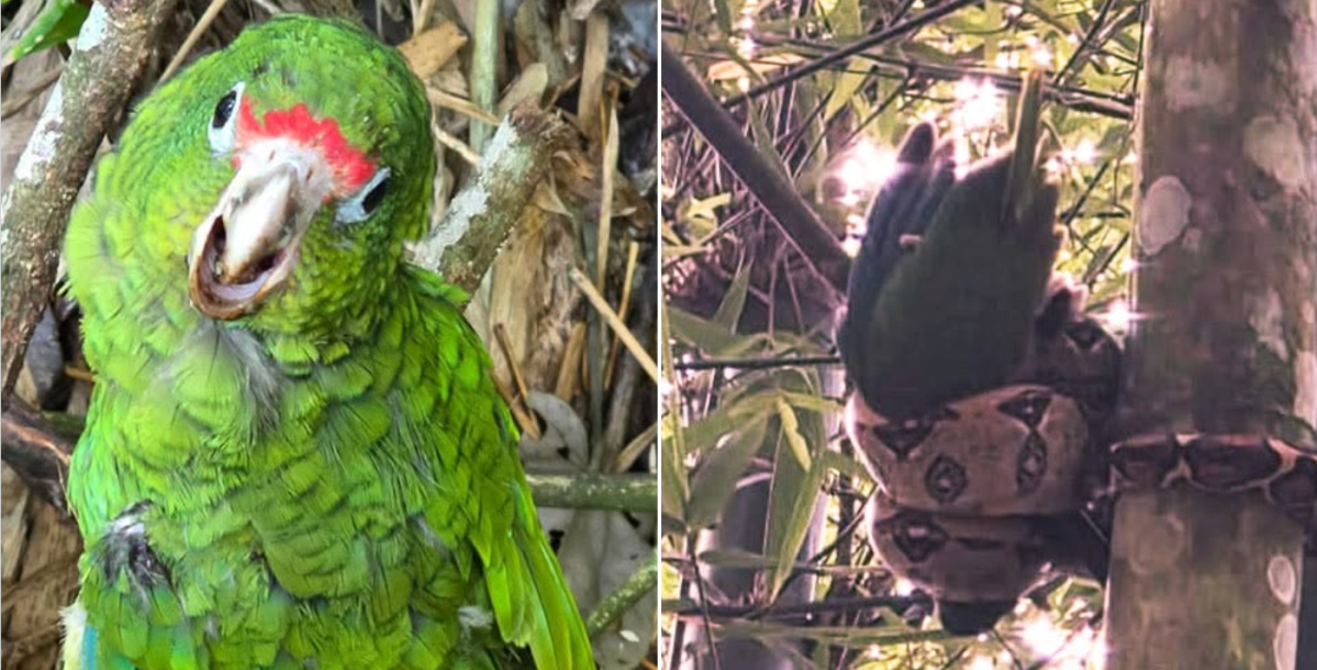
Young Puerto Rican parrot rescued from invasive boa
Warm, mostly sunny weather forecast across the Netherlands this week

Researchers confirm a new giant waterlily species in Colombia

Amazonas fires rise 271% in the first 10 days of October