

1 day ago
India Maps 28 Ladakh Sites, Including China Border Flashpoints
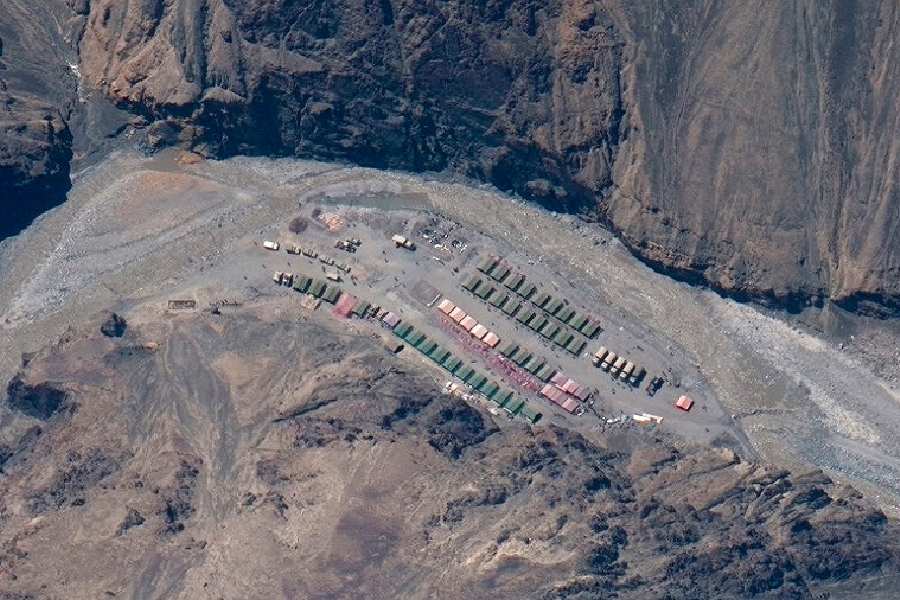
India has added standard names for 28 places and land features in Ladakh to its official map.
The Survey of India map includes places such as Gogra and Hot Spring.
These areas were part of a military standoff between India and China that began in 2020.
The Indian government says the names will make the places easier to identify and help people learn about the region.
India and China later moved troops away from some areas.
Reports differ on how they describe the timing of disengagement.
Some veterans and local representatives worry that buffer zones could make it harder to return to the earlier situation.
The Centre says India has not lost any territory to China.

The Centre identified and marked 28 places and geographical features in Ladakh using standard names on Survey of India maps.
The exercise was conducted in consultation with the Ladakh Union Territory administration to support accurate identification and public awareness.
The listed sites include Gogra and Hot Spring, friction points during the India-China standoff along the Line of Actual Control.
The eastern Ladakh standoff began in 2020; articles report disengagement at Gogra in August 2021 and at Gogra-Hot Springs in September 2022, while another says both sides began disengagement in 2022.
One article reports veterans’ and local representatives’ concerns that buffer zones could complicate restoration of the pre-2020 status quo; the Centre says India has lost no territory to China.
- Who
- The Government of India, in consultation with the Ladakh Union Territory administration.
- What
- Twenty-eight places and geographical features in Ladakh were formally identified by standard names on Survey of India maps.
- Where
- The Union Territory of Ladakh, including Gogra and Hot Spring along the Line of Actual Control.
- When
- The move was announced on a Friday and published on October 2, 2026; the standoff began in 2020.
- Why
- The government said the mapping would support accurate recognition and greater public awareness; reports also describe it as streamlining official cartography.
Government Position
Critics’ Concerns
Border territory and disengagement
Government Position
The Centre denies that India has lost any territory to China. India and China held talks and disengaged from some friction points.
Critics’ Concerns
Military veterans and local elected representatives have objected to buffer zones and no-patrolling areas inside India-claimed lines, arguing they could hinder restoration of the pre-April 2020 status quo.
Key facts
- Number of sites
- 28 places and geographical features
- Mapping authority
- Survey of India
- Consulting administration
- Ladakh Union Territory administration
- Notable sites
- Gogra and Hot Spring
- Standoff began
- 2020; one article specifies May 5, following a clash in the Pangong Lake areas
- Reported disengagement
- One article says Gogra in August 2021 and Gogra-Hot Springs in September 2022; another says both sides began disengagement in 2022.
- Name variations across reports
- The articles use Alisha Giri and Atisha Giri, and Shachmirik Pass and Shachmirk Pass.
Quotes

Union home ministry
India’s central ministry responsible for the announcement
“Government of India, in consultation with the Union Territory of Ladakh, has identified a total of twenty-eight (28) places/features, located in the UT of Ladakh, by standard place and feature names on the official map of Survey of India (SoI),”
 deccanchronicle.com
 telegraphindia.com
 thehindubusinessline.com
“Identifying them formally on the Survey of India map of UT of Ladakh is aimed at facilitating their accurate recognition and better awareness among the public at large.”
telegraphindia.com
Sources

Related news
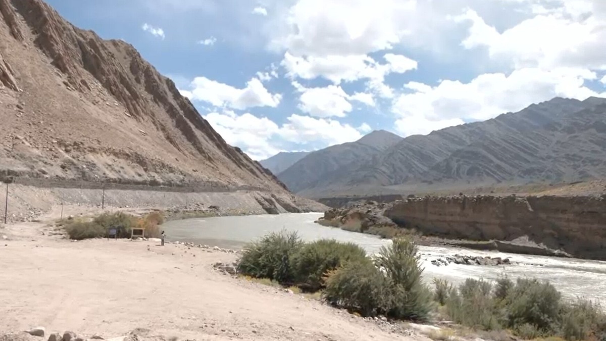
Centre Officially Standardises 28 Geographic Locations Across Ladakh
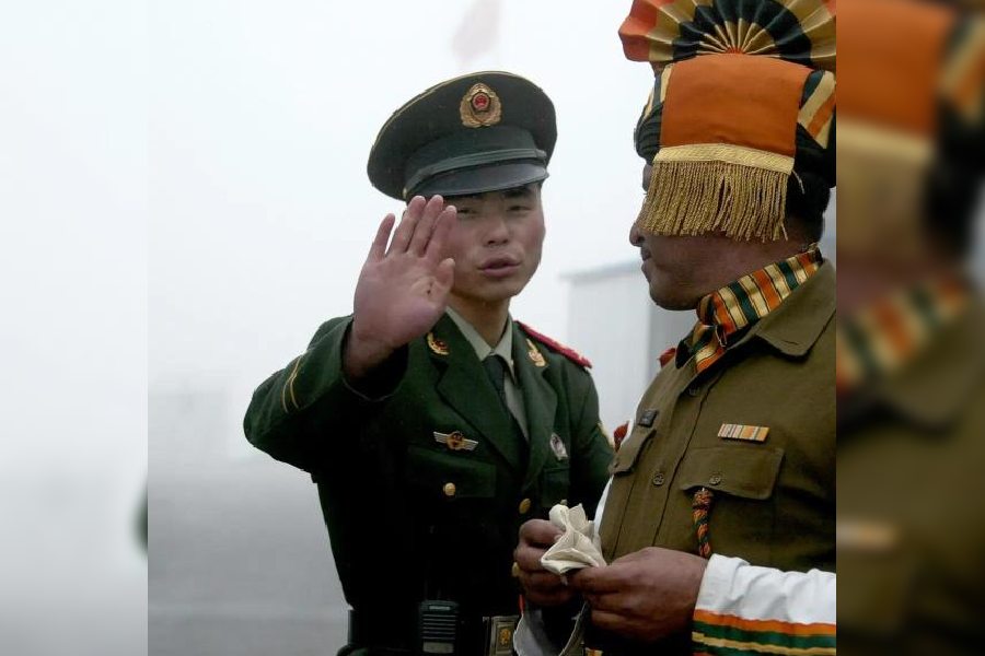
India and China Need Settlement Beyond Map Battles
UN Map's Arunachal Pradesh and Aksai Chin Lines Spark Dispute

India, China Armies Hold LAC Talks in Arunachal Sector
India, China Hold First Arunachal Commander Talks Amid Tensions
Defence Report Says China Reduced LAC Deployment in 2025
Arunachal Explores Geothermal Power for Remote Border Areas
India Challenges Pakistan at UN Over Jammu and Kashmir
LG Engages Village Heads to Strengthen Grassroots Governance in Ladakh
