1 hr ago
India and China Need Settlement Beyond Map Battles
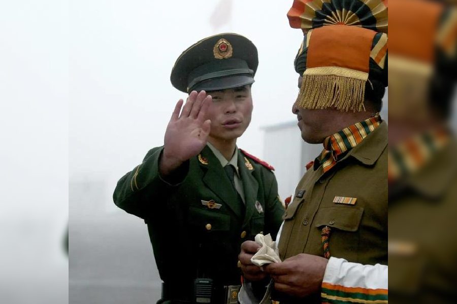
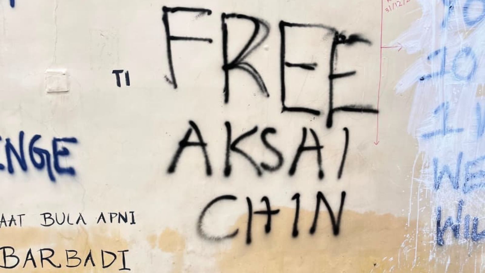
India and China disagree about where their border should be in the Himalayas.
China has given new names to places in Arunachal Pradesh, while India has officially recorded 27 names of its own.
These naming efforts are more than a contest over maps because they support each country’s territorial claims.
A 2005 agreement says the countries should settle the dispute peacefully and consider history, local conditions and the interests of people living near the border.
The article says people who have lived in Arunachal Pradesh for generations should not be treated the same as newer settlements created for strategic reasons.
It argues that India should improve administration and infrastructure in its frontier areas.
India and China should also make the border calmer by regulating patrols and sharing maps of their claims.
A possible final agreement could recognise much of the existing territorial control while protecting local people, religious links and cultural traditions.

India has officially identified and standardised 27 places and geographical features in Arunachal Pradesh.
China periodically assigns Chinese, Tibetan and Roman-script names to locations in Arunachal Pradesh, which it calls Zangnan or South Tibet.
The 2005 India-China agreement outlines a three-stage process for resolving the boundary dispute but does not demarcate the border.
The article argues that India’s case rests on continuous administration, democratic institutions and the population’s connection with India.
It proposes stabilising the Line of Actual Control and eventually recognising the existing pattern of territorial control, with protections for local communities and cultural ties.
- Who
- India and China, including the people living in Arunachal Pradesh and other border areas.
- What
- A dispute over the India-China boundary, including competing place names, settlements, administration and possible territorial settlement.
- Where
- Arunachal Pradesh, including Tawang, and the wider India-China border, including Aksai Chin and the Line of Actual Control.
- When
- The relevant political agreement was signed on April 11, 2005; India’s naming exercise responds to China’s recurring renaming efforts.
- Why
- The countries seek to strengthen their territorial claims and address a dispute that has contributed to recurring military tensions.
India’s interpretation and proposed approach
China’s possible interpretation and claims
Meaning of settled populations
India’s interpretation and proposed approach
India’s stronger interpretation is that protecting the due interests of established populations means they should not be transferred against their wishes, especially in populated areas such as Tawang.
China’s possible interpretation and claims
The article says China could argue that the interests of settled populations can be protected even if sovereignty changes.
Role of names and settlements
India’s interpretation and proposed approach
India’s 27-name list preserves historical terminology and challenges China’s naming narrative, while India should rely primarily on its continuous and effective administration.
China’s possible interpretation and claims
China’s renaming of locations and construction of border villages could be used to build a documentary record and demonstrate an administrative and civilian presence.
Possible final settlement
India’s interpretation and proposed approach
The article proposes that China recognise Indian sovereignty over Arunachal Pradesh, including Tawang, while India accepts Chinese control over most of Aksai Chin, subject to adjustments.
China’s possible interpretation and claims
The article presents this as a proposed compromise rather than an accepted Chinese position; China’s territorial claims and interpretation of border conditions remain unresolved.
Key facts
- Indian naming exercise
- India identified and standardised 27 places and geographical features in Arunachal Pradesh on official Survey of India maps.
- 2005 agreement
- The Agreement on Political Parameters and Guiding Principles was signed in New Delhi on April 11, 2005.
- Settlement framework
- The agreement envisioned political principles, a framework for settlement, and eventual delineation and demarcation.
- Key provisions
- Articles V and VII address historical evidence, border conditions, national sensitivities and the due interests of settled populations.
- China’s terminology
- China refers to Arunachal Pradesh as Zangnan or South Tibet and periodically publishes alternative names for locations there.
- Proposed stabilisation measures
- The article recommends map exchanges, regulated patrolling, joint verification and restrictions on new settlements or permanent military structures in disputed areas.
- Suggested territorial package
- The article proposes broadly converting existing territorial control into a recognised boundary, with China accepting Indian sovereignty over Arunachal Pradesh and India accepting Chinese control over most of Aksai Chin.
Sources
Related news
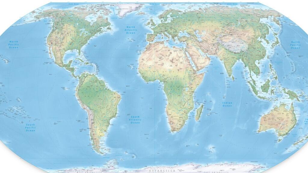
UN Map's Arunachal Pradesh and Aksai Chin Lines Spark Dispute
India-China Border Talks Test Prospects for Early Settlement

India and China Reach Eight-Point Border Management Consensus
China-India Talks Reopen High-Level Channels Beyond Border Disputes

India, China Agree on Eight-Point Roadmap for Border Management

India-China Talks Seek Border Progress Amid Calls for Peace

India-China Border Equilibrium Faces Tests Beyond Current Détente

Udit Raj Urges India-China Talks on Border and Trade Issues

UN Map Reform Challenges Colonial Distortions and Border Claims