1 hr ago
Delhi Approves GIS Mapping Project to Speed Property Regularisation

The Centre has approved money for a project called DRISHTI in Delhi.
It is meant to help people in unauthorised colonies get recognised property rights through the PM-UDAY scheme.
The project will make digital maps of properties and connect them with government records.
New help cells are planned in all 13 districts, as well as a unit at the headquarters.
The total project cost is Rs 65 crore.
The Centre will provide most of the money, and Delhi’s Revenue Department will provide the rest.
Officials hope the maps will make applications clearer and reduce delays and disputes.
The project’s success will depend on how well the surveys, technology and government coordination work.

The Centre approved a Rs 65 crore DRISHTI project to support property regularisation under PM-UDAY in Delhi’s unauthorised colonies.
The project will use digital surveys and GIS maps to record property boundaries and built-up structures and connect spatial data with revenue records.
PM-UDAY Cells are planned in all 13 Delhi districts, with a dedicated unit at the Revenue Department headquarters.
The Centre will contribute Rs 52 crore and Delhi’s Revenue Department Rs 13 crore; the central grant may be released in one instalment for procurement through GeM.
Officials say the system aims to reduce delays and conflicting claims, but implementation will depend on staffing, procurement and integrating records across agencies.
- Who
- The Centre and the Delhi government’s Revenue Department; the project is intended to help eligible residents of Delhi’s unauthorised colonies.
- What
- Approval of the Rs 65 crore DRISHTI project for GIS-based surveys and mapping to support property regularisation under PM-UDAY.
- Where
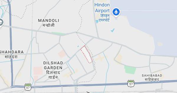
- Delhi, including its 13 districts.
- When
- The approval is reported in the article; a Delhi government post announcing it is dated October 8, 2026.
- Why
- To support the processing of property rights for eligible residents and reduce delays, disputes and inconsistencies in property records.
Key facts
- Project
- DRISHTI — Delhi Revenue and Imaging Survey, Spatial Technology Initiative
- Total cost
- Rs 65 crore
- Central contribution
- Rs 52 crore (80%), through the Ministry of Housing and Urban Affairs’ Urban Development Fund
- Delhi contribution
- Rs 13 crore (20%), from the Delhi Government’s Revenue Department
- Planned local units
- PM-UDAY Cells in all 13 districts, plus a dedicated headquarters unit
- Procurement provision
- The full central grant may be released in one instalment if equipment and services are procured through the Government e-Marketplace (GeM)
- Implementation
- The Revenue Department will implement DRISHTI; PM-UDAY is carried out jointly by the DDA, Revenue Department and MCD
Quotes

Rekha Gupta
Chief Minister of Delhi
“legal security and property rights to lakhs of families living in unauthorised colonies”
 financialexpress.com
Sources
Related news

Delhi MCD Launches Drone Survey to Improve Property Tax Assessment

MCD Seeks Rs 60 Crore Grant to Curb Illegal Construction
MCD Approves 75% Rebate on PM-UDAY Regularisation Charges
Rekha Gupta Launches 53 Civic Projects Across Delhi’s Unauthorised Colonies
Government Launches DILRMP 3.0 for Integrated Land Records
Genesys International Wins Rs 283-Crore Ahmedabad 3D Digital Platform Contract

Delhi Seemapuri Building Collapse Death Toll Reaches Four

MCD Schools Plan More Varied, Child-Friendly Midday Meals

Supreme Court Pulls Up Departments Over Delhi Heritage Upkeep