2 weeks ago
Latin America's super El Niño to impact top food-exporting region

El Niño is a weather pattern that happens when the Pacific Ocean gets warmer than usual in some places.
Warmer ocean water changes weather all over the world.
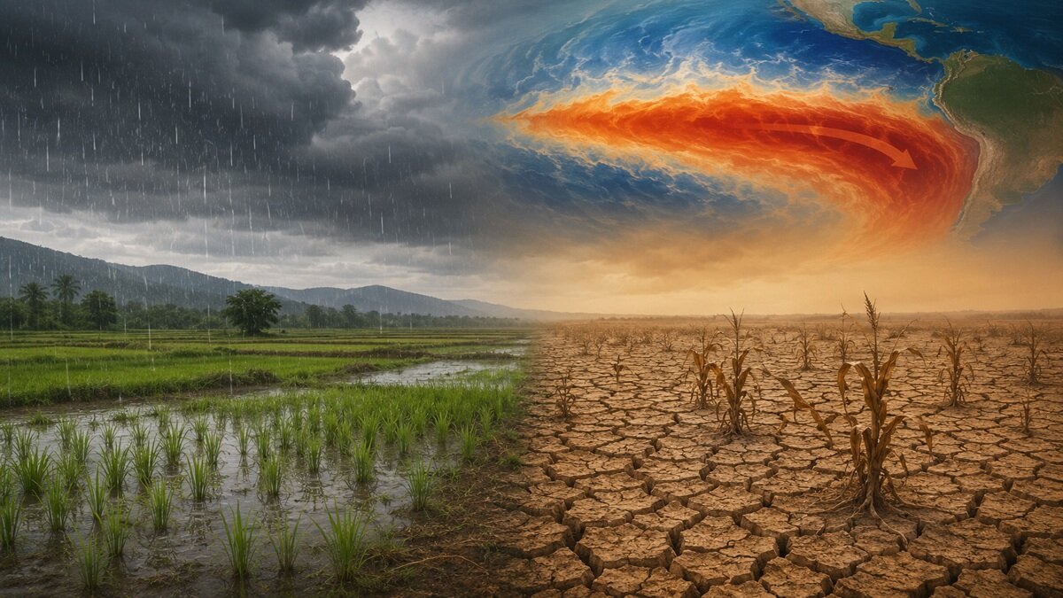
In Latin America, El Niño usually brings extra rain to the south and dry weather to the north.
Scientists think this El Niño could be one of the strongest ever recorded.
Extra rain can help farmers grow crops like soybeans, corn and wheat.
But too much rain can flood fields and roads, making it harder for farmers to work.
Warm water also makes fish swim deeper, so fishermen in Peru are catching far fewer fish.
Dry weather up north can shrink rivers like the Amazon and raise the risk of wildfires.
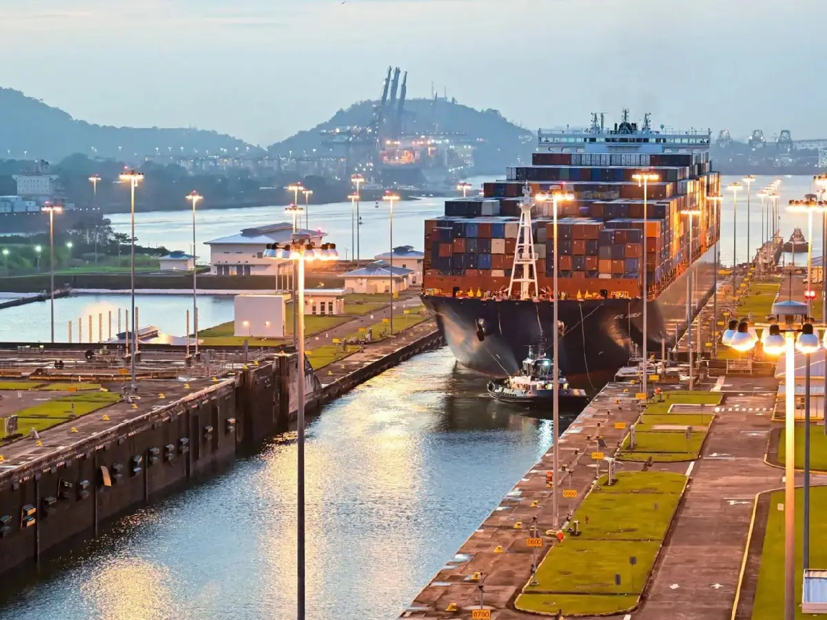
Less rain can also leave the Panama Canal short of water, so ships have to carry smaller loads.
Experts are watching carefully to help people prepare for the changes.

Experts warn Latin America could face the strongest El Niño in modern records, potentially exceeding the 2015-16 event.
Above-normal rainfall in Argentina, Paraguay, Uruguay and southern Brazil could boost soybean, corn and wheat harvests.
Heavy rains from September could flood cities and rural roads, prompting Paraguay to put military units on alert in July.
Warmer seas have pushed fish into deeper waters, cutting Peru's fishing activity by 31% in the first five months of the year.
Drier conditions threaten the Amazon river network, crops in Brazil, Colombia and Venezuela, and the Panama Canal.
- Who
- Experts and analysts, including meteorologist Germán Heinzenknecht of Argentina's Applied Climatology Consultancy, Leydson Dantas of Brazil's National Institute of Meteorology and the UN's Food and Agriculture Organization, in reporting by Reuters.
- What
- A potentially record-strength El Niño expected to affect agriculture, energy production, trade routes and the environment across Latin America.
- Where
- Latin America, including Argentina, Brazil, Paraguay, Uruguay, Peru, Chile, Colombia, Venezuela and Panama.
- When
- Reported on August 13, with the phenomenon expected to strengthen from September.
- Why
- Unusually warm sea surface temperatures in the central and eastern tropical Pacific Ocean are disrupting weather patterns worldwide.
Key facts
- El Niño forecast
- Potentially the strongest on record, possibly exceeding the 2015-16 event
- Expected to strengthen
- From September
- Crop outlook
- Above-normal rainfall could boost soybean, corn and wheat harvests in Argentina, Paraguay, Uruguay and southern Brazil
- Peru fishing industry
- Activity down 31% in the first five months of the year
- Southern Brazil rainfall
- 256% of the long-term average in July across hydroelectric basins
- Paraguay response
- Military units on alert and civilian engineering teams mobilized in July
- Energy outlook
- Drier, hotter conditions in northern and western Brazil could boost demand for Argentine natural gas (per OLADE), while heavier rains could swell the Paraná River for hydroelectric use
- Panama Canal measures
- Maximum vessel drafts lowered to conserve fresh water; last-minute slot auctions fetching millions of dollars
Quotes
Germán Heinzenknecht
Meteorologist at Argentina’s Applied Climatology Consultancy
“"El Niño could boost soybeans, corn and wheat harvests by providing soil moisture for planting and improving water availability during the December to February summer."”
 theprint.in
“"Every El Niño tells a different story," said Leydson Dantas, a specialist at Brazil’s National Institute of Meteorology.”
theprint.in
Sources
Related news
El Niño Rains Flood Peru, Disrupting Access to Machu Picchu
UN Warns Strong El Niño Could Push Millions into Hunger

Panama Declares Emergency as El Niño Worsens Drought
El Niño Threatens India’s September Rainfall After Hottest August
Possible Super El Niño Could Reshape 2026–27 Weather Patterns
Historic El Niño to develop by year-end, US agency says