

2 hrs ago
J&K Chief Secretary Pushes Full AgriStack Coverage For Farmers
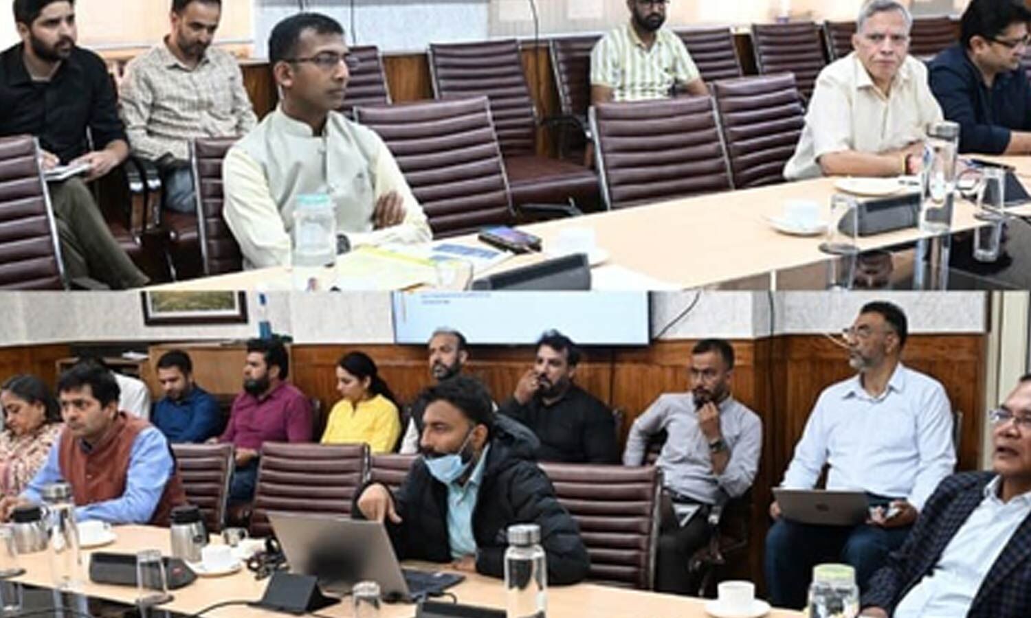
Jammu and Kashmir is putting farmers’ land information into digital records.
Chief Secretary Atal Dulloo told district officials to make sure no eligible farmer is missed.
The administration has digitised land records in all 20 districts and 6,818 villages.
However, AgriStack approval has reached about 80.7 per cent of the total land-parcel records.
More than 1.21 lakh Farmer IDs have been created so far.
Officials are also mapping land parcels and checking crop information digitally.
The government wants these records to be accurate and checked in the field.
It also hopes better records will help farmers access agricultural loans more easily.

Chief Secretary Atal Dulloo directed Deputy Commissioners to ensure every eligible farmer receives AgriStack coverage and a Farmer ID.
J&K has digitised land records across all 20 districts, 207 tehsils and 6,818 villages, covering 68,62,596 Khasras.
AgriStack data entry covers 65,77,944 Khasras, with 57,30,681 approved—80.7 per cent of the 71,04,737-Khasra base.
The administration has generated 1,21,472 Farmer IDs across 1,663 villages, including 70,979 in Kashmir and 52,751 in Jammu.
Officials reviewed ULPINs, BhuNaksha map integration, the Digital Crop Survey and proposed links between land records and RBI’s Unified Lending Interface.
- Who
- Jammu and Kashmir Chief Secretary Atal Dulloo, Deputy Commissioners and other land and finance officials.
- What
- A review meeting assessed land-record digitisation, AgriStack implementation, Farmer IDs, ULPINs, BhuNaksha and related systems.
- Where
- Across Jammu and Kashmir’s 20 districts, 207 tehsils and 6,818 villages.
- When
- The review meeting was held on Friday; ULPIN figures were reported as of September 25.
- Why
- To complete farmer registration, improve the accuracy of land records, speed up citizen services and support access to institutional agricultural credit.
Key facts
- Foundational digitisation
- Completed across 20 districts, 207 tehsils and 6,818 villages.
- Digitised land parcels
- 68,62,596 Khasras have been digitised.
- AgriStack approval
- 57,30,681 Khasras approved, representing 80.7 per cent of the 71,04,737-Khasra base.
- Farmer IDs
- 1,21,472 Farmer IDs generated across 1,663 villages.
- Digital Crop Survey
- Survey completed for 30,61,696 plots, or 96.55 per cent of the target.
- ULPINs
- 33,47,011 ULPINs generated across 5,275 villages as of September 25.
- BhuNaksha maps
- Of 6,818 village maps, 6,468 were handed to BISAG-N and 6,049 received back.
Sources
Related news
Uttar Pradesh AgriStack Farmer Registry Reaches 86.88 Percent Target

Farmer Registry Proposed Mandatory for Future PM-KISAN Installments

Digital Kisan Credit Card Pilot Promises Faster Farmer Loans

Government Launches DILRMP 3.0 for Integrated Land Records
Officials Inspect Land Re-Survey Work in Mavaturu, Nagaluru
Andhra Pradesh Officials Require Farmers’ Presence During Land Re-survey
J&K NC MLA, Spokesperson Booked After PSO Altercation
Rangareddy Student Vaishnavi Selected for National School Games
Former Judges Panel to Examine SIR Electoral Roll Revision

Mukesh Choudhary’s fearless comeback powers Irani Cup fightback
