

2 weeks ago
UN Backs More Accurate World Maps Over Mercator Distortions

The Earth is round, but maps are flat, so every map changes some part of reality.
The familiar Mercator map is useful for sailors because it preserves directions.
However, it makes places near the North and South Poles look much bigger than they really are.
For example, Greenland can look almost as large as Africa, even though Africa is about 14 times larger.
The United Nations supported using other maps when people want to compare the true sizes of continents.
One example is the Equal Earth projection.
Togo and the African Union supported the change, while the United States voted against it.
The resolution does not ban the Mercator map or require one map for every purpose.
Supporters believe maps affect how people think about the importance of different parts of the world.

The United Nations General Assembly backed a resolution promoting maps that represent continent sizes more accurately.
The resolution passed with 164 countries in favor, the United States opposed, and six abstentions.
Led by Togo with African Union support, the initiative encourages equal-area projections such as Equal Earth.
The Mercator projection preserves navigation angles but makes areas near the poles, including Greenland, appear much larger than they are.
Supporters say changing common map practices could improve education and challenge longstanding Global South underrepresentation; the United States called the initiative unnecessary.
- Who
- The United Nations General Assembly, led by Togo with support from the African Union; the United States opposed the resolution.
- What
- The General Assembly approved a resolution encouraging wider use of equal-area map projections to represent continent sizes more accurately.
- Where
- At the United Nations.
- When
- At a United Nations General Assembly vote; the articles do not specify the date.
- Why
- To reduce the size distortions of commonly used maps, particularly when teaching or comparing the geographical size of continents.
Equal-Area Map Advocates
United States Criticism
Accuracy and representation
Equal-Area Map Advocates
Supporters argue that equal-area maps better show the actual relative size of continents and reduce the visual diminishment of Africa and other parts of the Global South.
United States Criticism
The United States opposed the resolution and questioned the value of directing United Nations attention toward historical map projections.
Use in education
Equal-Area Map Advocates
Advocates say maps shape how children imagine the world, so maps used to compare continents should preserve relative land area.
United States Criticism
Critics argue that changing map conventions is unnecessary amid wars, economic crises, climate change, migration and other urgent problems.
Role of the Mercator projection
Equal-Area Map Advocates
Supporters want to challenge its dominance while allowing it to remain useful for navigation.
United States Criticism
The projection's original navigation purpose remains a valid reason to continue using it for suitable tasks.
Key facts
- Vote result
- 164 countries supported the resolution, the United States voted against it, and six abstained.
- Initiative leader
- Togo led the initiative with backing from the African Union.
- Recommended approach
- The resolution encourages wider use of equal-area projections, including Equal Earth.
- Mercator purpose
- Gerardus Mercator introduced the projection in 1569 to support maritime navigation by preserving angles and directions.
- Key distortion
- Greenland can appear almost as large as Africa on a Mercator map, although Africa is roughly 14 times larger.
- Equal Earth designers
- Equal Earth was designed in 2018 by Tom Patterson, Bojan Šavrič and Bernhard Jenny.
- Policy scope
- The resolution does not ban the Mercator projection or require a single map for all purposes.
Quotes
Unattributed observation
An unattributed statement introducing the article’s discussion of maps and perception
“A map is not just a picture of the world; it is a picture of how we understand the world.”
 thestatesman.com
Sources
Related news
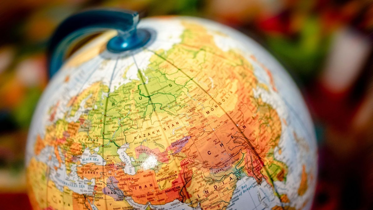
UN Pushes Equal Earth Maps as Mercator Faces Scrutiny
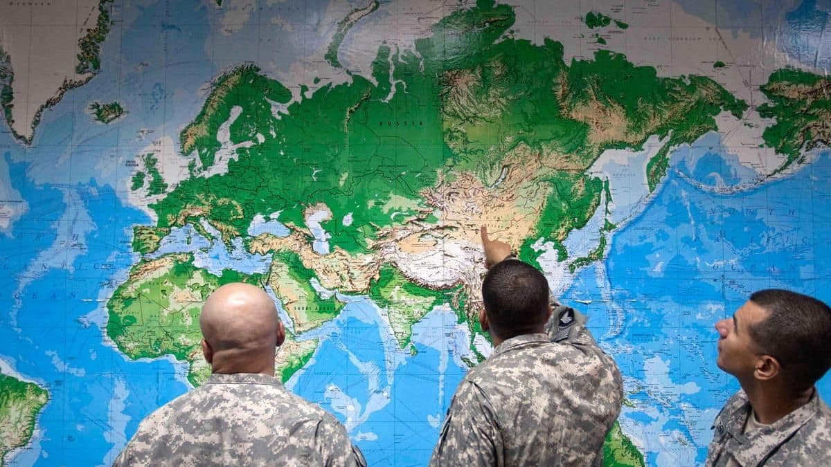
UN Assembly Backs Equal Earth Map With India’s Support
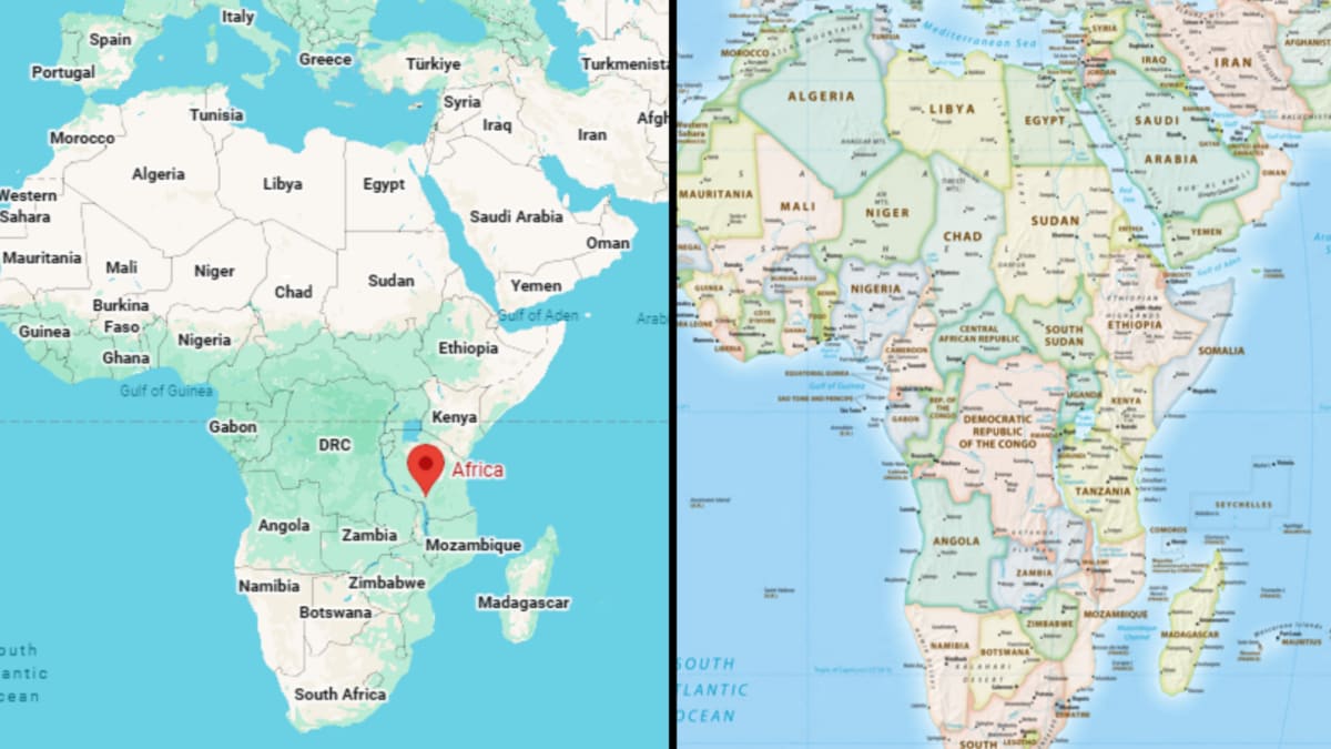
UN Backs Equal Earth Map to Correct Africa’s Distorted Image

UN Map Resolution Challenges Mercator’s Colonial-Era Distortions
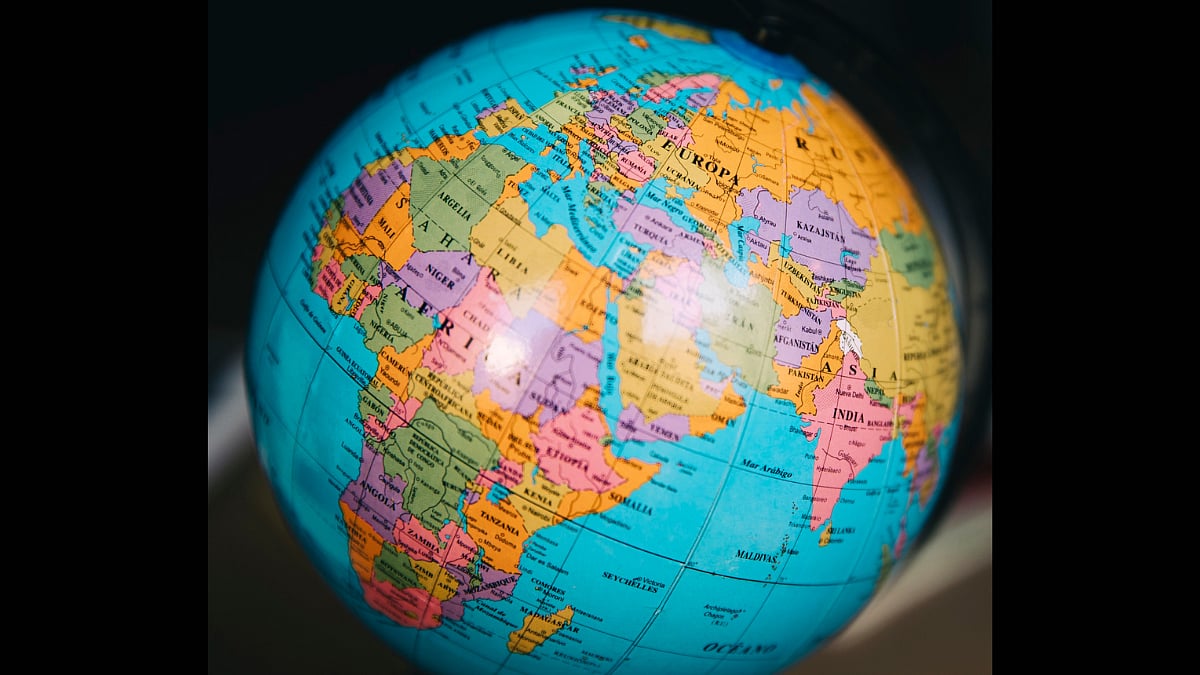
Decolonising World Maps: Debate Over Mercator, Equal Earth, and Education
