

1 hr ago
Satellite Images Show Nepal’s Trishuli River Swelled Sixfold
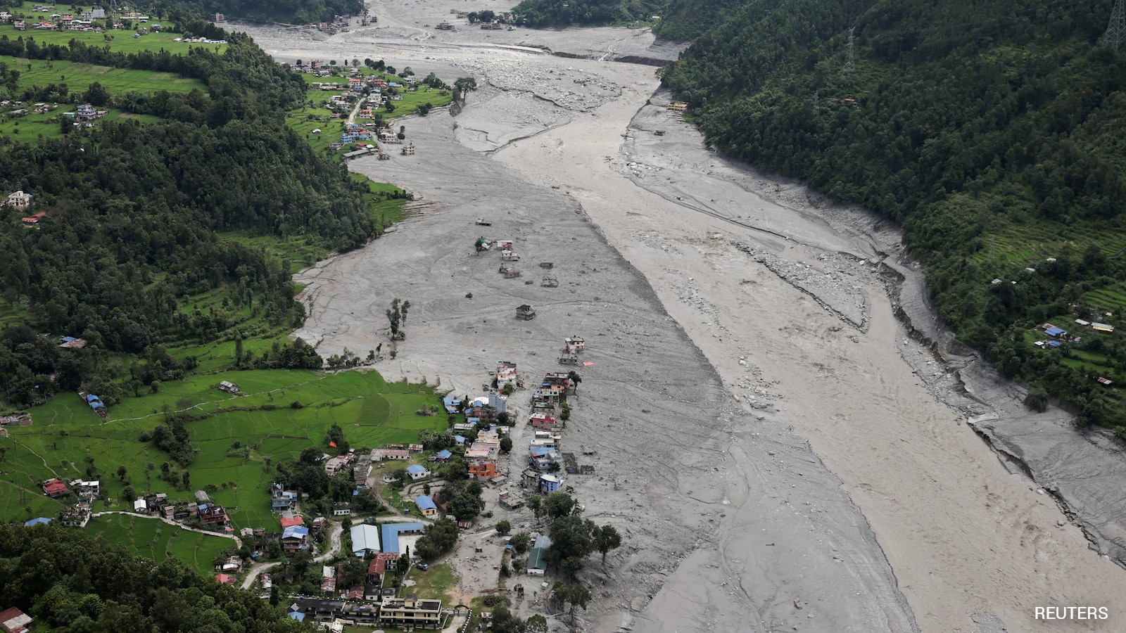
A large slide of rocks and ice caused a sudden flood near the Nepal-Tibet border.
The flood carried mud, rocks, and debris through nearby valleys.
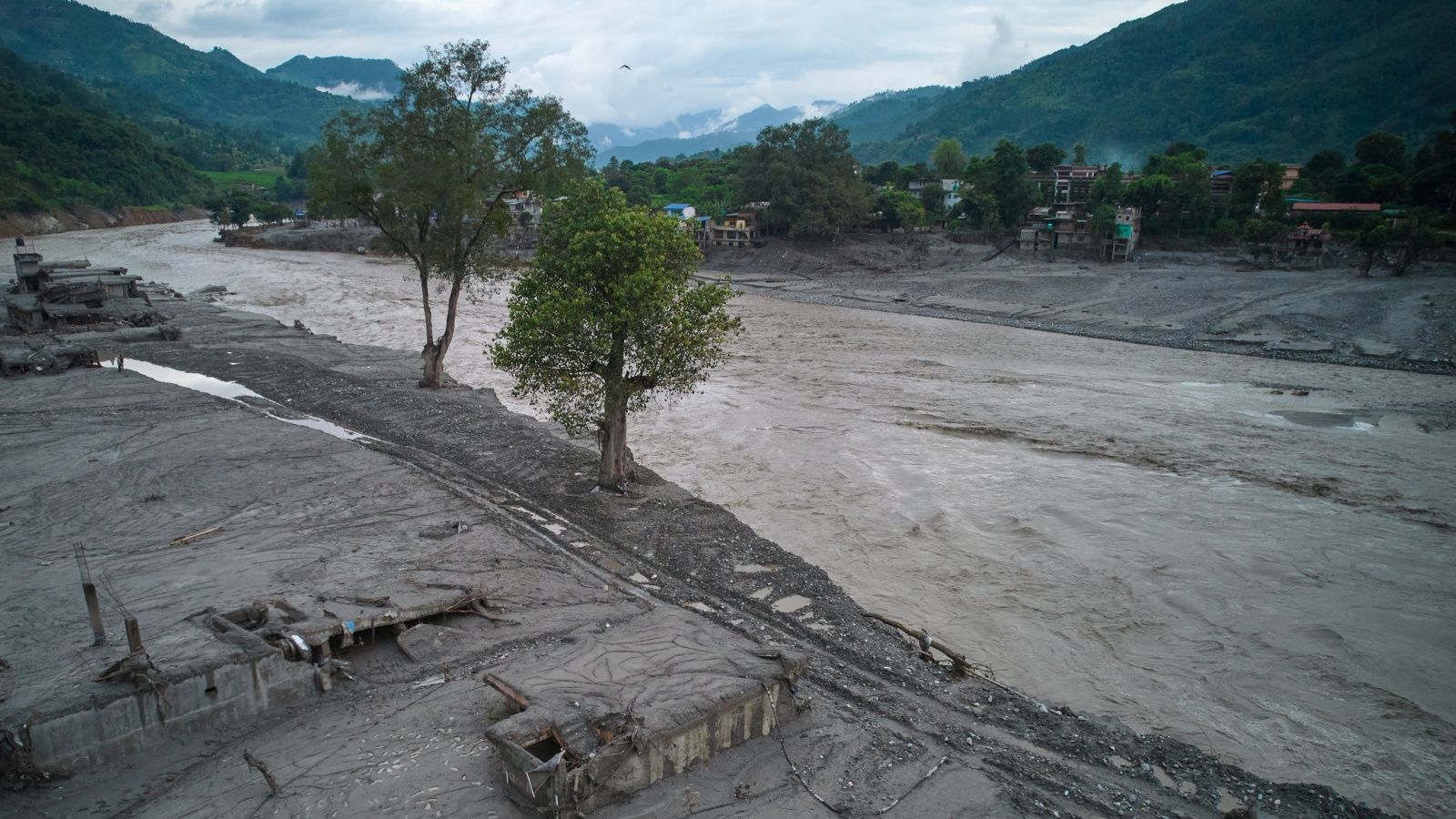
The Trishuli River became much wider than it was before the disaster.
In some places, it grew as much as six times wider.
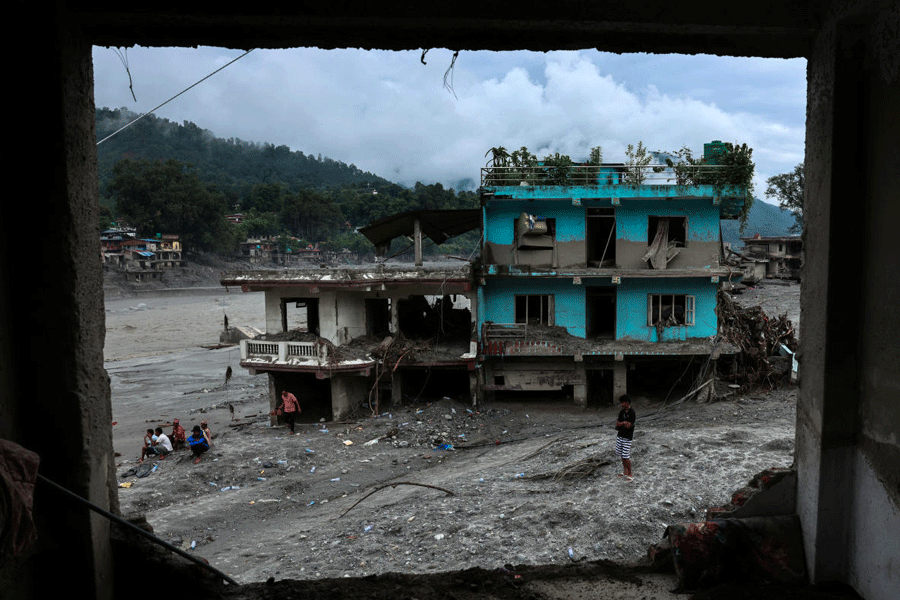
Water and debris damaged homes, roads, villages, and markets.
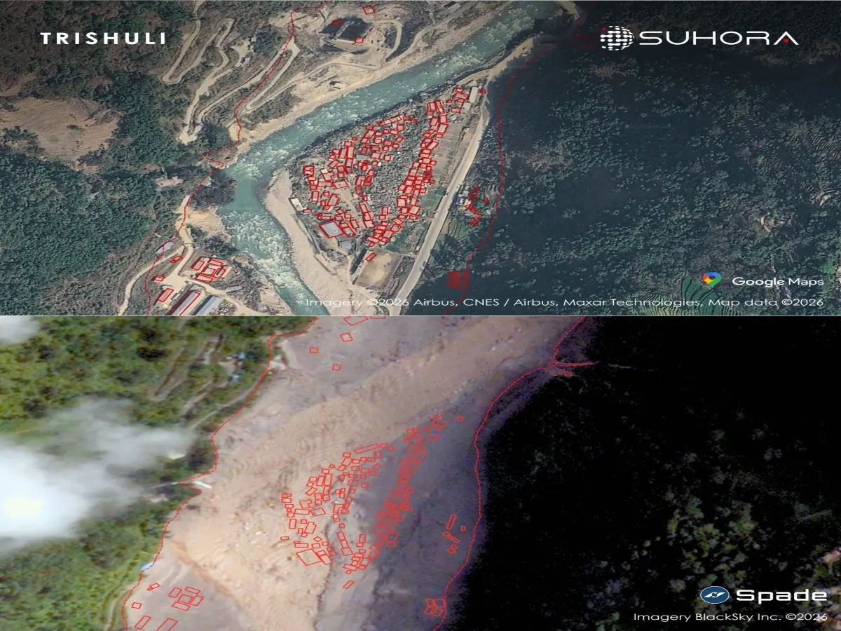
Nearly 300 homes may have been swallowed in Syabrubesi.
Rescue teams were still working on the tenth day, and two tunnel workers were found alive.
More than 1,200 people were reported dead, while thousands remained missing in Nepal and China.

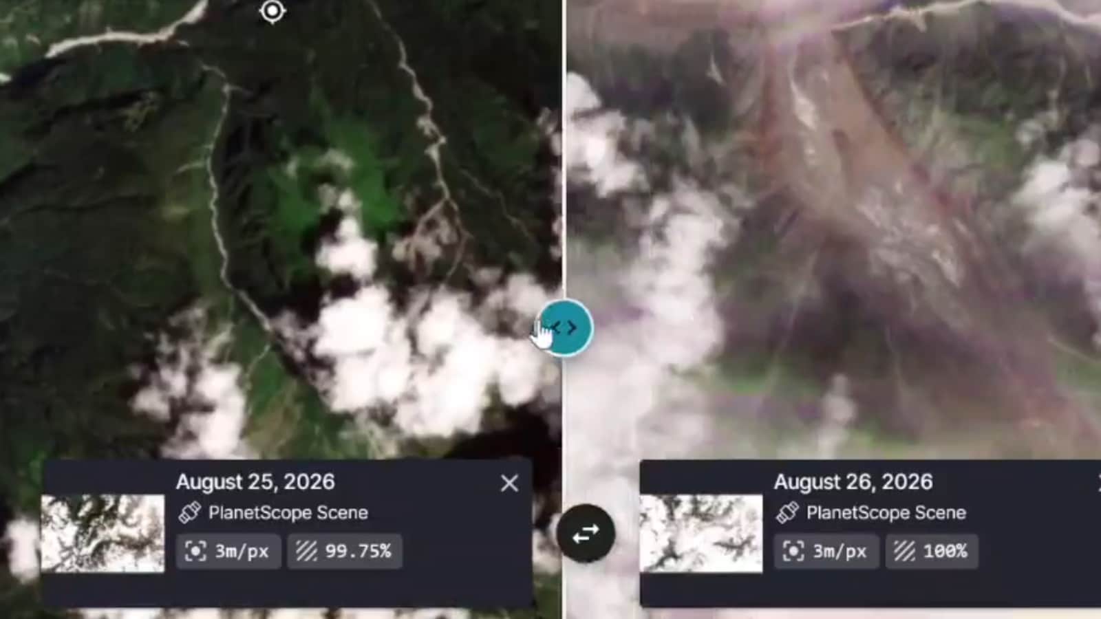
A rock and ice avalanche on August 26 triggered devastating floods along Nepal’s Trishuli River.
In Timure, the river widened from 78 metres to 350 metres after the floods.
In Syabrubesi, the river expanded from 65 metres to 300 metres and reportedly swallowed nearly 300 homes.
In Nuwakot’s Chaupthoke locality, the river grew from 65 metres to 443 metres wide.
The disaster has reportedly killed 1,280 people and left 5,624 missing in Nepal and China.
- Who
- Residents and communities in Nepal were affected; rescue teams also rescued two workers from a hydropower tunnel.
- What
- A rock and ice avalanche triggered floods that dramatically widened the Trishuli River and caused extensive destruction.
- Where
- The disaster affected Rasuwa, Nuwakot, and Lalitpur districts in Nepal, with impacts also reported in China.
- When
- The avalanche and flooding occurred on August 26; rescue operations were in their tenth day when the report was published.
- Why
- The sudden avalanche caused a rapid rise in water levels, sending mud, rocks, and debris through river valleys.
Key facts
- Trigger
- A rock and ice avalanche near the Tibet-Nepal border
- Date
- August 26
- Timure river width
- Expanded from 78 metres to 350 metres
- Syabrubesi river width
- Expanded from 65 metres to 300 metres
- Chaupthoke river width
- Expanded from 65 metres to 443 metres
- Reported overall toll
- 1,280 deaths and 5,624 missing in Nepal and China
- Rescue development
- Two workers trapped inside the Trishuli-3 A Hydropower Project tunnel were rescued alive
Sources
Related news
Satellite Images Show Nepal Towns Buried After Flash Flood
Satellite Images Reveal Possible Cause of Devastating Nepal Floods

Nepal-Tibet Flash Floods Leave Hundreds Dead and Missing
Nepal Flood Devastation Revealed in Exclusive Aerial Visuals

Flash Flood Buries Trishuli as Nepal Rescue Efforts Continue
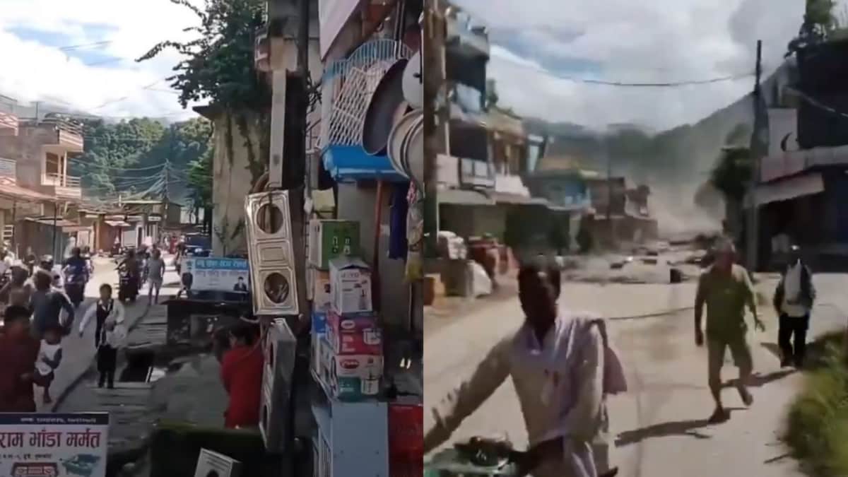
As Residents Flee, Flash Flood Tears Through Nepal’s Trishuli Bazaar
Sikkim Identifies 40 High-Hazard Glacial Lakes, 16 Highest-Risk
Nepal Floods Leave 600 Children Missing, Death Toll 1,282

Two Rescued Alive Nine Days After Nepal Tunnel Disaster
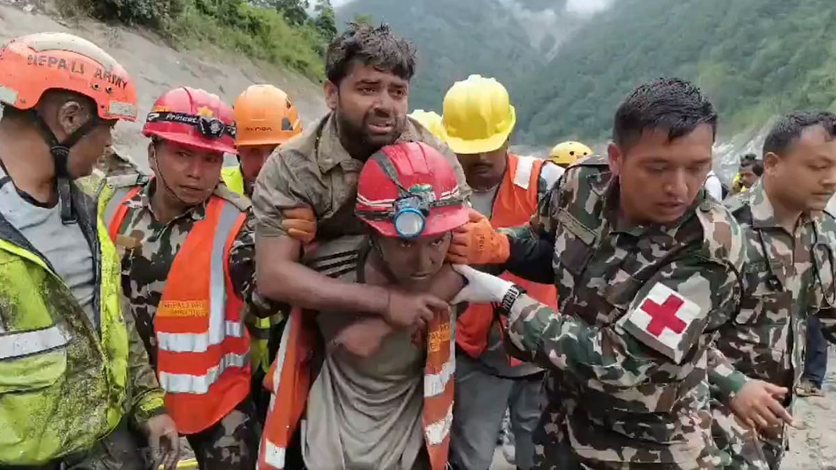
Two Nepal Hydropower Workers Rescued Alive After Floods