

9 hrs ago
Bay Depression To Intensify, Bringing Rain Across South Bengal

A weather system is forming over the Bay of Bengal.
It is expected to become a stronger system called a deep depression.
The system may move toward the coasts of Andhra Pradesh and Odisha.
It is expected to cross the coast between the night of September 23 and early September 24.
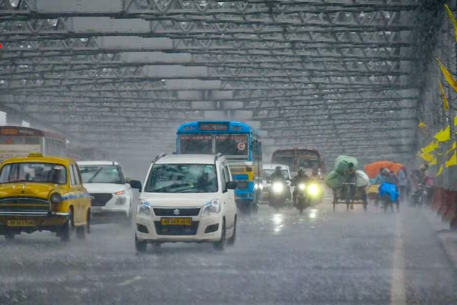
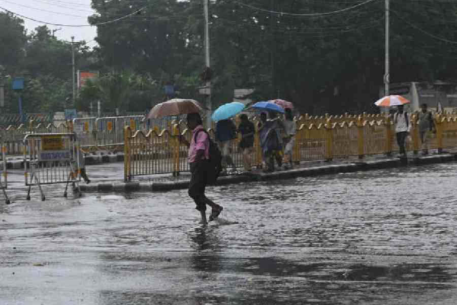
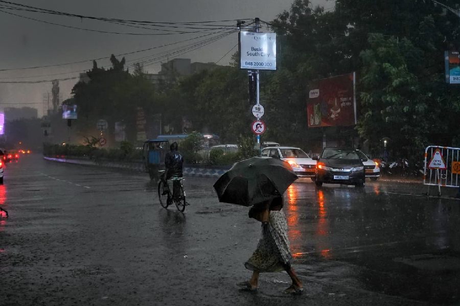
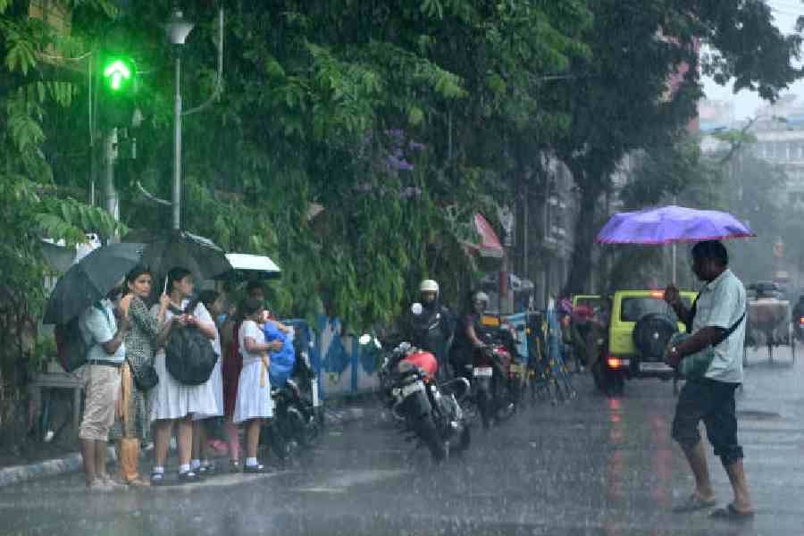
Kolkata and other parts of south Bengal may receive rain and thunderstorms from September 22 to 25.
Kolkata could get more than 50mm of rain on September 24.
Some districts, including the two Midnapore districts, may receive very heavy rain.
Strong winds and rough seas are expected along the West Bengal coast.
People should take shelter during thunderstorms, and fishermen should not go out to sea.

A Bay of Bengal depression is expected to intensify into a deep depression within 12 hours.
The system is forecast to cross between Visakhapatnam and Gopalpur from the night of September 23 to early September 24.
Kolkata and several south Bengal districts may receive rain, thunderstorms and gusty winds from September 22 to 25.
Kolkata could receive more than 50mm of rain on September 24, while East and West Midnapore may get 7–20cm.
Coastal winds may reach 40–50kmph, gusting to 60kmph, and fishermen have been advised to avoid the sea.
- Who
- The India Meteorological Department and regional weather officials issued forecasts and warnings for residents, coastal communities and fishermen.
- What
- A Bay of Bengal depression is expected to strengthen, bringing rain, thunderstorms, heavy rainfall and gusty winds.
- Where
- The system is over the Bay of Bengal and is forecast to cross between Visakhapatnam and Gopalpur; impacts are expected in Kolkata, south Bengal, coastal West Bengal, Andhra Pradesh and Odisha.
- When
- Weather impacts are forecast from September 22 to 25, with the system expected to cross the coast from the night of September 23 to early September 24.
- Why
- The depression is moving west-northwestwards and is expected to intensify before crossing the coast.
Key facts
- System status
- The depression is expected to intensify into a deep depression within 12 hours.
- Forecast track
- The system was reported about 200–220km southeast of Gopalpur on Tuesday and was moving toward the coast.
- Expected crossing
- The system is very likely to cross the north Andhra Pradesh–south Odisha coast between Visakhapatnam and Gopalpur from the night of September 23 to early September 24.
- Kolkata rainfall
- Kolkata may receive more than 50mm of rain on September 24, though the forecast described it as below the 64mm heavy-rain threshold.
- District rainfall
- East and West Midnapore may receive 7–20cm of heavy to very heavy rain; South 24-Parganas and Howrah may also receive heavy rain.
- Wind conditions
- West Bengal coastal winds may reach 40–50kmph, gusting to 60kmph; Kolkata may see gusts of 30–40kmph in some places.
- Safety warnings
- Residents were advised to avoid trees, electric poles and water bodies during thunderstorms, while fishermen were told not to venture into the sea.
Quotes
Regional Meteorological Centre official
Official at the Regional Meteorological Centre in Alipore
“A rainfall below 64mm is considered moderate and beyond that comes under the heavy rains category. On 24 September, even as Kolkata is unlikely to get heavy rains above 64mm, the city is likely to be on the higher end of the moderate rain category, reaching above 50mm.”
 thestatesman.com
“It is expected to intensify into a deep depression by tonight and is very likely to cross the north Andhra Pradesh-South Odisha coasts between Visakhapatnam and Gopalpur as a deep depression during the night of 23 to the early hours of 24 September.”
thestatesman.com
Sources
Related news
Depression Likely Over Bay as South Bengal Rain Continues
Kolkata Faces Yellow, Orange Alerts as Bay System Intensifies

Bay of Bengal Depression Heads Toward Andhra-Odisha Coast
Low-Pressure System Brings Heavy Rain Across Bengal Through September
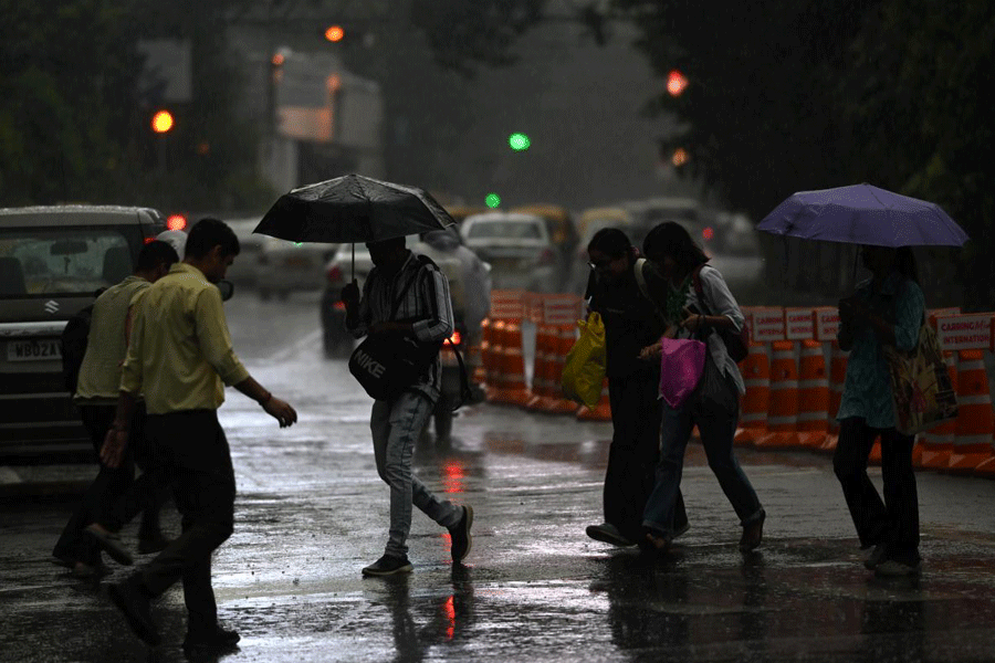
IMD forecasts rain and thunderstorms across south Bengal

West Bengal Braces for Heavy Rain as Bay Depression Strengthens

Seven-Member Odisha Family Killed in Madhya Pradesh Cremated

Indian Villages Keep Traditional Crafts Alive Through Generations

Chhattisgarh CM Says Mahanadi Dispute Will Be Resolved Soon

Puri’s Gundicha Temple Set to Reopen After Renovation
