2 weeks ago
Magnitude 7.7 Earthquake Kills at Least 38 in Indonesia's Flores

Early one morning, a very strong earthquake shook the sea floor near the island of Flores in Indonesia.
Earthquakes happen when huge pieces of the Earth's crust suddenly slide and bump into each other.
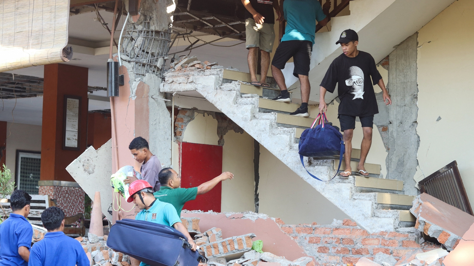
This 7.7-magnitude quake was so powerful that buildings fell down, hillsides slid onto villages, and roads were blocked by mud and rocks.
Frightened people ran to higher ground in case a giant ocean wave, called a tsunami, came rushing in.
The government first warned everyone near the coast, but later checked the sea and said the water was not rising dangerously.
Sadly, at least 38 people lost their lives, and more than a dozen others were hurt.
Rescuers used helicopters and boats to reach people because the region is made up of many islands.
Some villages lost electricity, hospitals moved patients outside, and about 2,000 people went to temporary shelters.
Indonesia sits on the Ring of Fire, a circle of volcanoes and fault lines, so earthquakes are common there, and it will take time for the towns to heal.

A magnitude 7.7 undersea earthquake struck off Indonesia's Flores Island at 5:58 am local time on August 15, 2026, killing at least 38 people.
The quake's epicentre was 68 km north-northwest of Ende city in East Nusa Tenggara province at a depth of 10 km, with several aftershocks following.
A tsunami warning for East Nusa Tenggara, West Nusa Tenggara, South Sulawesi and Southeast Sulawesi was lifted after no significant sea-level changes were detected.
Most deaths were reported in Sikka, Manggarai and East Manggarai regencies, including 16 bodies pulled from a landslide in Reok village, with rescuers still searching for two villagers buried under mud.
Landslides cut off the Trans-Flores Highway, power outages hampered rescues, about 2,000 villagers moved to temporary shelters, and hospital patients were evacuated outdoors.
- Who
- Residents of Indonesia's Flores region, rescue teams, and officials including National Disaster Management Agency chief Suharyanto, East Nusa Tenggara Police Chief Rudi Darmoko, and Maumere Search and Rescue Agency head Fathur Rahman.
- What
- A magnitude 7.7 earthquake struck off Flores Island, collapsing buildings, triggering landslides, cutting off a key highway and killing at least 38 people; a tsunami warning was issued and later lifted.
- Where
- Off the northern coast of Flores Island, East Nusa Tenggara province, Indonesia, with the epicentre 68 km north-northwest of Ende city.
- When
- Saturday, August 15, 2026, at 5:58 am local time.
- Why
- Indonesia lies on the 'Ring of Fire,' an arc of volcanoes and fault lines around the Pacific Basin that makes the archipelago highly prone to earthquakes.
Key facts
- Magnitude
- 7.7
- Date and time
- August 15, 2026, 5:58 am local time
- Epicentre
- 68 km north-northwest of Ende city, East Nusa Tenggara, Indonesia
- Depth
- 10 km
- Confirmed deaths
- At least 38
- Injured
- 13 hospitalised - 2 serious and 11 minor injuries
- Evacuees
- About 2,000 villagers in temporary shelters in Nagekeo regency
- Tsunami warning
- Issued for East Nusa Tenggara, West Nusa Tenggara, South Sulawesi and Southeast Sulawesi; later lifted
Quotes
Indonesian National Disaster Mitigation Agency chief Suharyanto
Chief of Indonesia's National Disaster Mitigation Agency
“Rescuers had recovered at least 38 bodies, mostly from the badly affected regencies of Sikka, Manggarai and East Manggarai. Sixteen bodies were pulled from a landslide in Reok village in Manggarai.”
 freepressjournal.in
“"Thirty‑eight people have been confirmed dead, two were seriously injured, 11 sustained minor injuries, and approximately 2,000 people have evacuated on their own."”
 m.rediff.com
 republicworld.com
Sources

Related news
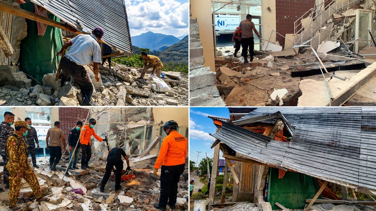
Indonesia earthquake death toll rises to 38, rescuers seek survivors

Indonesia Quake Death Toll Hits 51 as Rescuers Clear Landslides

7.7 Magnitude Earthquake Strikes Indonesia's Flores, Killing at Least 38
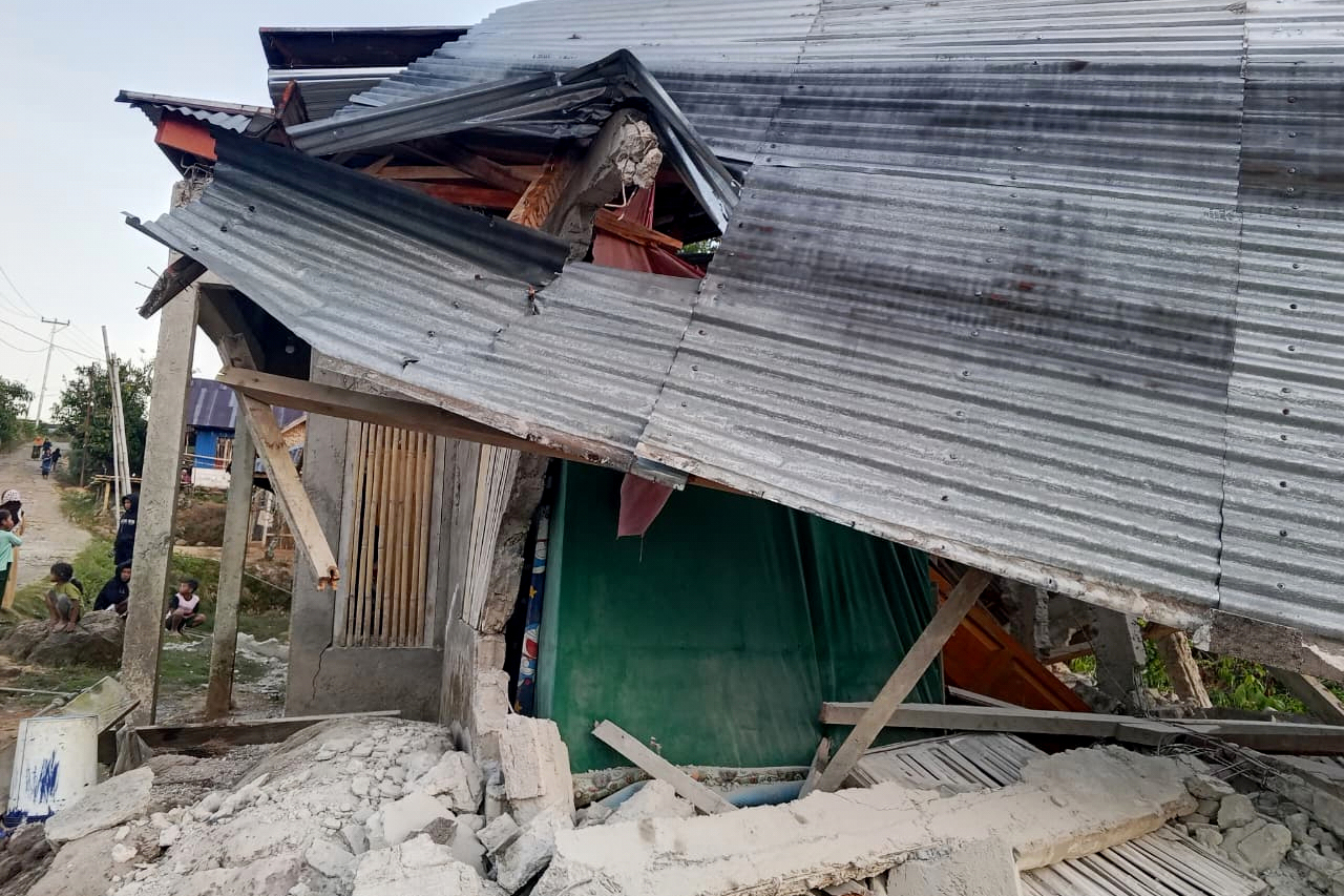
Indonesia Quake Death Toll Rises to 47 on Flores Island
7.7-Magnitude Earthquake Off Flores Kills 2, Triggers Tsunami Warning
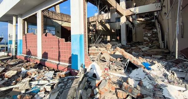
At least 38 dead as 7.7-magnitude earthquake strikes eastern Indonesia

Indonesia Earthquake Highlights Pacific Ring of Fire’s Tectonic Dangers

UPSC Essentials International Relations Subject Quiz Week 175 With Explanations

Powerful Quakes Rock Indonesia, Leaving 40 Dead on Flores Island