2 weeks ago
7.7-Magnitude Earthquake Off Flores Kills 2, Triggers Tsunami Warning
A very big earthquake shook the ground under the sea near an island in Indonesia called Flores.
Scientists measured it as a 7.7-magnitude earthquake, which is very strong.
When big earthquakes happen under the ocean, they can create giant waves called tsunamis.
So the scientists warned people who live near the beach that big waves might come.
They told everyone to quickly go to higher ground, at least two kilometres away from the sea or to a place ten metres high.
Some people were scared, and two people sadly died because of the earthquake.
Patients in hospitals were moved outside to safety, just in case.
After watching the sea for a while, the scientists saw the waves were not dangerous and said the warning was over.
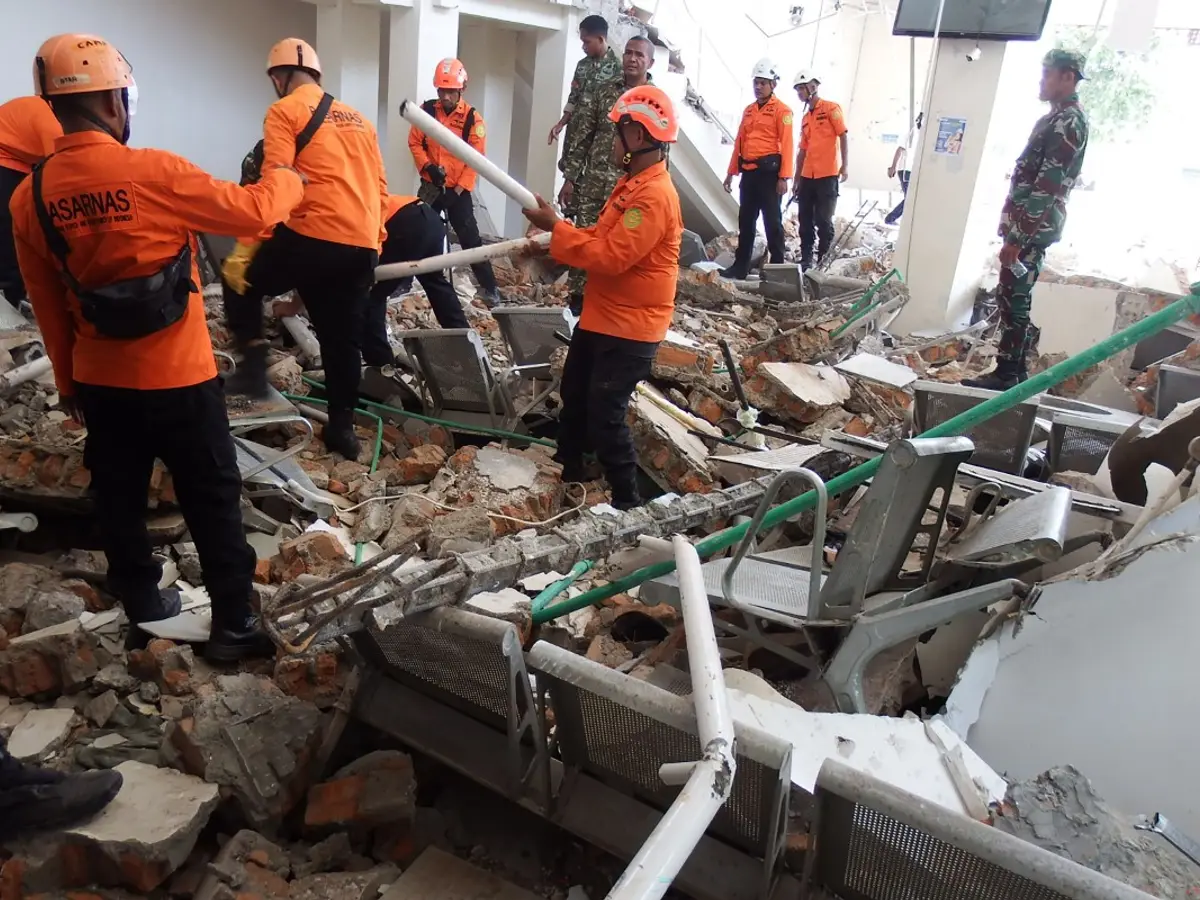
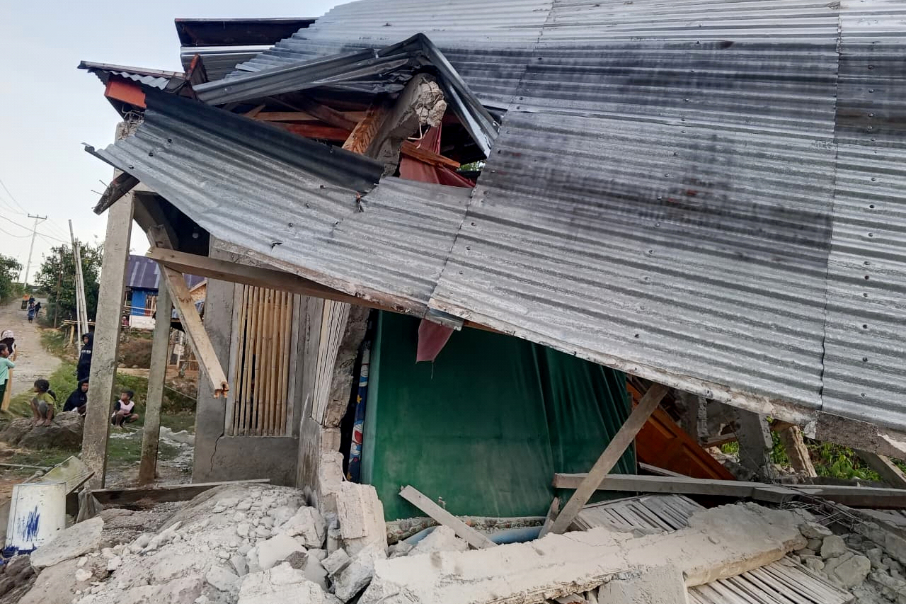
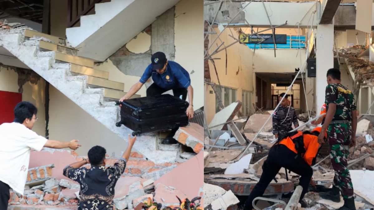
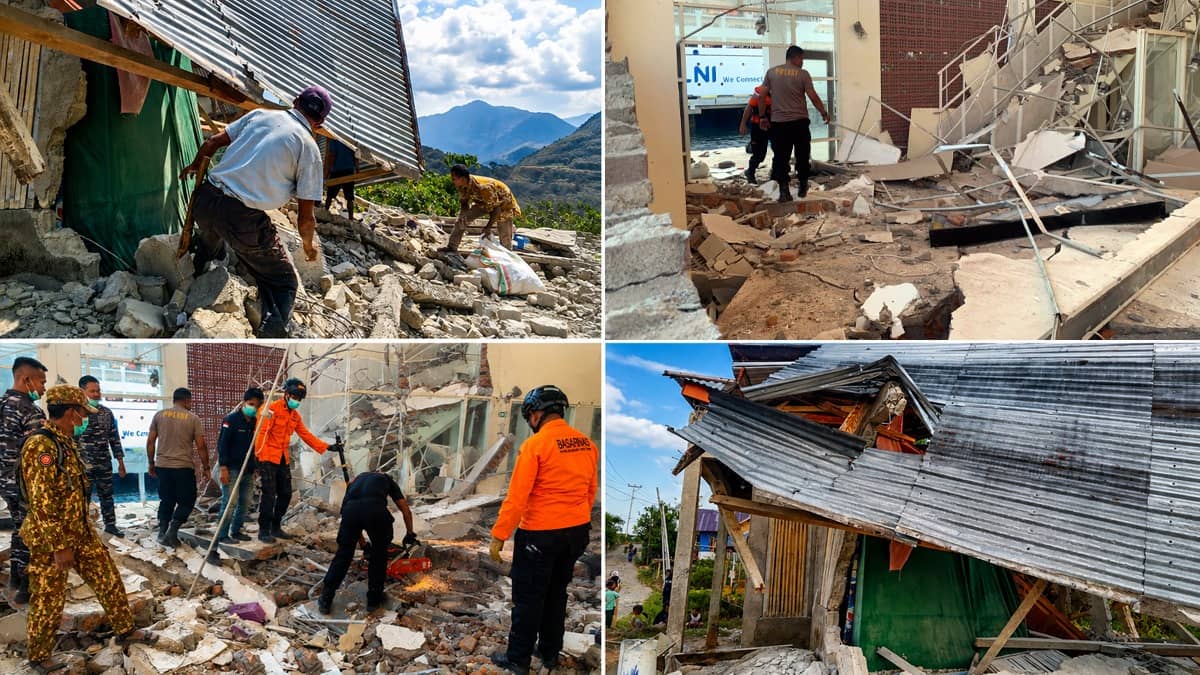
People who felt the shaking said there was a lot of panic, and some walls had cracks.
Helpers and officials are checking the damage to homes and public buildings to make sure everyone is safe.

A 7.7-magnitude shallow earthquake struck off the northern coast of Flores island on Saturday, killing at least two people and triggering a tsunami warning.
The USGS located the quake about 68 kilometres (42 miles) northwest of Ende; strong aftershocks included one of 6.1 magnitude.
The BMKG warning covered East Nusa Tenggara, West Nusa Tenggara, South Sulawesi and Southeast Sulawesi — though one report listed only the first three — with waves of 0.5-3 metres predicted.
BNPB official Abdul Muhari urged coastal residents to self-evacuate immediately, moving more than two kilometres inland or to elevated areas at least 10 metres above sea level.
The tsunami warning was later lifted after monitoring showed no significant sea-level changes, while officials continued assessing damage to homes and public facilities.
- Who
- Coastal residents of Flores island, urged by Indonesian authorities (BNPB and BMKG) to self-evacuate; at least two people died.
- What
- A 7.7-magnitude shallow earthquake struck off the northern coast of Flores, killing at least two people, damaging homes and triggering a tsunami warning that was later lifted.
- Where
- Roughly 68 kilometres (42 miles) northwest of Ende, off the northern coast of Flores island, Indonesia.
- When
- Saturday, August 15.
- Why
- The risk of tsunami waves of up to 3 metres prompted authorities to order immediate self-evacuation; the warning was lifted after no significant sea-level changes were detected.
Key facts
- Magnitude
- 7.7 (shallow earthquake)
- Death toll
- At least 2
- Epicentre
- 68 km (42 miles) northwest of Ende, off the northern coast of Flores
- Tsunami warning area
- East Nusa Tenggara, West Nusa Tenggara, South Sulawesi and Southeast Sulawesi (one report included only the first three)
- Predicted tsunami wave height
- 0.5-3 metres (1.6-9.8 feet)
- Evacuation advice
- Move more than 2 km inland or to ground at least 10 m above sea level
- Tsunami warning status
- Lifted after monitoring showed no significant sea-level changes
- Key agencies
- USGS, BMKG, BNPB
Quotes
Abdul Muhari
BNPB official
“We strongly urge our communities along the northern coast of Flores and in the southern parts, on the southern islands and across the southern region, to carry out self‑evacuation immediately.”
 wionews.com
“Abdul Muhari, an official at the national disaster agency, advised residents to move more than two kilometres inland or to hilly areas more than 10 metres above sea level.”
 businesstoday.in
Sources
Related news

7.7 Magnitude Earthquake Strikes Indonesia's Flores, Killing at Least 38

Magnitude 7.7 Earthquake Kills at Least 38 in Indonesia's Flores
7.7 Magnitude Earthquake Strikes Indonesia's Flores Island, Tsunami Warning Issued

Powerful Quakes Rock Indonesia, Leaving 40 Dead on Flores Island
Indonesia Quake Death Toll Rises to 47 on Flores Island
7.7 Magnitude Earthquake Hits Indonesia; Buildings Collapse, Residents Flee
Indonesia earthquake death toll rises to 38, rescuers seek survivors