3 weeks ago
Monsoon Trough to Pivot, Heavy Rainfall Likely in South Bengal

South Bengal is a region in India, and it may get a lot of rain starting Wednesday.
The rain is part of the monsoon season, when big storms bring water to the area.
The monsoon has a long line of clouds called a trough.
Right now, this trough stretches from Bikaner, through central India, all the way to Digha.
Soon, the trough will turn and move toward the Bay of Bengal, which is a big ocean nearby.
There is also a giant swirl of air spinning above the ocean.
Swirling air helps make clouds that bring rain.
Around August 12, a low-pressure area will form, which usually means even more rain.
Weather experts say people in places like Jhargram and South 24 Parganas should be ready for heavy rain.
It is a good idea to carry an umbrella if you live there.

Parts of south Bengal, especially Jhargram, South 24 Parganas, Paschim and Purba Medinipur districts, are expected to receive heavy rainfall from Wednesday.
The monsoon trough currently extends from Bikaner through central India and Daltonganj to Digha.
The trough is set to pivot southeastwards into the east-central Bay of Bengal.
An upper-air cyclonic circulation persists over the northwest Bay of Bengal and adjoining areas, extending up to 7.6 km above mean sea level.
A low-pressure area is expected to develop over the same region around August 12.
- Who
- The Met Department issued the forecast for residents of south Bengal.
- What
- Heavy rainfall is expected in parts of south Bengal as the monsoon trough pivots southeastwards.
- Where
- South Bengal districts including Jhargram, South 24 Parganas, Paschim and Purba Medinipur, along with the Bay of Bengal region.
- When
- From Wednesday, with a low-pressure area expected to develop around August 12.
- Why
- The monsoon trough is pivoting southeastwards into the east-central Bay of Bengal, influenced by a persistent upper-air cyclonic circulation.
Key facts
- Affected districts
- Jhargram, South 24 Parganas, Paschim and Purba Medinipur
- Expected start
- Wednesday
- Monsoon trough extent
- From Bikaner through central India and Daltonganj to Digha
- Trough movement
- Pivoting southeastwards into the east-central Bay of Bengal
- Upper-air circulation
- Over the northwest Bay of Bengal, extending up to 7.6 km above mean sea level
- Low-pressure area
- Expected to develop around August 12
- Source
- Met Department
Sources
Related news

Low-Pressure System Brings Heavy Rain Across Bengal Through September

Bay System Likely to Bring Heavy Rain Across Bengal
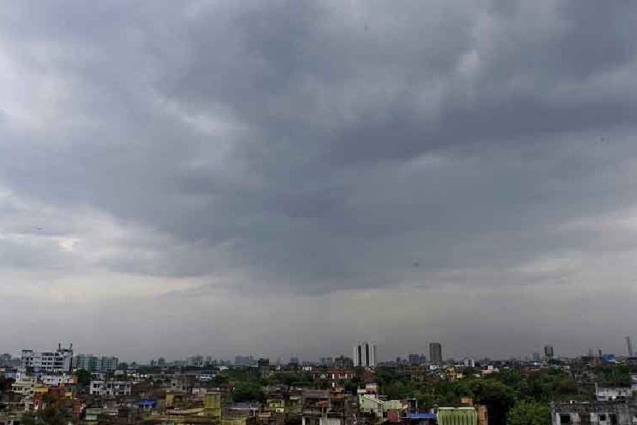
Heavy rain likely as low-pressure forms over Bay of Bengal

Bay of Bengal depression brings heavy rain to south Bengal

Low-Pressure System Brings Another Rainy Week to Bengal

IMD warns heavy rain in southern Bengal till August 18

MP Urges Satellite Phones, GPS for Every Fishing Boat

Youth Booked After Alleged Stone-Throwing Train Reel Goes Viral

Deep Depression Brings Rain to Bengal

Bengal CM aids fishermen families after trawler tragedy