1 week ago
NYC Flood Watch: Heavy Rain, Tornado Risk Threaten Tri-State Area

A cold front is moving toward New York City.
It is bringing rain and thunderstorms.
The rain may become much heavier around 4 p.m.
Heavy rain can quickly cause streets and low areas to flood.
Forecasters say the city could get about 2 to 2.5 inches of rain.
The storm may make the evening trip home harder.
Flights could also be delayed or disrupted.
The headline warns of a tornado risk, although the report mainly describes heavy rain, thunderstorms, and flooding.

A cold front moving toward New York City is driving rain and thunderstorms.
Rain is expected to intensify around 4 p.m. New York time.
Heavy rainfall could create a risk of flash flooding.
New York City could receive roughly 2 to 2.5 inches of rain.
The evening commute and air travel are expected to be affected.
- Who
- New York City residents, commuters, travelers, and National Weather Service meteorologist Brian Ciemnecki are involved in the report.
- What
- A cold front is expected to bring heavy rain and thunderstorms, with a risk of flash flooding and possible tornadoes mentioned in the headline.
- Where
- New York City and the surrounding Tri-State Area.
- When
- Today, with rainfall expected to intensify around 4 p.m. New York time.
- Why
- A cold front moving toward New York City is driving the storm.
Key facts
- Expected rainfall
- Roughly 2 to 2.5 inches in New York City.
- Rain timing
- Light afternoon showers are forecast to intensify around 4 p.m. New York time.
- Main hazards
- Heavy rain, thunderstorms, and flash flooding; the headline also warns of tornado risk.
- Expected disruptions
- The evening commute and air travel may be affected.
- Weather system
- A cold front moving toward New York City.
- Forecast source
- Brian Ciemnecki, a meteorologist with the National Weather Service.
Quotes
Brian Ciemnecki
National Weather Service meteorologist
“He said the city could see roughly 2 to 2.5 inches of rain.”
 timesnownews.com
Sources
Related news

Severe Storms Threaten New York, Northeast, Disrupting Travel
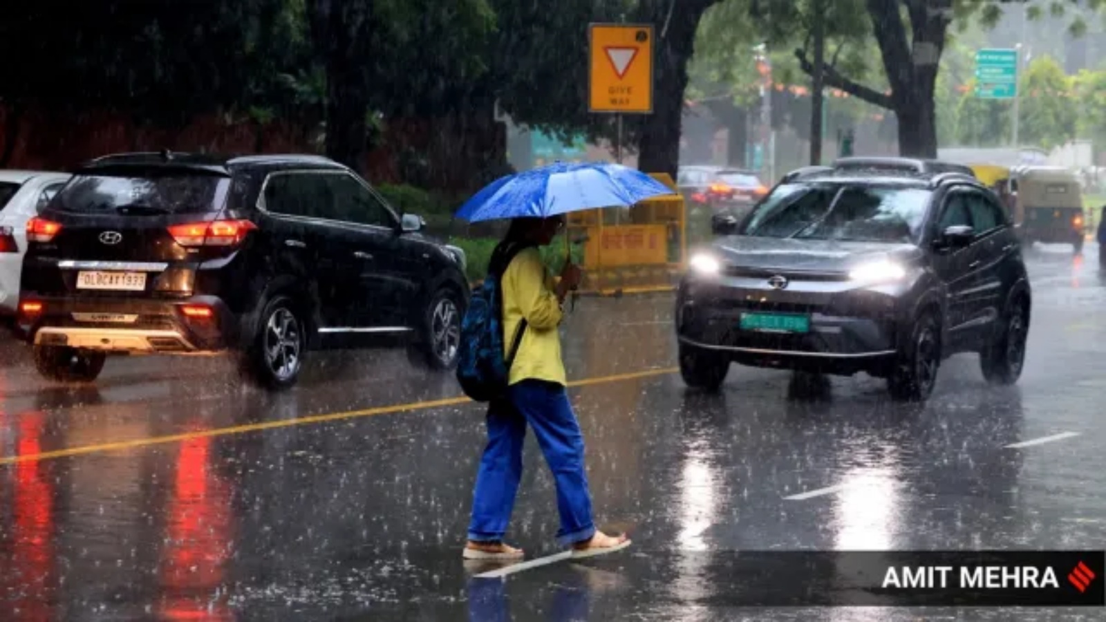
Heavy Rain Lashes Delhi-NCR as Districts Face Red Alert

Delhi-NCR Morning Rain Brings Heavy Shower and Thunderstorm Warning

Heavy Rain Floods Kolkata as Bengal Faces More Downpours
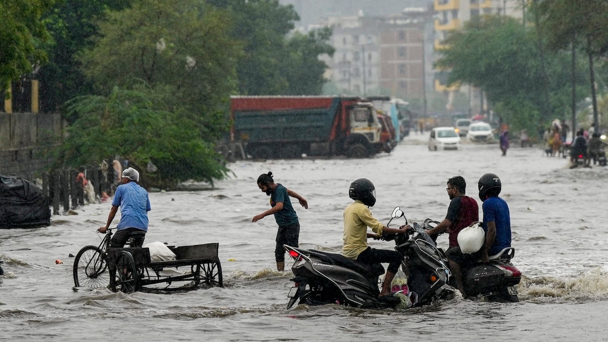
Heavy rain alert for Odisha, Bengal, Mumbai; Delhi light showers

Deadly Grand Canyon Floods Threaten Rescue Efforts Amid Storms
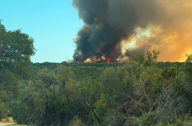
Texas, Nevada Wildfires Force Evacuations Amid Dangerous Conditions

Why Heavy Rain Cancels Flights Beyond Visibility Problems

Tropical Storm Moke Brings More Rain to Flooded Hawaii