2 hrs ago
NGT Orders Fresh Kerwa Dam Full Tank Level Survey
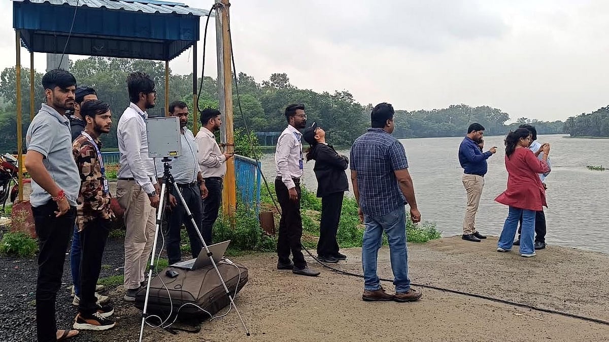
The National Green Tribunal has told officials to restart a survey around Kerwa Dam in Bhopal.
The survey will check the dam's Full Tank Level boundary.
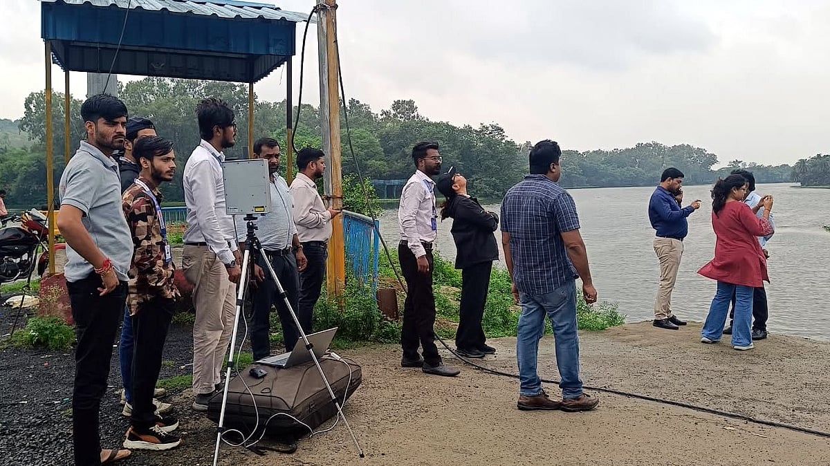
Officials will use satellite pictures, drone images, maps and visits to the site.
They will also check government records and physically verify the land.
An earlier report listed 33 constructions inside the area being examined.
Eighteen were recorded on government land and 15 on private land.
Some submitted records linked properties to public figures and their relatives.
Officials must check whether the old boundary markers are still present and correctly placed.
The committee has three weeks to give the tribunal a final report.

The National Green Tribunal ordered the resumption of the Kerwa Dam Full Tank Level survey in Bhopal.
The survey must include satellite and drone imagery, ground-truthing, physical verification, government records and topographical maps.
A previous report identified 33 constructions in the FTL area: 18 on government land and 15 on private land.
The committee must verify the listed properties, remaining boundary pillars and whether the demarcation matches official records.
The committee has three weeks to submit its final report, with the next hearing scheduled for October 29.
- Who
- The National Green Tribunal's Central Zone Bench, a survey committee and petitioner Rashid Noor Khan.
- What
- The tribunal ordered the resumption and fresh verification of the Kerwa Dam Full Tank Level survey.
- Where
- Kerwa Dam in Bhopal, Madhya Pradesh.
- When
- The hearing took place on Wednesday, the order was issued on Thursday, and the next hearing is scheduled for October 29.
- Why
- To verify the current FTL demarcation, boundary pillars and 33 constructions identified in an earlier report.
Key facts
- Survey deadline
- Three weeks to complete the exercise and submit a final report.
- Earlier constructions identified
- 33 total: 18 on government land and 15 on private land.
- Reported submerged area
- Approximately 462.150 hectares.
- Earlier demarcation
- The boundary was marked using 1,080 concrete blocks and pillars.
- Required evidence
- Satellite imagery, drone surveys, ground-truthing, government records and topographical maps.
- Additional assessment
- The dam's height and the buffer zone will be considered in determining the FTL.
- Next hearing
- October 29.
Sources
Related news

Encroachments and Altered Water Flow Delay Kerwa Wetland Survey
Survey Finds Roads, Restaurants Near Kaliasot Wetland Boundary in Bhopal
Bhoj Wetland Survey Faces Missing FTL Markers and Encroachments
Drone Survey Begins to Redraw Bhopal Bhoj Wetland Boundaries
NGT Orders Bhopal Lake Sewage Mapping, Zero Untreated Discharge Plan
NGT Orders Encroachment Removal Measures Around Shahpura Lake
ED Files ₹66 Crore Fraud Complaint Against Ruchi Global
Indore’s Historic Residency Kothi To Receive Luxury Suite Makeover
Gwalior High Court Remands OBC Certificate Case for Fresh Review
Indore Seals 15 Buildings Over Fire Safety Violations