

6 hrs ago
Bhoj Wetland Survey Faces Missing FTL Markers and Encroachments
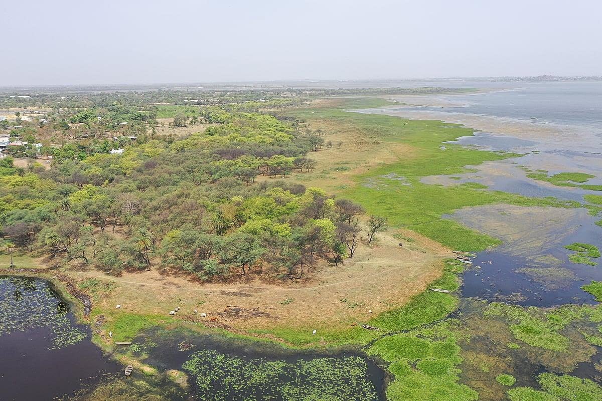
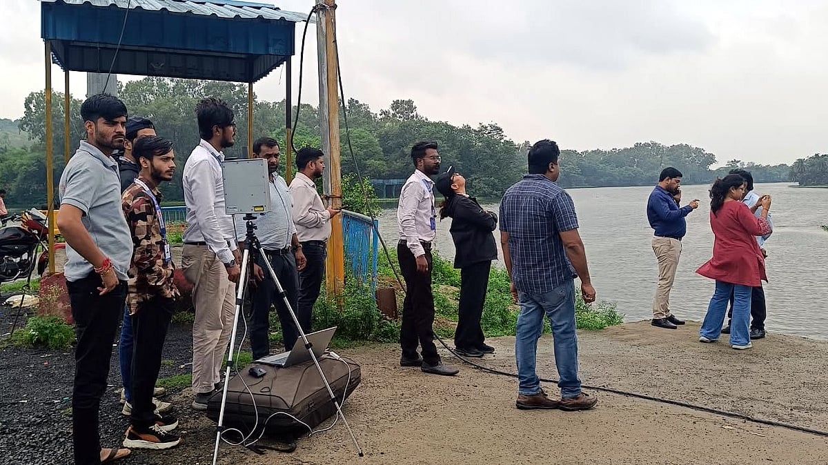
Officials are checking the real boundary of Bhoj Wetland using drones and people on the ground.
The survey was ordered by the National Green Tribunal.
On Sunday, the second day of the survey, workers searched for old boundary markers.
Some markers could not be found, especially around Khanugaon.
The team walked through muddy and flooded areas to look for them.
If markers remain missing, officials will use government records to find their locations.
Drone pictures are also helping identify where the water reaches.
About seven kilometres of the boundary had been measured on Saturday.
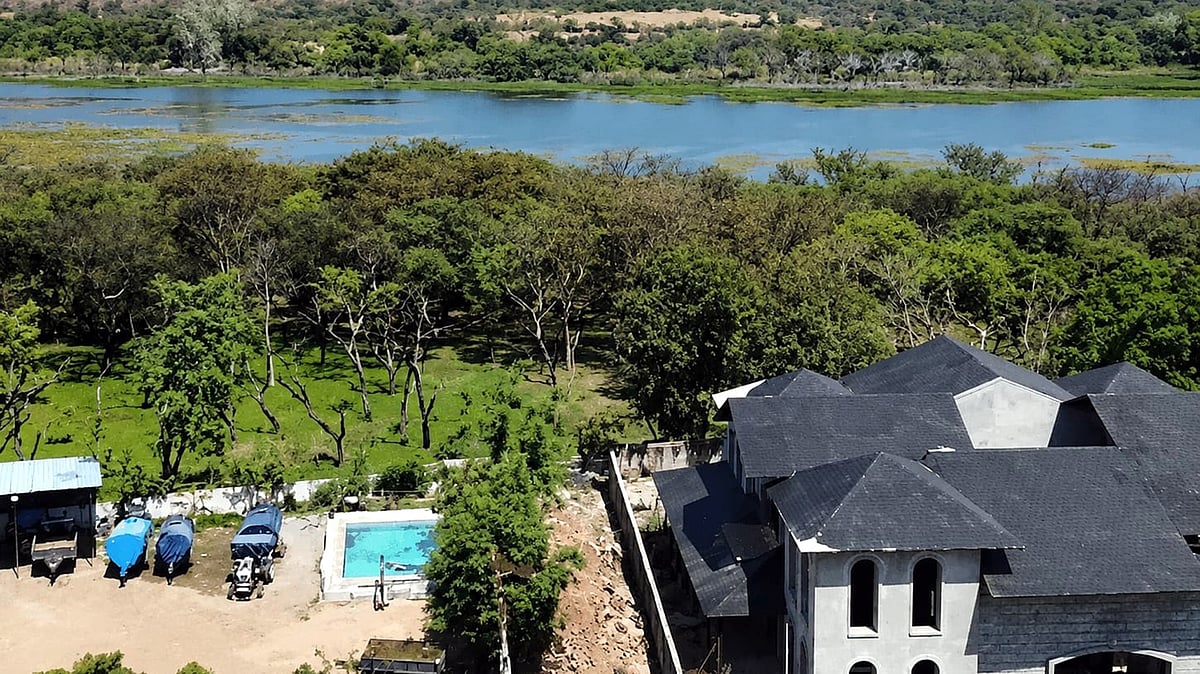
Officials also removed some permanent structures from illegal colonies in Bairagarh Kalan.

The NGT-directed survey entered its second day on Sunday to verify Bhoj Wetland’s actual Full Tank Level.
Survey teams struggled to locate old FTL and green-belt markers, including in Khanugaon, and searched through mud and water.
Officials said missing markers would be cross-checked against official records, while drone imagery was used to identify the water spread.
About seven kilometres of the lake boundary were measured on Saturday; Sunday’s report is expected Monday.
Authorities demolished permanent roads and gates in three illegal colonies at Bairagarh Kalan, while Bairagarh remains to be surveyed.
- Who
- A ground-to-air survey team, government officials, revenue inspectors, and the Bairagarh SDM administration.
- What
- A drone and ground survey to verify Bhoj Wetland’s Full Tank Level and boundary, alongside demolition of structures in illegal colonies.
- Where
- Bhoj Wetland areas including Khanugaon, Kohefiza, Halalpura, Bairagarh Kalan, and locations near Bhadbhada.
- When
- The second survey day was Sunday; about seven kilometres had been measured on Saturday, with Sunday’s report expected Monday.
- Why
- The survey was directed by the National Green Tribunal to verify the wetland’s actual Full Tank Level and related boundaries.
Key facts
- Survey status
- The NGT-directed survey continued for a second consecutive day on Sunday.
- Boundary measured
- Around seven kilometres were measured during Saturday’s survey.
- Main challenge
- Old Full Tank Level and green-belt markers were missing or could not be located at several spots.
- Verification method
- Missing marker locations will be cross-checked with official records.
- Drone launch point
- Bhadbhada Chowk was used after ATC permission was not obtained for Kohefiza.
- Illegal structures
- Permanent roads and gates were demolished in three illegal colonies at Bairagarh Kalan.
- Additional findings
- Water hyacinth, aquatic vegetation, and water flowing over retaining walls were observed at several locations.
Sources
Related news
Drone Survey Begins to Redraw Bhopal Bhoj Wetland Boundaries
Bhopal’s Bhoj Wetland Set for Seventh Boundary Demarcation

Bhopal Collector Priyank Mishra Inspects Waterlogged Banganga, Orders Drain Cleaning
NGT Orders Bhopal Lake Sewage Mapping, Zero Untreated Discharge Plan
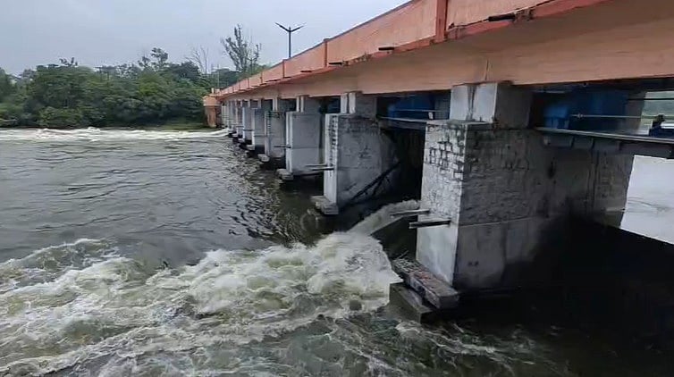
Bhadbhada Dam Opens Gates as Heavy Rain Fills Bhopal Lake

Chennai Begins Drone Survey of 44 Canals Ahead of Monsoon
