

1 hr ago
Survey Finds Roads, Restaurants Near Kaliasot Wetland Boundary in Bhopal
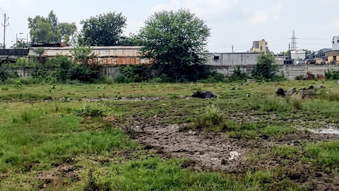
A team is checking the real boundaries of wetlands around Bhopal.
On the fifth day, it inspected the Kaliasot area.
The team found a road, restaurants and other buildings near or inside the wetland boundary.
It also saw new boundary markers that may be connected to land plotting.
In one village, water reached beyond some older Full Tank Level markers.
These findings could help officials compare the land with government records.
The team could not finish checking Kerwa Dam because its water level was too low and construction was releasing water.
Officials will send a report about Kerwa to the National Green Tribunal.

Day five of the Bhoj Wetland survey found roads, restaurants and other structures within or near the Kaliasot water-spread area.
The team observed boundary markers allegedly being installed for land plotting along the Kaliasot banks.
At Khudaganj village, water extended beyond several existing Full Tank Level markers.
Ground-truthing at Kerwa Dam was halted because the reservoir had not reached its Full Tank Level and bridge construction was causing water outflow.
Officials said Kaliasot ground-truthing was complete, while a report on Kerwa’s boundary and technical aspects will be submitted to the National Green Tribunal on September 15.
- Who
- An National Green Tribunal-constituted special team, with officials from the Water Resources Department and Madhya Pradesh Pollution Control Board, conducted the inspection.
- What
- The team surveyed the Bhoj Wetland’s boundaries, Full Tank Level markers and natural water flow, finding roads, restaurants, commercial structures and possible plotting markers near Kaliasot.
- Where
- The inspection covered the Kaliasot area near WALMI and Khudaganj village in Bhopal; Kerwa Dam could not be surveyed.
- When
- The findings were reported on the fifth day of ground-truthing; a Kerwa report is due on September 15.
- Why
- The survey aims to scientifically and legally verify wetland boundaries, water levels, Full Tank Levels and natural drainage.
Environmental Verification Concerns
Officials’ Procedural Position
Wetland and drainage protection
Environmental Verification Concerns
Petitioner Rashid Noor Khan said the survey should establish boundaries, actual water levels, Full Tank Levels and natural water flow scientifically and legally to prevent exploitation of technical loopholes.
Officials’ Procedural Position
Officials documented the structures and markers for comparison with government records and said further action at Kerwa would follow the National Green Tribunal’s directions.
Kerwa survey timing
Environmental Verification Concerns
The unresolved Kerwa boundary requires further verification because the reservoir has not reached its Full Tank Level.
Officials’ Procedural Position
Officials said bridge construction is causing continuous water outflow, making scientific verification impossible for now, and that a report will be submitted before further work.
Key facts
- Survey stage
- Day five of ground-truthing for the Bhoj Wetland
- Main area inspected
- Kaliasot water-spread and catchment area
- Structures observed
- A road, restaurants and other commercial or permanent structures
- Boundary concern
- Markers were reportedly being installed for land plotting along the Kaliasot banks
- Village finding
- Water extended beyond several existing Full Tank Level markers at Khudaganj village
- Kerwa status
- Ground-truthing was halted because the reservoir had not reached its Full Tank Level
- Next report
- A report on Kerwa’s Full Tank Level and technical aspects will be submitted to the National Green Tribunal on September 15
Quotes
Rashid Noor Khan
Petitioner involved in the Bhoj Wetland matter
“Ground-truthing should establish old markers, actual water levels, FTL and natural water flow scientifically and legally to prevent exploitation of technical loopholes”
 freepressjournal.in
Sources
Related news
Bhoj Wetland Survey Faces Missing FTL Markers and Encroachments
Bhopal’s Bhoj Wetland Set for Seventh Boundary Demarcation
Drone Survey Begins to Redraw Bhopal Bhoj Wetland Boundaries
NGT Orders Encroachment Removal Measures Around Shahpura Lake

NGT Reviews Petrol Pump Construction Over Bhopal Drain
NGT Orders Bhopal Lake Sewage Mapping, Zero Untreated Discharge Plan
