7 months ago
Kashmir Faces Intense Cold and Wet Weather

Kashmir is very cold right now, with places like Sonamarg reaching almost -9°C.
This is the coldest part of winter called 'Chilla-i-Kalan', which lasts for 40 days.
The weather department says there will be a lot of rain and snow from January 22 to 28 because of two big weather systems called Western Disturbances.
These systems will bring heavy snow to many places, including Gulmarg and Pahalgam.
People are being told to be careful, especially in areas where there might be avalanches or landslides.
Travelers should plan their trips carefully because the weather might make roads and flights difficult.

Kashmir is experiencing intense cold with Sonamarg recording -8.9°C, the lowest in the valley.
Srinagar recorded a low of -4.7°C, while other regions like Shopian (-6.7°C) and Pahalgam (-6°C) also saw significant drops.
The Kashmir Valley is currently in 'Chilla-i-Kalan', the 40-day harshest winter period, which ends on January 30.
Two Western Disturbances are expected to bring widespread rain and snowfall from January 22 to 28, with peak activity on January 23 and 27.
Authorities have warned of potential disruptions to transport and advised residents and travelers to be cautious.
- Who
- Residents, tourists, and authorities in Kashmir
- What
- Intense cold conditions and widespread rain and snowfall forecast
- Where
- Kashmir Valley, including Srinagar, Sonamarg, Gulmarg, and other regions
- When
- During 'Chilla-i-Kalan' (December 21 - January 30) and January 22 to 28
- Why
- Due to the 40-day harshest winter period and Western Disturbances
Residents and Authorities
Tourists and Travelers
Weather Impact
Residents and Authorities
Residents are advised to stay cautious and avoid avalanche-prone areas.
Tourists and Travelers
Tourists and travelers are advised to plan their journeys carefully and stay updated on weather and road conditions.
Key facts
- Coldest Place
- Sonamarg (-8.9°C)
- Srinagar Low
- -4.7°C
- Shopian Low
- -6.7°C
- Pahalgam Low
- -6°C
- Gulmarg Low
- -5.6°C
- Qazigund Low
- -4.8°C
- Kokernag Low
- -2.2°C
- Kupwara Low
- -4.8°C
- First Western Disturbance
- January 22 to 24
- Second Western Disturbance
- January 26 to 28
- Peak Activity Days
- January 23 and 27
Timeline
Kashmir shivers as temperatures plummet below freezing.
Then, a western disturbance threatens heavy snow.
Forecast warns: Two such disturbances loom from Jan 22-28.
Expect heavy snowfall as they collide.
Severe cold persists, bracing for snow.
Quotes
Faizan Arif
Weather Analyst and Forecaster
“As far as the implications are concerned, south Kashmir has been the worst affected. This will have a direct impact on glaciers and water resources. The south Kashmir districts have recorded a rainfall deficit of around 90 per cent, which effectively means almost no precipitation, making the figures extremely alarming. Water resources are already under stress. Over the past five to six winters, the trend clearly shows a continuous decline in winter precipitation, leading to falling water levels. Even the Jhelum is currently at a very low level. This will impact agriculture and horticulture, and if the situation does not improve, the consequences could be severe, resulting in significant losses to the agriculture and horticulture sectors.”
 wionews.com
“Jammu and Kashmir is facing a rainfall deficit of 85 per cent from November 2025 to January 2026, with some areas of south Kashmir recording a shortfall of up to 90 per cent. Similar conditions prevail in Jammu and Ladakh as well. In January 2026 alone, there has been virtually no rainfall in the first 17 days, pushing the deficit to 97 per cent. The situation at present is extremely alarming.”
wionews.com
Sources

IMD Update: Heavy snow & rain to hit J&K, Punjab, Himachal, UP, Delhi
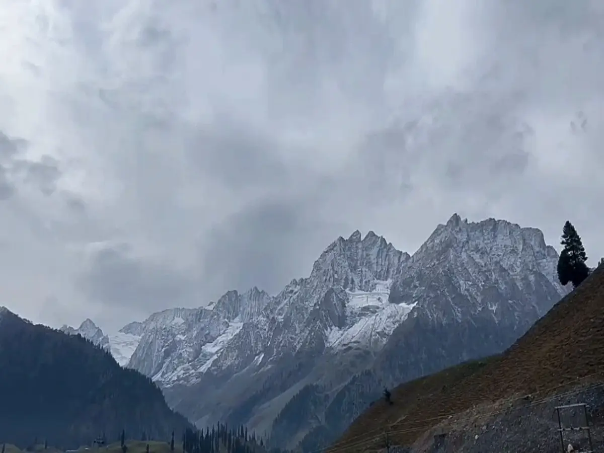
Jammu and Kashmir faces severe rainfall deficit of 85%, south Kashmir worst hit
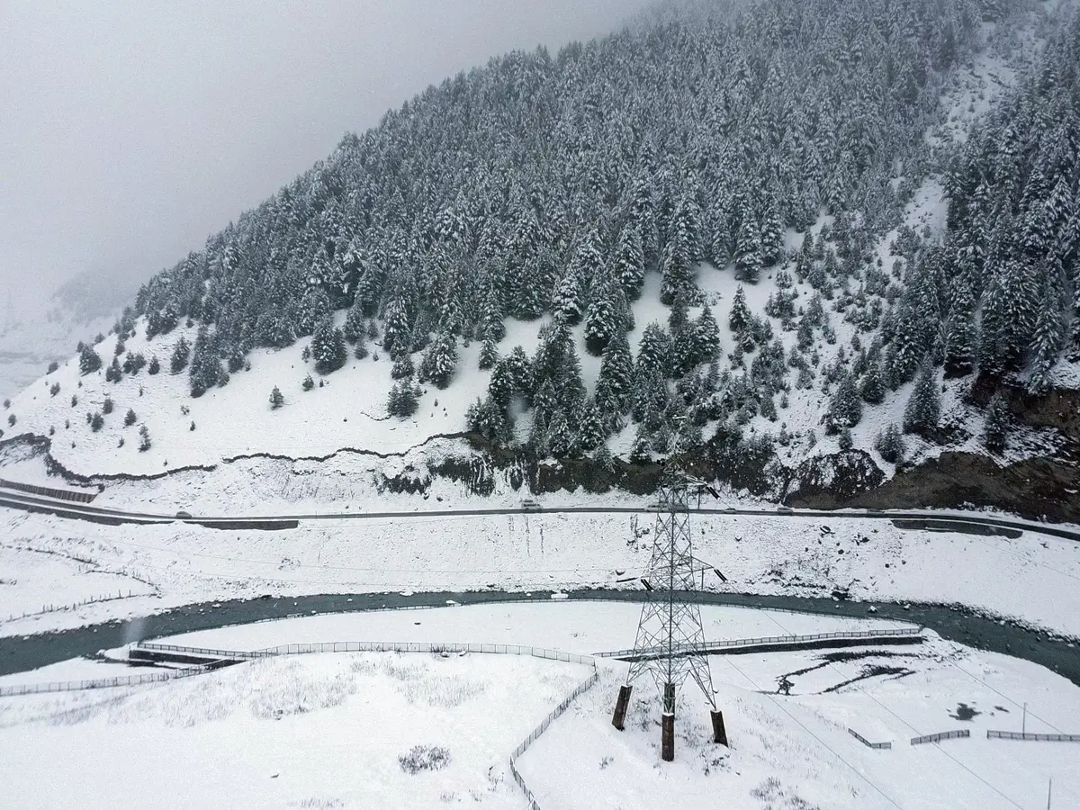
Western disturbances to bring widespread snowfall across J&K from January 22 to 28
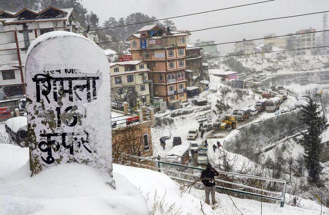
Light snowfall in Himachal's higher hills; heavy snowfall likely from Jan 22
Cold conditions intensify in Kashmir; IMD forecasts spells of wet weather
Related news

Joint Forces Bust Shopian Terror Hideout, Recover Arms Cache
Kashmiris Experience Climate Change, But Climate Literacy Lags

Eight Suspected Terror Associates Arrested in Three Kashmir Operations

J-K Police, Army and CRPF Apprehend Six Terror Associates in Shopian

Kashmir Apple Growers Count Losses as Highway Closures Strand Trucks