3 hrs ago
Supreme Court Panel Seeks More Time to Define Aravallis
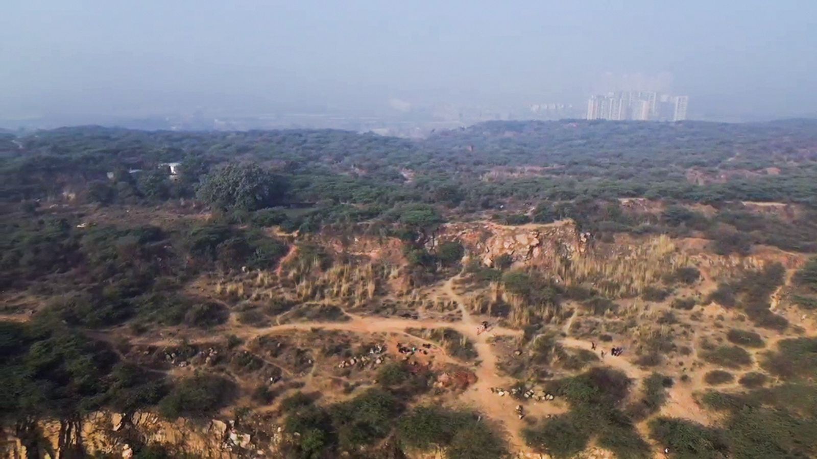
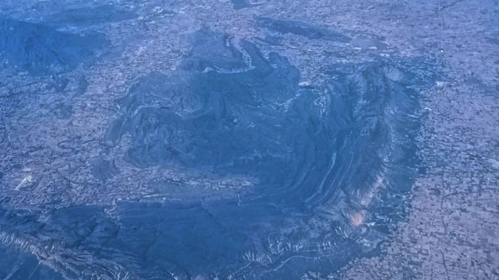
The Aravalli hills are an important connected natural landscape.
A Supreme Court-appointed panel says they cannot be mapped properly by measuring only the height of hills.
It says forests, water sources, wildlife, villages, cultural sites and people’s livelihoods must also be considered.
The panel wants six more months to study the area carefully.
It is comparing a newer 100-metre height rule with an older mapping method.
The panel has tested some methods in Alwar, Ajmer and Udaipur.
Experts will check the results before large area estimates are released.
Many people and organisations have sent opinions about mining, farming, conservation and local livelihoods.
The final plan is expected to recommend how different parts of the Aravallis should be protected and managed.

The Supreme Court-appointed High-Powered Committee says the Aravallis cannot be scientifically defined using one terrain-based measure.
The panel has sought a six-month extension, until February 28, 2027, to complete its assessment.
It proposes an Aravalli Ecosystem Landscape framework covering hills, forests, water systems, biodiversity, cultural sites and livelihoods.
The committee is comparing the 2025 100-metre method with a Forest Survey of India approach developed in 2010.
About 680 submissions raised concerns involving mining, quarrying, water systems, public health, biodiversity and community interests.
- Who
- A Supreme Court-appointed High-Powered Committee, along with government agencies, experts, local communities and other stakeholders.
- What
- The committee has sought an extension to develop a scientifically validated definition and management framework for the Aravallis.
- Where
- Across the Aravalli landscape, with initial comparative work in Alwar, Ajmer and Udaipur.
- When
- The compliance report was submitted on August 31; the committee seeks an extension until February 28, 2027. It was constituted in May 2026.
- Why
- The committee says a single terrain-based test could produce unreliable estimates and major consequences for conservation, regulation, mining and livelihoods.
Broader ecosystem approach
Terrain-based definition and development concerns
How the Aravallis should be defined
Broader ecosystem approach
The High-Powered Committee says the range should be assessed as an interconnected ecological system including hills, forests, water systems, biodiversity, cultural areas and livelihoods.
Terrain-based definition and development concerns
The October 2025 committee recommended a 100-metre height-based definition, which the High-Powered Committee is comparing with a Forest Survey of India method from 2010.
Use of area estimates
Broader ecosystem approach
The High-Powered Committee says numerical estimates should not be released until datasets, methods and analytical parameters are independently tested and validated.
Terrain-based definition and development concerns
The earlier 100-metre approach has been criticised because the Forest Survey of India warned it could exclude nearly 90 per cent of Aravalli hills, while the committee says changing datasets or parameters can alter the estimates.
Land use and livelihoods
Broader ecosystem approach
Conservation-focused submissions highlighted damage from mining, quarrying and sand mining to drainage, water quality, public health and biodiversity.
Terrain-based definition and development concerns
Farmers, pastoralists, mining-sector stakeholders and other communities raised concerns about agriculture, settlements, mining-dependent livelihoods and community interests.
Key facts
- Proposed framework
- Aravalli Ecosystem Landscape
- Extension requested
- Six months, until February 28, 2027
- Assessment areas
- Alwar, Ajmer and Udaipur were used for the initial comparison
- Mapping data
- The committee proposes using the Copernicus 30-metre digital elevation model and, in selected areas, CartoDEM data
- Stakeholder submissions
- About 680 electronic and physical representations had been received by August 26
- Earlier benchmark
- A 100-metre height threshold recommended in the October 2025 report
- Validation proposed
- Further scrutiny by institutions including the National Remote Sensing Centre and the Indian Space Research Organisation
Sources
Related news
Aravalli Panel Seeks Six-Month Extension for Final Report
Critics Urge More Time for Aravalli Panel Consultations
Civil Society Urges Aravalli Panel to Widen Consultations, Extend Deadline
Aravalli Mapping Dispute Highlights India’s Poor Environmental Performance

RSS-affiliate raises concerns over Aravalli panel's consultation process
Rajasthan: SC panel to study Aravalli landscape from Aug 7

Delhi Court Frames Rape, Murder, Robbery Charges in IRS Case

Nine-Year-Old Safely Rescued After Five-Hour Alwar Borewell Ordeal

Comprehensive Infant and Child Health Pilot to Launch in Rajasthan
BJP Deliberations Continue as Rajasthan Poll Deadline Nears