5 days ago
Trump Again Labels Strait of Hormuz as US Territory

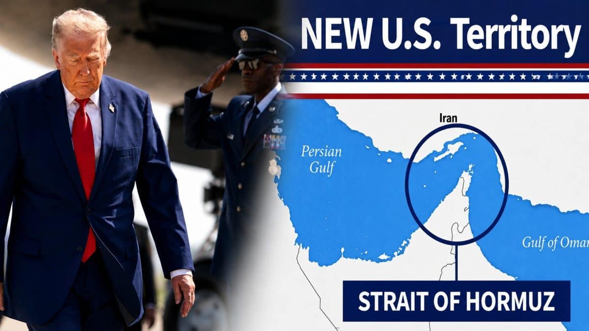
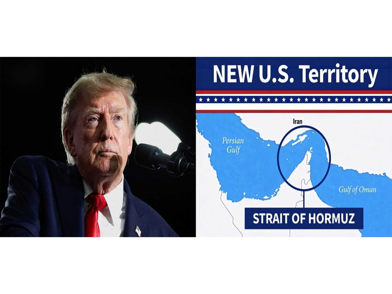
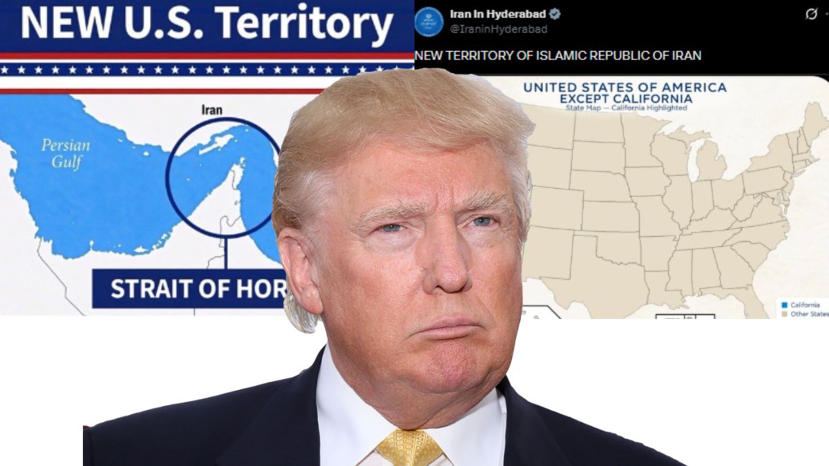
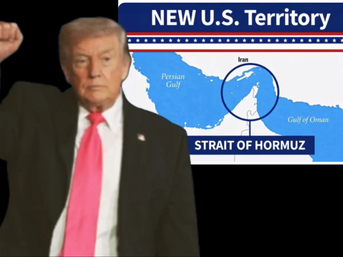
Donald Trump shared a map about the Strait of Hormuz.
The map called the strait “NEW US Territory.”
The Strait of Hormuz is described as strategically important.
Iran said the waterway was closed.
Iran also said it would stay closed unless the United States changed its approach.
Trump had shared a similar map on August 18.
That happened when a 60-day period for the United States and Iran to finish a peace deal ended.
The two sides therefore have very different positions about the strait and negotiations.

Donald Trump shared an image describing the Strait of Hormuz as “NEW US Territory.”
The image was shared last week on Trump’s social media platform.
Iran maintained that the waterway was closed and would remain closed.
Iran said reopening depended on Washington changing its approach.
Trump had first shared a similar map on August 18, as a 60-day U.S.-Iran negotiating period expired.
- Who
- Donald Trump and Iran are the principal parties mentioned.
- What
- Trump shared an image labeling the Strait of Hormuz as “NEW US Territory,” while Iran maintained that the waterway was closed.
- Where
- The Strait of Hormuz.
- When
- The latest image was shared last week; Trump first shared a similar map on August 18.
- Why
- Iran said the waterway would remain closed unless Washington changed its approach; the articles do not specify Trump’s stated reason for sharing the image.
Iran’s Position
Trump’s Position
Status of the strait
Iran’s Position
Iran maintained that the Strait of Hormuz was closed.
Trump’s Position
Trump shared an image labeling the strait “NEW US Territory.”
Conditions for reopening
Iran’s Position
Iran said the waterway would remain closed unless Washington changed its approach.
Trump’s Position
Trump’s image and the article do not state conditions for reopening or explain his reason for sharing it.
Negotiations
Iran’s Position
Iran was part of a 60-day negotiating period with Washington to finalize a peace deal, which had expired.
Trump’s Position
Trump shared a similar map when that negotiating period expired, but the article does not give a detailed U.S. negotiating position.
Key facts
- Latest development
- Trump shared an image describing the Strait of Hormuz as “NEW US Territory.”
- Location
- Strait of Hormuz
- Iran’s position
- Iran maintained that the waterway was closed and would remain closed unless Washington changed its approach.
- Earlier map
- Trump first shared a similar map on August 18.
- Negotiations
- The earlier map appeared as a 60-day negotiating period between Washington and Tehran to finalize a peace deal expired.
- Strategic importance
- The Strait of Hormuz was described as strategically vital.
Sources
Related news
Trump Labels Strait of Hormuz 'New US Territory' in Post
Trump Again Shares Hormuz Map Labeling Strait New US Territory
Trump Says He'll Soon Declare Strait Of Hormuz US Territory
Iran Rejects Trump’s Claim to Control Strait of Hormuz

Trump Says He May Declare Strait Of Hormuz US Territory
Trump Renews Hormuz Territory Claim as Iran Condemns U.S.

Chevron Plans $7 Billion Venezuela Expansion Amid U.S. Oil Push

Saudi Arabia Says Iranian Tanker Attack Killed Two Sailors
U.S.-Iran Exchange Escalates Across Middle East, Markets Slide
Trump Aides Seek Quiet Iran War Before Midterm Elections
US Warns Middle East Travelers Amid Escalating Iran-Linked Tensions