3 weeks ago
India's 80th Independence Day: How the country's map changed
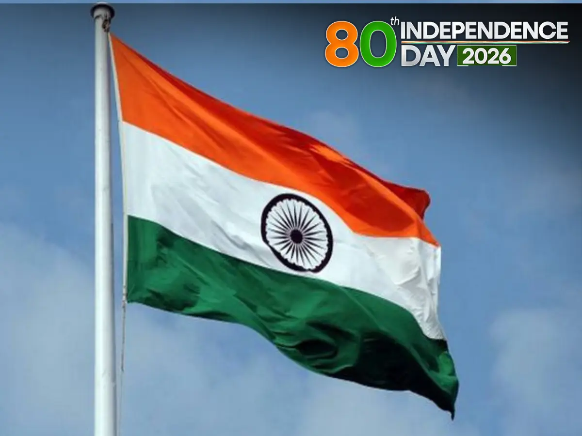
India is getting ready to celebrate its 80th birthday as an independent country on August 15, 2026.
In 1947, India became free from British rule.
Back then, India was made up of many pieces, including more than 500 small kingdoms called princely states.
Over time, India's map changed many times.
Some states were split into smaller ones, some were joined together, and some got new names.
In 1956, the biggest redrawing happened with a rule called the States Reorganisation Act.
Over the years, new states were created, including Andhra, Maharashtra, Gujarat, Nagaland, Goa, Sikkim and Telangana.
In 2019, Jammu and Kashmir was changed into two Union territories.
So the India we see today looks very different from the India that became independent in 1947.

India will celebrate its 80th Independence Day on 15 August 2026, eight decades after gaining freedom from British rule in 1947.
Since 1947, India's political map has been reshaped by state divisions, mergers, renamings and the integration of more than 500 princely states.
The States Reorganisation Act, 1956 was the biggest single overhaul of India's internal boundaries.
Language, regional identity, administration, security and autonomy demands drove reorganisations from Andhra State in 1953 to Telangana in 2014.
The latest major change came in 2019, when the erstwhile state of Jammu and Kashmir was reorganised into the Union territories of Jammu and Kashmir and Ladakh.
- Who
- India and its Parliament, which passed the reorganisation acts that reshaped the country's map from 1953 to 2019.
- What
- Commemoration of the 80th Independence Day and a look at how India's political map evolved through state and Union territory reorganisations.
- Where
- India.
- When
- August 15, 2026 for the 80th Independence Day; the map changes described span 1947 to 2019.
- Why
- To mark eight decades since independence and to trace how internal boundaries changed due to language, regional identity, administration, security and demands for political autonomy.
Key facts
- Independence Day
- August 15, 2026 — 80th anniversary
- Independence from
- British rule, 1947
- Princely states at Independence
- More than 500
- Biggest map overhaul
- States Reorganisation Act, 1956
- States created in 2000
- Jharkhand, Chhattisgarh, Uttarakhand
- Newest state created
- Telangana, 2014
- Latest major change
- Jammu and Kashmir and Ladakh as Union territories, 2019
- Republic established
- January 26, 1950
Sources
Related news
Four princely states that initially refused to join India

Goa: The Only Indian State Never Under British Rule

Modi Marks Seven Years of Article 370 Abrogation, Hails Transformation

Book traces political journey of Andhra Pradesh and Telangana

India Marks 80th Independence Day, Reliving The Statesman's 1947 Edition
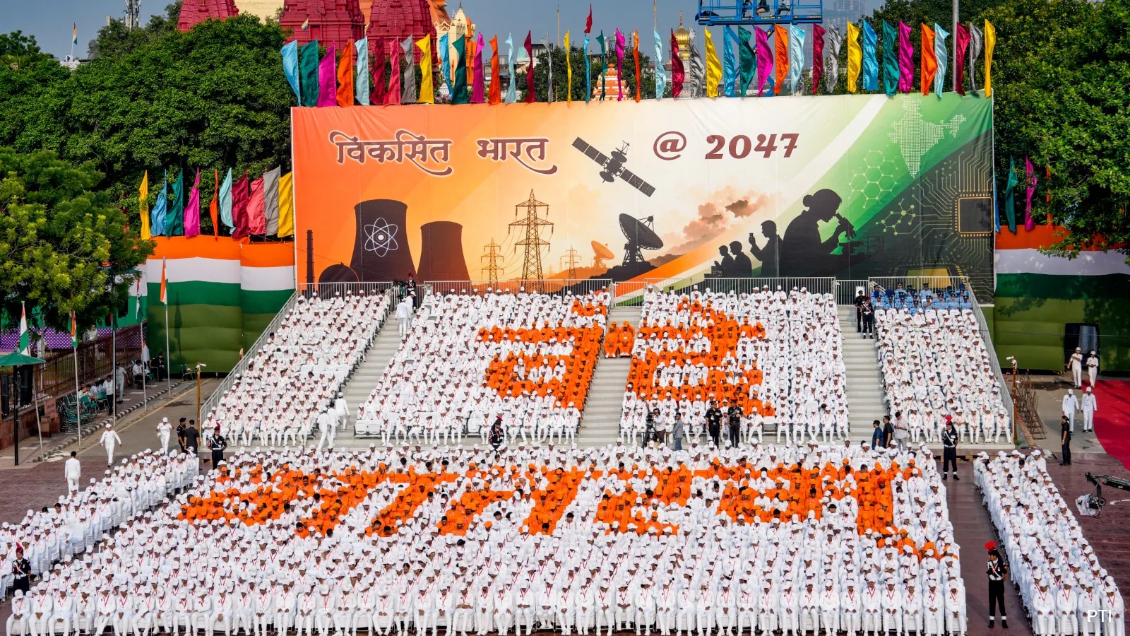
India At 80: The Nation That Stopped Waiting
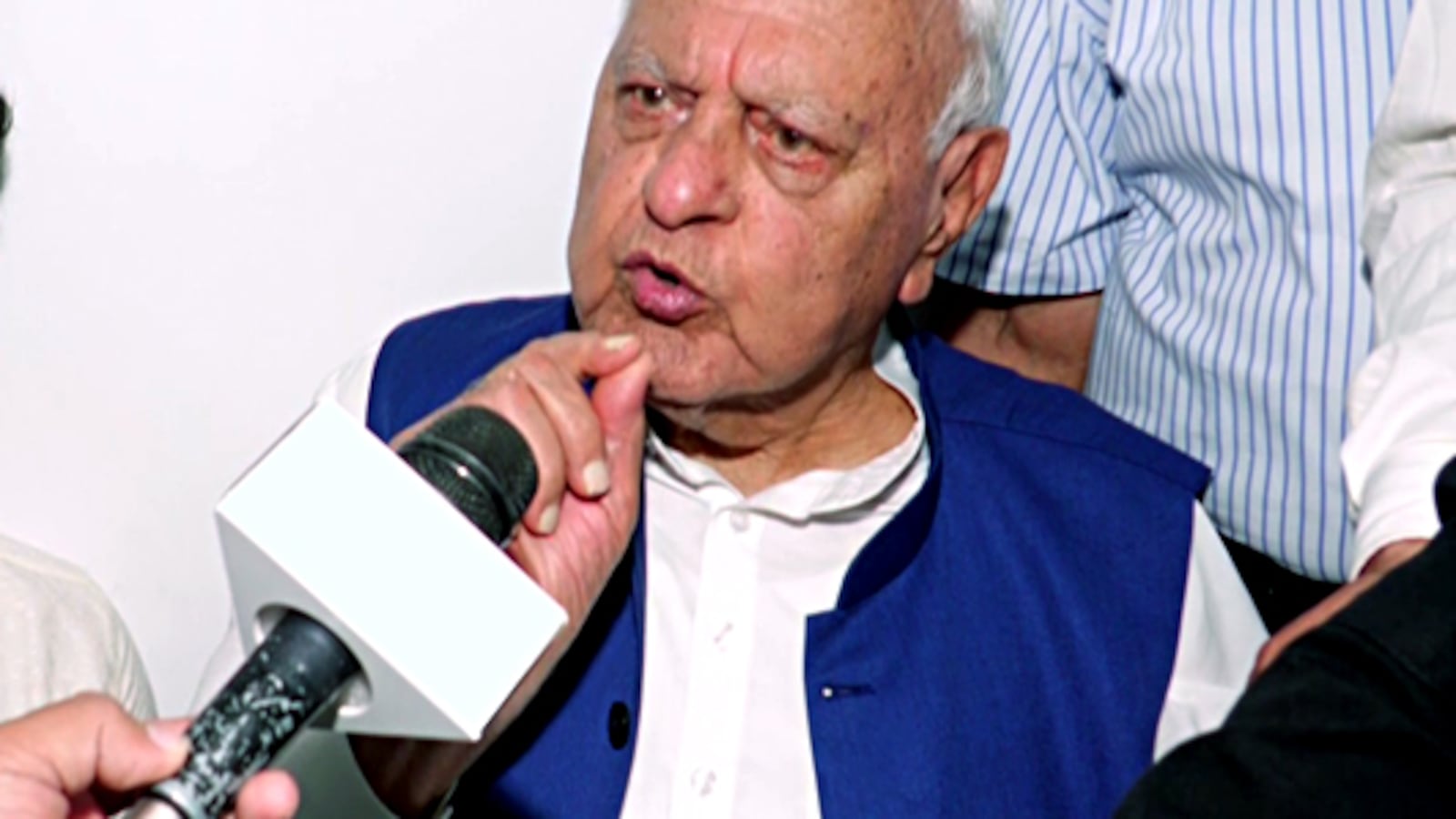
Farooq Abdullah’s Threat Claims Ignite Fury Over Kashmir Statehood

Mehbooba Mufti Urges Omar Abdullah to Resolve Intern Stipend Dispute
Karra Says J-K People Caught Between Two Power Centres

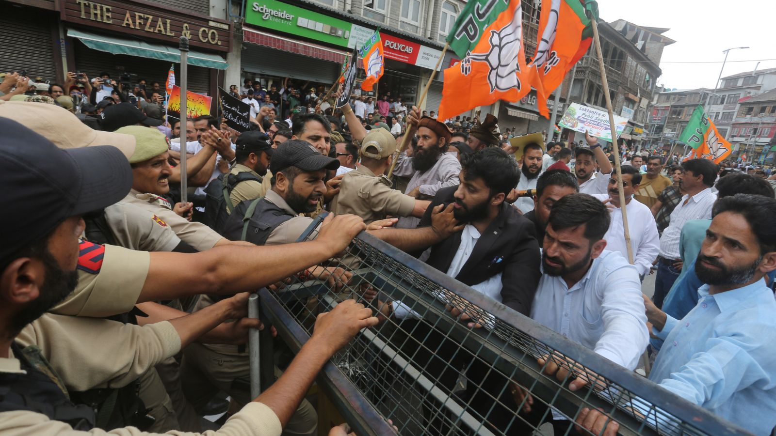
Rival NC-BJP Protests Roil J&K as Police Halt Marches
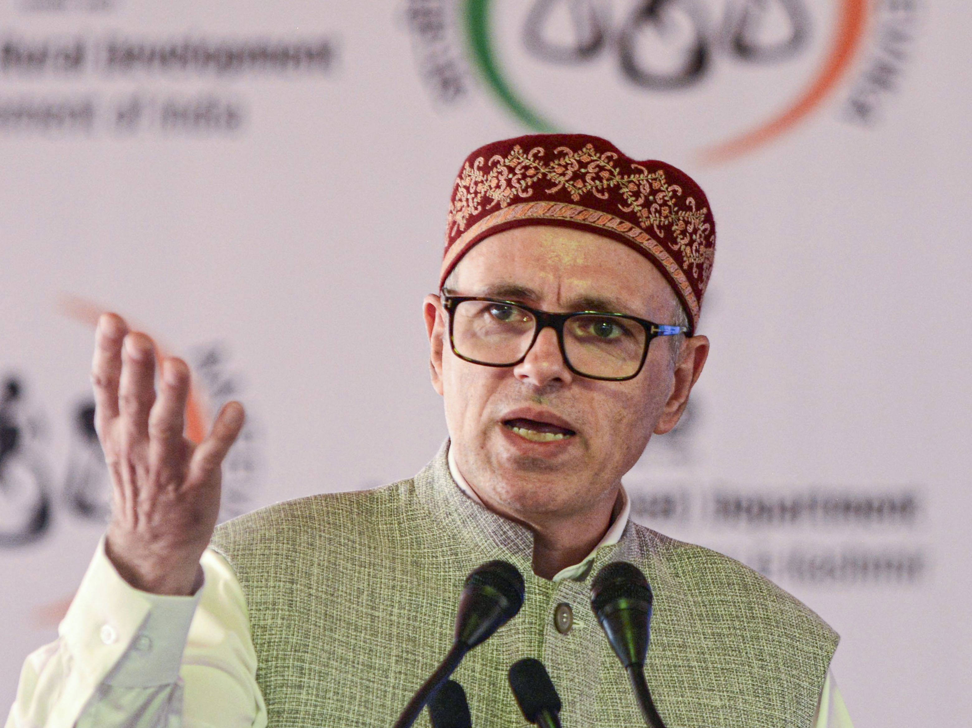
Omar Abdullah Alleges Unequal Treatment of Srinagar Political Protests