

1 day ago
BMC Launches Fresh Study of Mumbai’s Coastal Flooding Risk
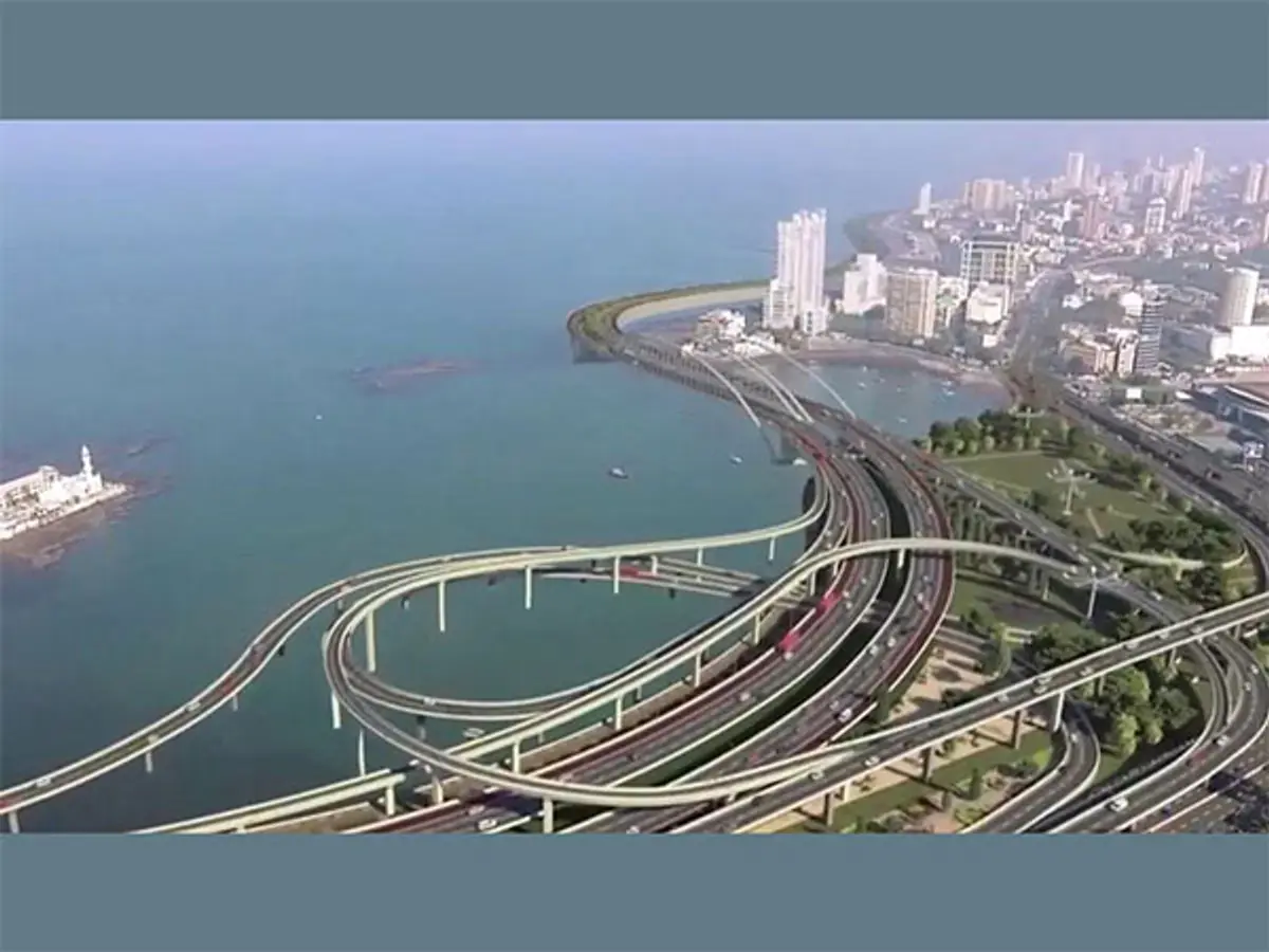
Mumbai is a coastal city, so rising seas could make flooding more common.
The city government has started a new study to find the places most at risk.
The study will look along Mumbai’s 149-kilometre coastline and identify people who live near the shore.
It will also examine new roads, reclaimed land and other changes to the coastline.
A United Nations report said sea levels rose by 5.9 millimetres around the world in 2024.
Scientists expect seas to keep rising during this century.
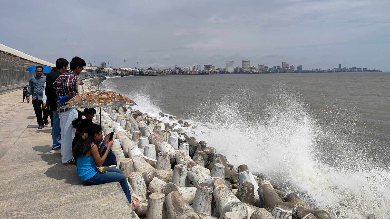
Heavy rain and high tides can make flooding worse by stopping water from draining away.
Experts also say that protecting mangroves and wetlands and improving city planning could help Mumbai prepare.

The Brihanmumbai Municipal Corporation has begun its second coastal-risk assessment in five years.
The study will examine Mumbai’s 149-kilometre coastline, exposed communities, land-use changes and future sea-level rise.
Recent shoreline changes include the Coastal Road, more than 100 hectares of sea reclamation and proposed salt-pan development.
A United Nations report recorded global sea-level rise of 5.9 millimetres in 2024 and projected at least 0.5 metre by 2100.
Experts said Mumbai’s flood risk reflects both climate pressures and urban-management problems, including heavy rain, high tides, concretisation and shrinking wetlands.
- Who
- The Brihanmumbai Municipal Corporation is conducting the assessment, with views cited from climate and ocean experts including Raghu Murtugudde and Roxy Mathew Koll.
- What
- A new climate-risk study will map vulnerable coastal stretches, identify exposed populations and assess the effects of sea-level rise, development, land-use changes and climate patterns.
- Where
- Mumbai, including its 149-kilometre coastline, shoreline communities, coastal wetlands and the island city.
- When
- The assessment is underway and is expected to be released next year; it follows a previous assessment conducted five years earlier.
- Why
- The study was commissioned because Mumbai’s coastline and land use have changed substantially while rising seas, erratic rainfall, high tides and urban development increase flood vulnerability.
Climate and Coastal Risk Emphasis
Urban Planning and Management Emphasis
Main cause of flooding
Climate and Coastal Risk Emphasis
Raghu Murtugudde said warming, increasingly erratic rainfall, heavy rain and high tidal waves combine to increase Mumbai’s inundation risk.
Urban Planning and Management Emphasis
Roxy Mathew Koll said Mumbai’s flooding is more fundamentally a management problem caused by unplanned development, concretisation, altered rivers and shrinking floodplains.
Role of coastal development
Climate and Coastal Risk Emphasis
The assessment should account for future sea-level rise and changing climate patterns when estimating the city’s vulnerability.
Urban Planning and Management Emphasis
A civic official said the Coastal Road, more than 100 hectares of reclamation, salt-pan development and wider land-use changes have transformed the shoreline and require a new local assessment.
Protection priorities
Climate and Coastal Risk Emphasis
Mapping future exposure is necessary to understand which communities and infrastructure could face greater risks from rising seas and extreme weather.
Urban Planning and Management Emphasis
Koll emphasised preserving and expanding mangroves, wetlands and floodplains because they can absorb floodwater and reduce the effects of waves, winds and coastal surges.
Key facts
- Assessment authority
- Brihanmumbai Municipal Corporation
- Coastline covered
- 149 kilometres
- Assessment status
- Underway; report expected next year
- Global sea-level rise in 2024
- 5.9 millimetres, according to a United Nations report
- Projected rise by 2100
- At least 0.5 metre under aggressive emissions-reduction scenarios, and up to two metres under a worst-case West Antarctic ice-sheet scenario
- Previous Mumbai projection
- The 2022 Mumbai Climate Action Plan projected that up to 80 percent of the island city could be submerged by 2050
- Mangrove changes, 2008-2021
- About 325 hectares of dense mangroves became sparse or intertidal mudflats, while density increased across about 305 hectares
Quotes
Raghu Murtugudde
Emeritus professor at the University of Maryland and visiting professor at IIT Bombay
“Rapid development, concretisation and land-use changes shrink floodplains and congest rivers. The Bandra Kurla Complex was built on mangrove land, while the Mithi River was reduced to a nallah due to roads and encroachment. Mumbai floods are more of a management problem due to unplanned development rather than a climate change problem”
 indianexpress.com
“Over the past few years, we have seen rainfall patterns becoming more erratic, with Mumbai recording above-normal rainfall. Heavy rainfall and high tidal waves are working as a combined factor leading to inundation of Mumbai, posing a heavy risk to people living in the island city”
indianexpress.com
A senior civic official
An unnamed civic official familiar with the BMC assessment
“Over the last five years, Mumbai’s shoreline has seen a massive transformation. The Coastal Road has come up along the western seafront, with more than 100 hectares of the Arabian Sea reclaimed. On the eastern side, salt pan lands have been identified for development. There has also been a change in the overall land-use pattern. Therefore, a fresh risk assessment was needed”
indianexpress.com
Sources
Related news
UN Warns Mumbai Faces Growing Risk of Permanent Inundation
UN Warns Rising Seas Put Millions in South Asian Deltas
UN Warns of Rising Sea Levels Threatening India
Bandra Fort Coastal Upgrade Gets CRZ Clearance For Seawall

127 Mumbai Architects Urge Government to Protect City's Open Spaces
Mumbai’s Mapped Landslide Risks Persist Without Evacuation System
