12 hrs ago
Revenue Officials Survey Alleged Government Lands Near KCR Farmhouse
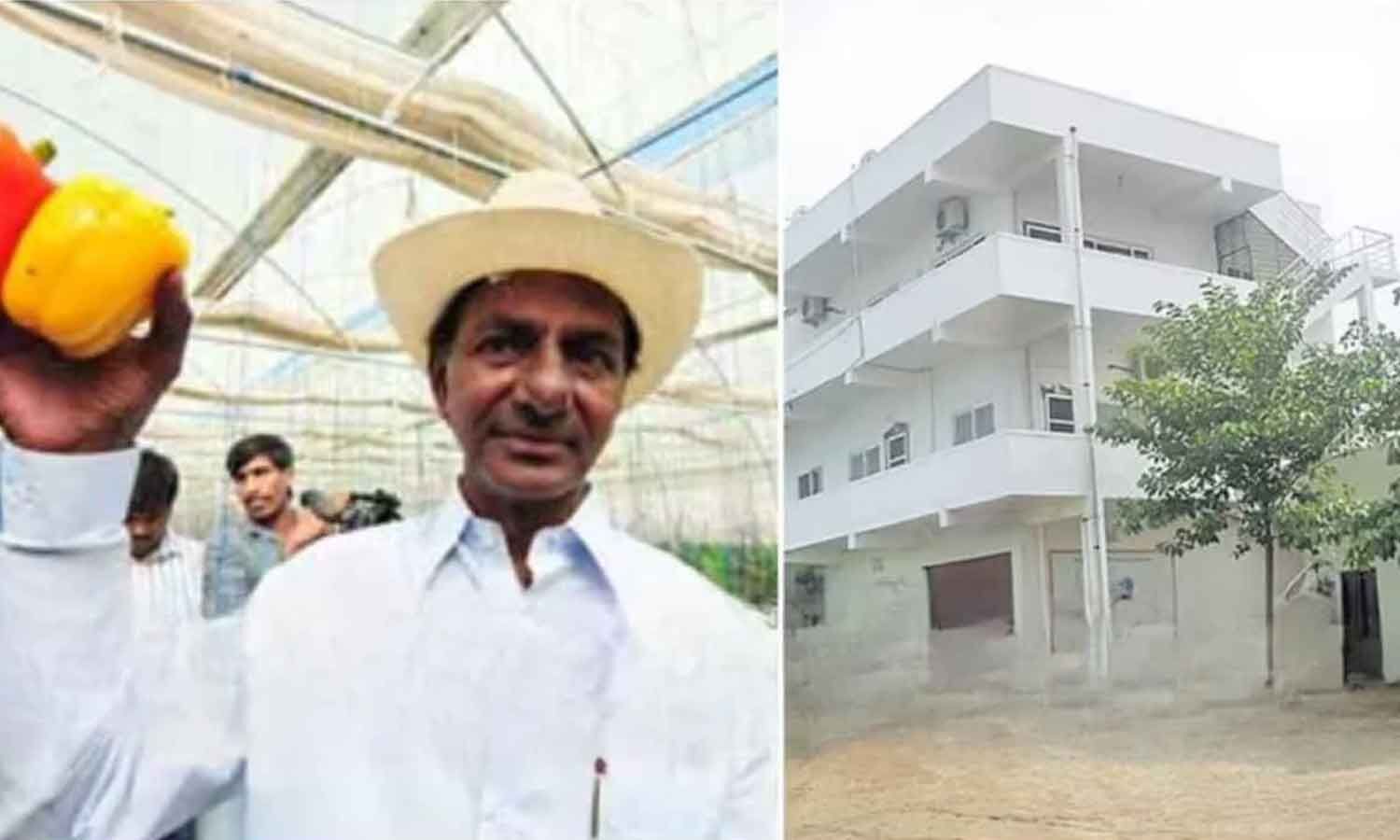
Officials are checking land records near K Chandrashekar Rao’s farmhouse.
They want to find out whether government land was improperly included in the property.
The investigation began after Chief Minister A Revanth Reddy announced a probe.
Officials examined documents and land records in nearby villages.
They are also using satellite images and Google Earth maps.
About 385 acres of government land are being examined.
Some farmers stopped the officials and asked why their cultivated land was being surveyed.
District authorities are expected to send a report to the government within a day or two.

Revenue officials surveyed lands associated with K Chandrashekar Rao’s farmhouse in Erravalli village.
The probe follows Chief Minister A Revanth Reddy’s announcement concerning allegedly usurped assigned lands.
Officials examined records at the Markook Tahsildar’s office and verified survey numbers in Erravalli and Venkatapur.
Authorities focused on the status of 385 acres of government land near the farmhouse.
Some farmers briefly obstructed the survey, questioning the inspection of land they said they cultivated.
- Who
- Revenue Department officials, Chief Minister A Revanth Reddy, K Chandrashekar Rao’s family, and local farmers.
- What
- Officials began surveying and reviewing records for alleged government and assigned lands associated with KCR’s farmhouse.
- Where
- Around the farmhouse at Erravalli village in Markook mandal, Siddipet district, including lands in Erravalli and Venkatapur villages.
- When
- The survey began on Thursday, one day after Revanth Reddy announced the probe.
- Why
- The government is investigating allegations that assigned or government lands were improperly used or included in the farmhouse property.
Officials’ inquiry
Farmers’ objection
Purpose of the survey
Officials’ inquiry
Officials are investigating allegations that government or assigned lands were misused near the farmhouse.
Farmers’ objection
Farmers questioned why officials were surveying land they said they had been actively cultivating.
Land ownership and use
Officials’ inquiry
Authorities are checking the status of government and private patta lands using records, survey numbers, and satellite imagery.
Farmers’ objection
The farmers’ intervention reflected their concern about inspection of the land they cultivate, though the article does not state their legal ownership claims.
Key facts
- Farmhouse location
- Erravalli village, Markook mandal, Siddipet district
- Land under focus
- Approximately 385 acres of government land
- Records examined
- Survey numbers and records for government and patta lands
- Officials involved
- District Revenue Officer AD Sudarshan and RDO Chandrakala
- Survey tools
- Google Earth maps and satellite imagery
- Expected report
- District authorities planned to submit a report to the government in a day or two
Sources
Related news

Telangana Officials Begin Probe Into KCR Farmhouse Lands
Telangana CM Orders Probe Into Land Linked To KCR

Revanth Reddy Orders Probe Into KCR Farmhouse Land
Telangana Land Probe Sparks Fresh War Over 22-A
Telangana Government Alleges BRS Land Reclassification Scheme
Maharashtra Forms SIT To Probe Kalyan Government Land Transfers
Telangana BRS-Congress Tensions Rise After Social Media Arrest

Telangana Purification Row Triggers Cases, Counter-Complaint

Revanth Reddy Orders Probe, Attacks KCR Over Purification Controversy