

3 weeks ago
7.4 Magnitude Earthquake Strikes Colombia, Damages Airports
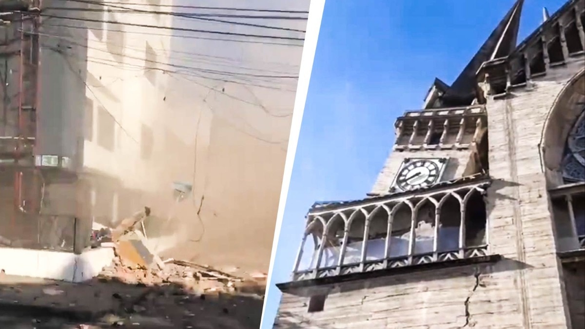
A very big earthquake hit the country of Colombia.
An earthquake is when the ground shakes really hard.
This one was a 7.4 on the scale scientists use to measure earthquakes.
The shaking started near a town called San Jose Del Palmar.
It happened deep underground, about 107 kilometers down.
The strong shaking hurt buildings in the Choco region, and one building fell down in the city of Pereira.
Six airports had to close so airplanes could not fly.
People in a nearby country called Venezuela felt the shaking too.
Venezuela had very bad earthquakes just a few weeks before this one.
Scientists are still checking their numbers and say the size of the earthquake might change as they learn more.

A 7.4 magnitude earthquake struck Colombia on August 10, 2026, with its epicenter near San Jose Del Palmar in the Choco region, about 250 miles (400 km) west of Bogota.
The quake occurred at a depth of 66 miles (107 km), according to joint reporting from the US Geological Survey (USGS) and Colombia's seismic agency.
Choco Governor Nubia Córdoba reported injuries and serious damage to buildings in the regional capital, with casualty details still preliminary.
Six airports serving Pereira, Manizales, Quibdo, Armenia, Cartago, and Buenaventura sustained damage and suspended all operations.
Tremors were felt in Venezuela, which is still reeling from back-to-back 7.2 and 7.5 magnitude earthquakes on June 24, 2026 that killed more than 5,000 people.
- Who
- Residents of Colombia's Choco region and western cities; Choco Governor Nubia Córdoba; the US Geological Survey and Colombia's seismic agency.
- What
- A massive 7.4 magnitude earthquake that damaged buildings and six airports and suspended air operations across western Colombia.
- Where
- Epicenter near San Jose Del Palmar in the Choco region, about 250 miles (400 km) west of Bogota; tremors also felt in parts of Venezuela.
- When
- August 10, 2026 (Monday).
- Why
- Not explicitly stated in the reports; USGS noted magnitude and intensity estimates may be revised as additional field observations become available.
Key facts
- Magnitude
- 7.4
- Epicenter
- Near San Jose Del Palmar, Choco region
- Depth
- 66 miles (107 km)
- Distance from Bogota
- Approximately 250 miles (400 km) west
- Airports affected
- 6 (Pereira, Manizales, Quibdo, Armenia, Cartago, Buenaventura)
- Reporting agencies
- US Geological Survey and Colombia's seismic agency
- Damage reported
- Injuries and serious building damage in Choco regional capital; 3-story building collapse in Pereira
Quotes
Nubia Córdoba
Governor of Chocó province
“"there are injuries and serious damage to buildings,"”
 businesstoday.in
Sources
Related news

Powerful 7.4-Magnitude Earthquake Strikes Colombia, Tremors Felt in Bogotá

Colombia's strongest earthquake this century kills at least 132

7.4 Magnitude Earthquake Jolts Western Colombia, Killing Dozens

Colombia earthquake: 224 dead, 3,000 missing, buildings damaged
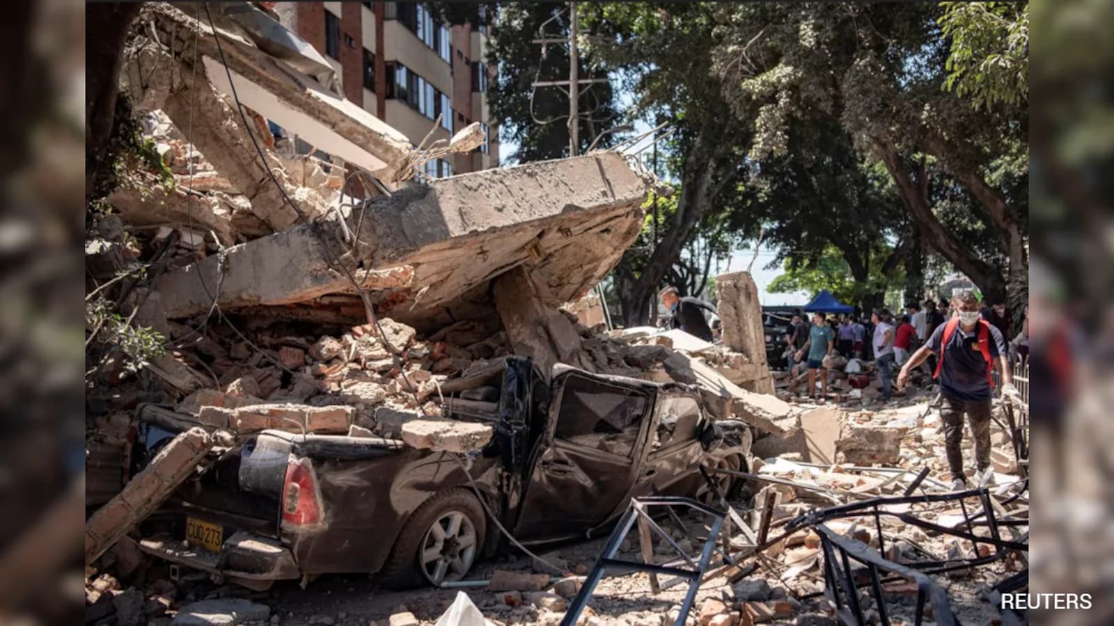
Colombia Earthquake Kills 132; Rescuers Search for Survivors

Earthquake on Colombia's Pacific coast causes injuries and damage

Gossip Turns Information Into Money, Welfare, and Social Power

Miss Teen International 2026 Finalists Visit Taj Mahal In Agra

La Tomatina 2026 Brings World’s Largest Tomato Fight to Spain

Ambani succession plan faces scrutiny over Vantara wildlife sanctuary
US Military Strike on Caribbean Boat Kills Four
