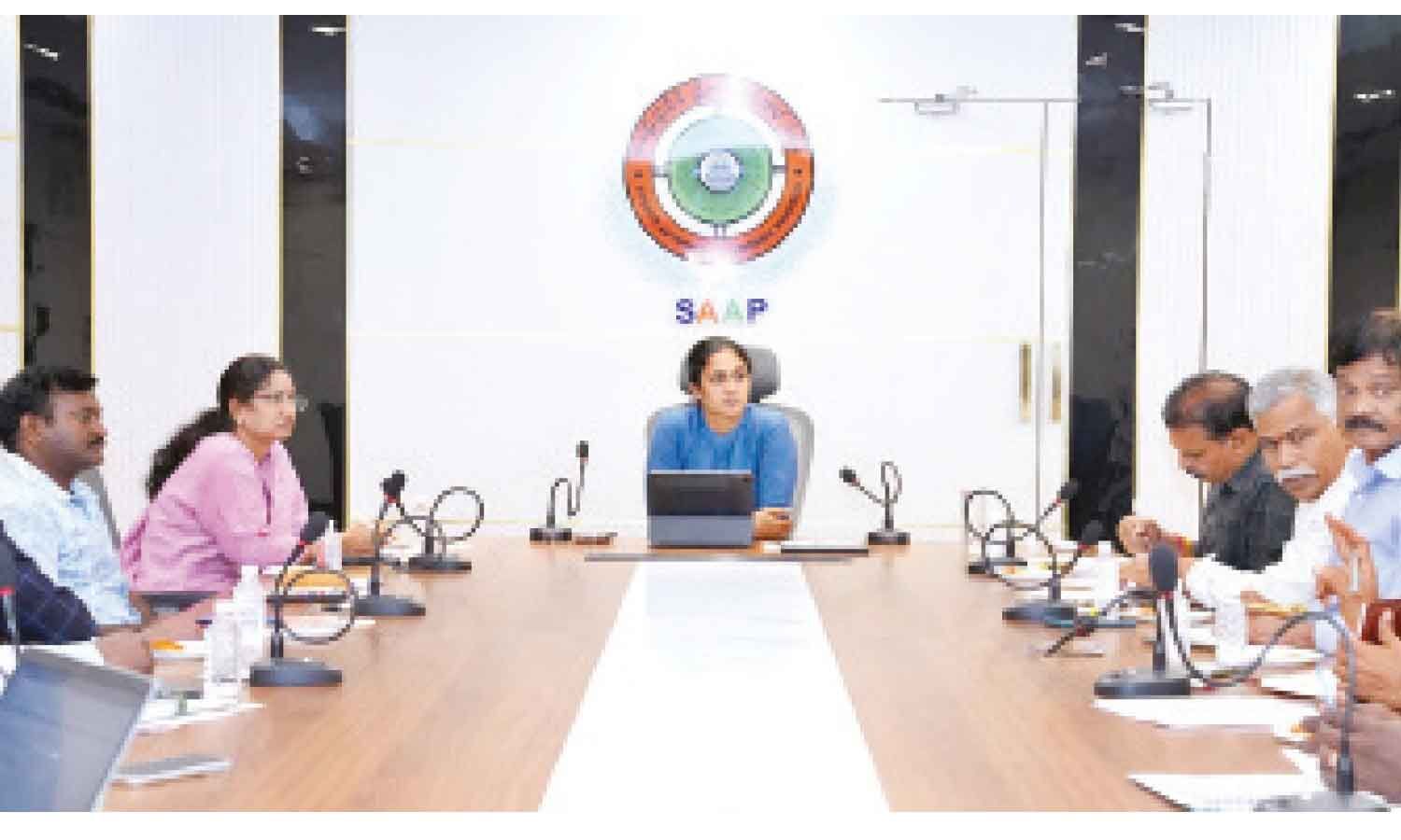
1 day ago
Collector Explains Land Pooling Rules to Amaravati Farmers

A district collector met farmers in Vaddamanu to explain how land pooling will work.
The meeting was part of the next phase of land pooling for Amaravati.
He said officials would count only the actual area farmers own.
They will check resurvey records and Pattadar Passbooks to find that area.
Farmers were asked to bring documents that show who they are and what land they own.
Land used for roads or owned by the government will not be counted as private land.
Some farmers said their old papers show different land measurements from the new survey records.
Officials from revenue and development departments also attended.

District Collector CM Saikanth Varma addressed a village meeting in Vaddamanu on Wednesday.
The briefing was part of the second phase of Amaravati land pooling.
Officials will use resurvey records and Pattadar Passbooks to determine the actual privately owned land area.
Farmers were asked to provide documents, including identity, banking and land ownership records.
Farmers raised discrepancies between measurements in their old documents and resurvey records.
- Who
- District Collector CM Saikanth Varma and farmers; officials from AP CRDA and revenue departments were also present.
- What
- The collector explained the land pooling procedure and required documents, while farmers raised measurement discrepancies.
- Where
- Vaddamanu village, Tulluru mandal, in the Guntur district area.
- When
- Wednesday; the article does not specify a date.
- Why
- The meeting was held as part of the second phase of Amaravati land pooling.
Key facts
- Land extent
- Officials said pooling would cover only the actual privately owned area shown by farmers.
- Records for measurement
- Resurvey records and Pattadar Passbooks would be used to establish land extent.
- Documents requested
- Aadhaar card, bank passbook, Pattadar Passbook, title deed, land registration and link documents, Aadhaar-linked mobile number, and two photographs.
- Land excluded from private extent
- Donka roads and government land would not be counted as privately owned land.
- Farmers' concern
- Farmers reported differences between measurements in long-held old land documents and resurvey records.
- Meeting context
- The village meeting was part of the second phase of Amaravati land pooling.
Sources
Related news
Wanaparthy Official Orders Rigorous, Transparent Land Re-Survey Work
Rangareddy Begins Village Resurvey to Resolve Land Boundary Disputes
Erravelli Officials Survey Land Near KCR Farmhouse
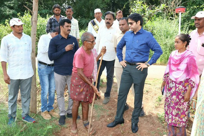
Bhadradri-Kothagudem Officials Push for Error-Free Land Re-Survey
Officials Complete First Phase of Erravalli Government Land Survey
Officials Prepare Notices Over Alleged Government Land Encroachments in Erravelli
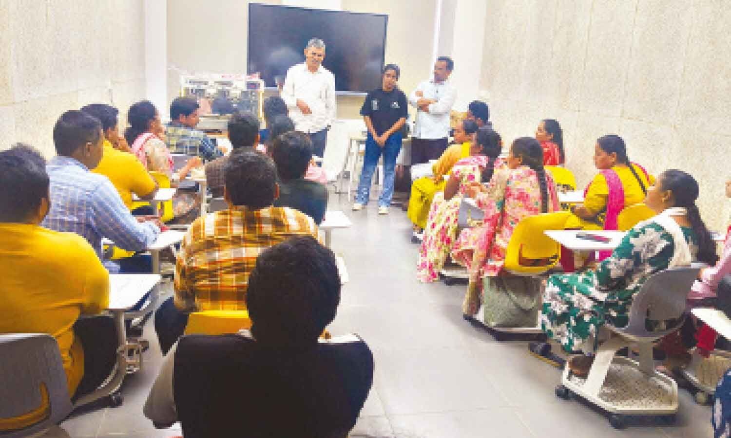
Free Three-Day Barista Training Targets Unemployed Youth in Amaravati

Andhra Pradesh Launches URBIS Centre With UN-Habitat Support

Amaravati Authority Allots 18 Returnable Plots to Farmers

NAN Partners Explores Expanded Role in Amaravati Development