7 hrs ago
UN Map Vote Exposes Disputes Over Projection and Sovereignty

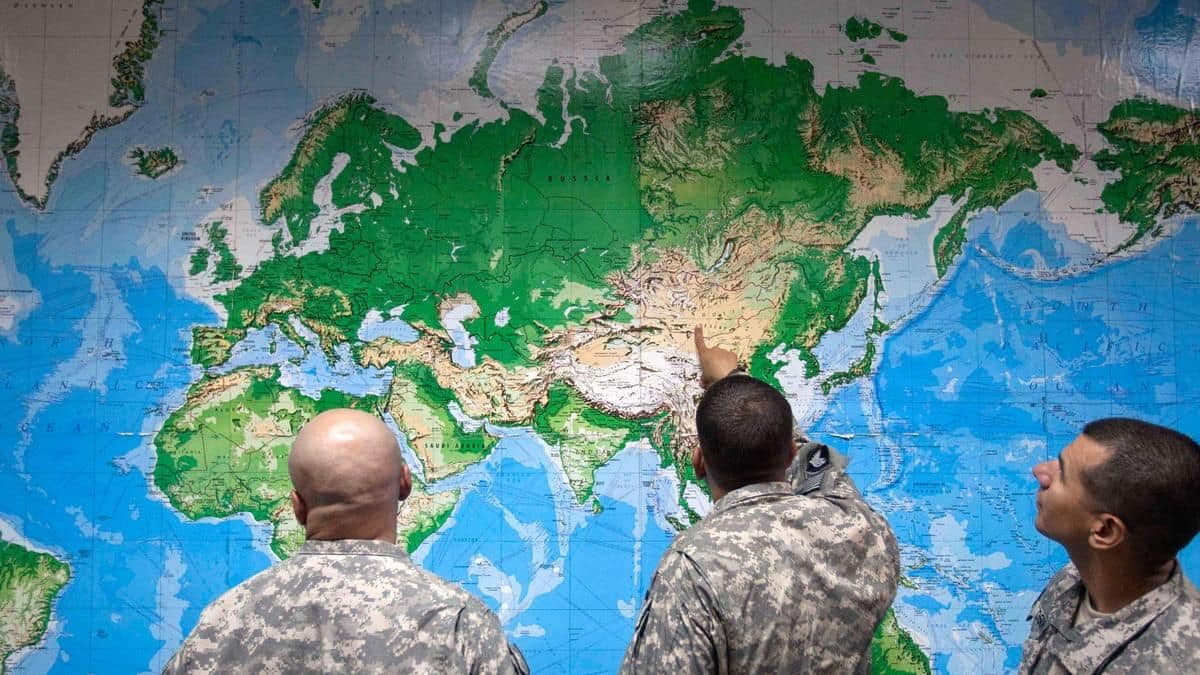
The United Nations voted to encourage maps that show the sizes of continents more fairly.
The Mercator map makes places near the poles look much bigger than they really are.
The proposed replacement is called Equal Earth.
Togo introduced the proposal for the African Union.
The United States voted against it and said the issue was not an important UN priority.
At the same time, people noticed that a newer UN map shows several disputed borders in sensitive ways.
India says its borders should be drawn according to its own official maps.
Ukraine and Japan also objected to how some disputed territories appear on the map.
The disagreement shows that maps can affect how countries understand and defend their sovereignty.

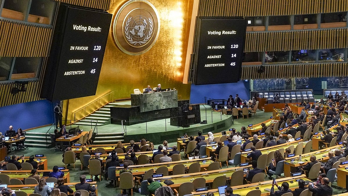
The United Nations General Assembly voted 164-1, with six abstentions, to promote equal-area mapping over the Mercator projection.
The resolution, proposed by Togo for the African Union, recommends the 2018 Equal Earth projection to better represent continental size.
The United States opposed the initiative, calling it an ideological project unrelated to the United Nations’ core priorities.
A July 1, 2026, UN world map has drawn scrutiny for its treatment of disputed borders involving India, Ukraine, Japan, China, and Russia.
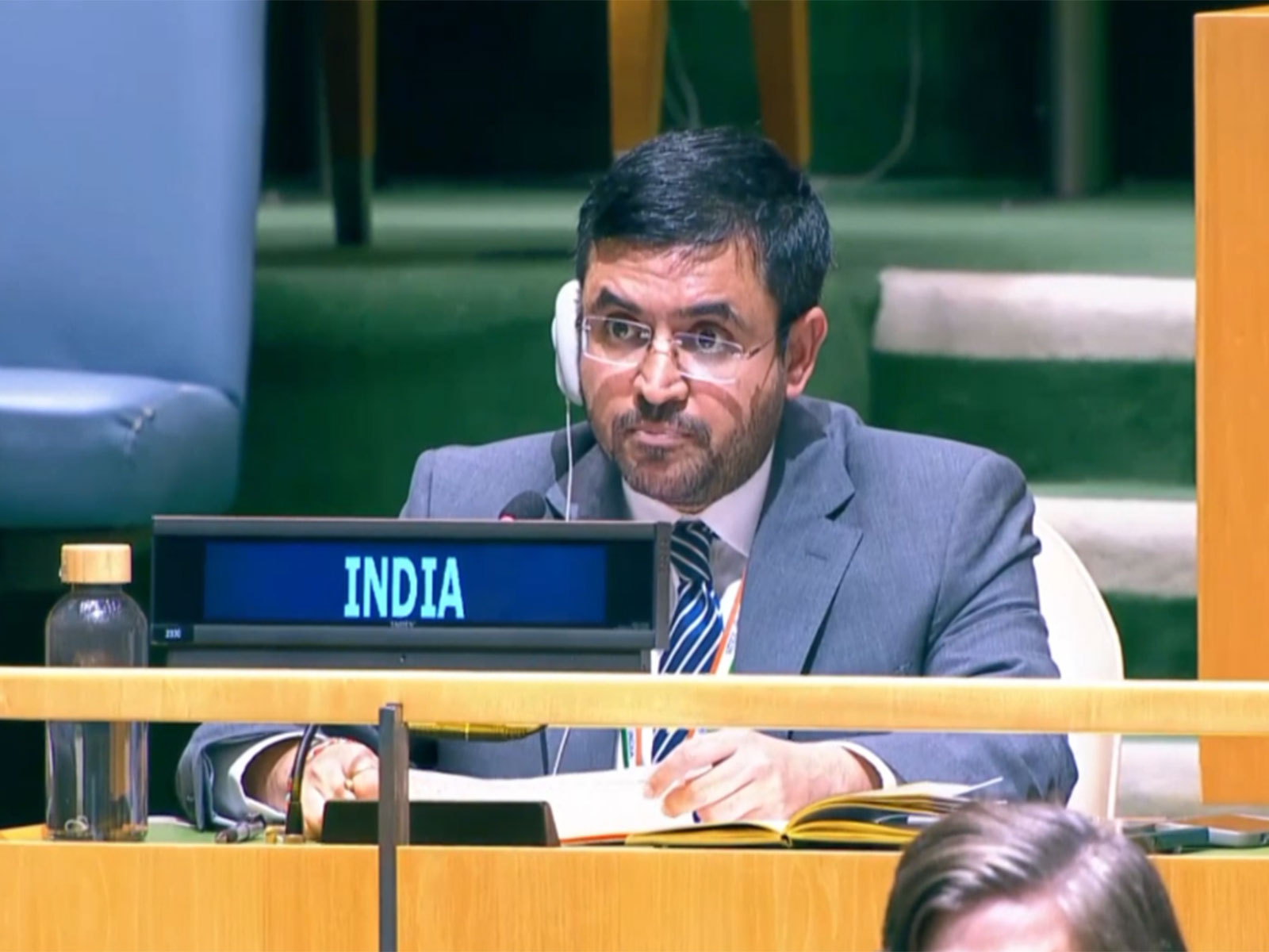
India supported equal-area cartography but said its territory must be shown according to India’s official map.
- Who
- The United Nations General Assembly, with a resolution introduced by Togo on behalf of the African Union; the United States, India, Ukraine, and Japan expressed differing views.
- What
- The General Assembly approved a resolution promoting equal-area world maps and controversy followed over the UN’s depiction of disputed territories.
- Where
- At the United Nations, with disputes concerning Africa, India’s borders, Crimea, the Kuril Islands, Taiwan, and other territories.
- When
- The UN map edition was issued on July 1, 2026, and the resolution was approved on September 4, 2026.
- Why
- The resolution seeks to correct the Mercator projection’s distortion of continental size, while governments are concerned that map lines and colors may imply positions on territorial sovereignty.
Equal-Area Mapping and National Positions
UN Neutrality and Critics of the Initiative
Purpose of the resolution
Equal-Area Mapping and National Positions
The African Union and supporters argue that replacing Mercator with Equal Earth would correct distortions in the apparent size of continents and promote what the African Union calls cognitive justice and memorial reparation.
UN Neutrality and Critics of the Initiative
The United States argues that the initiative is an ideological project and distracts the United Nations from international peace, prosperity, and good relations.
How disputed borders should appear
Equal-Area Mapping and National Positions
India says its territory should be shown according to India’s official map; Ukraine warned that map treatment of Russian-occupied Crimea could create a precedent for other states; Japan objected to the depiction of the Kuril Islands.
UN Neutrality and Critics of the Initiative
The UN map carries a disclaimer saying its lines do not express an opinion on the legal status of territories or frontiers, and the secretariat’s mapping practices are presented as reference rather than legal determinations.
India’s territorial depiction
Equal-Area Mapping and National Positions
India’s stated position is that its sovereign territory must be depicted in accordance with its official maps, including its positions concerning Arunachal Pradesh and Aksai Chin.
UN Neutrality and Critics of the Initiative
The UN map reportedly uses differing Indian and Chinese lines, an intervening unclaimed strip, and a dotted line for Jammu and Kashmir, reflecting the organization’s stated treatment of disputed status rather than India’s preferred depiction.
Key facts
- Vote
- 164 in favor, one against, and six abstentions.
- Resolution sponsor
- Togo introduced the resolution on behalf of the African Union.
- Recommended projection
- Equal Earth, developed in 2018 to preserve relative continental area.
- Current map issue
- The UN Geospatial Information Section issued a new world map edition on July 1, 2026.
- United States position
- The United States voted against the resolution and called it part of a broader ideological project.
- India’s position
- India said its sovereign territory must be depicted according to India’s official map.
- Indian map law
- The article says a 1961 law made questioning India’s territorial integrity or frontiers punishable by up to three years, with a 1990 amendment targeting maps that depart from the Survey of India’s map.
Quotes
Yaryna Ferencevych
US deputy representative to the UN Economic and Social Council
“Resolutions like this and the ideological agenda they promote are barnacles on our work here and the reason this institution is losing its credibility”
 deccanchronicle.com
Sources
Related news
UN backs fairer maps as India urges cartographic neutrality
India Seeks Correct Jammu and Kashmir, Ladakh Map Depiction
India Backs UN Map Resolution, Sets Territorial Terms for J&K

UN Map Reform Challenges Colonial Distortions and Border Claims
UN Assembly Backs Equal Earth Map With India’s Support
India Backs UN Resolution Promoting More Accurate World Map

India Bat First Against Bangladesh in Asian Games Semifinal

India Wins Women’s Air Rifle Team Silver at Asian Games

Suchika Tariyal Secures India’s First Asian Games MMA Medal

Mandaviya Praises Indian Diaspora Supporting Athletes At Nagoya Asian Games

Rishabh Das Reaches Asian Games 100m Backstroke Final