21 hrs ago
Unchecked Academic Maps Continue to Challenge India’s Territorial Integrity

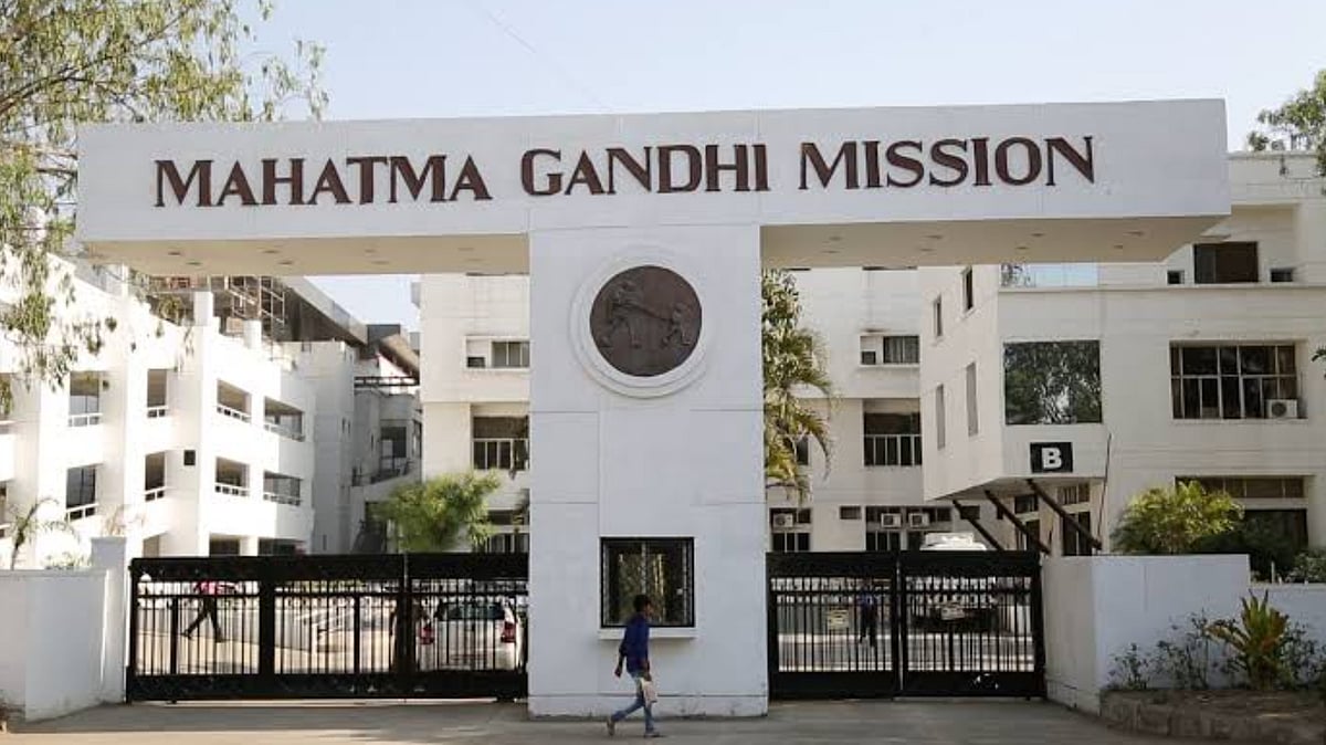
Some school and university maps of India show the country’s borders incorrectly.
The writer says this problem has existed in academic work for many years.
Students and researchers sometimes download map files from foreign websites.
These files may show disputed territory in a way that conflicts with India’s official position.
The files can then be copied into theses, presentations, and research papers.
The writer believes teachers, reviewers, and universities should check these maps carefully.
Indian law can punish the publication of maps that do not follow official guidelines.
A 2024 University Grants Commission letter reminded universities to follow those rules.

The writer says inaccurate maps of India have circulated in academic work since at least 2012.
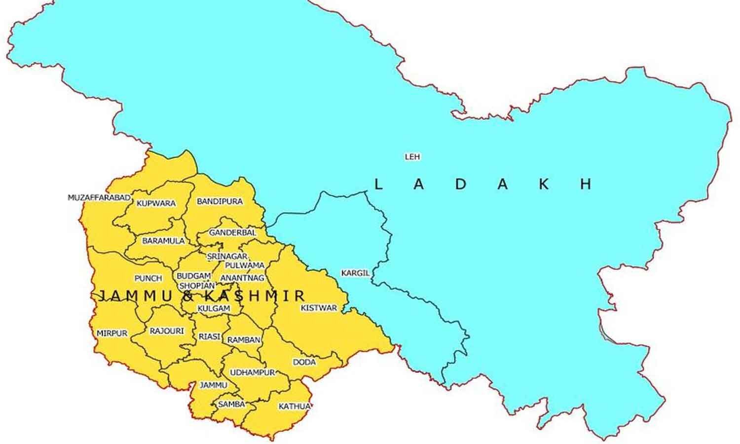
Foreign open-data shapefiles may depict Pakistan-Occupied Jammu and Kashmir as part of Pakistan.
The article argues that universities, reviewers, and researchers often fail to check maps before publication.
It says a 1990 law allows penalties for maps that violate Survey of India guidelines.
The University Grants Commission asked universities in May 2024 to comply with mapping requirements.
- Who
- Indian students, researchers, universities, reviewers, the Survey of India, and the University Grants Commission are involved; the article was written by an assistant professor at Rabindra Bharati University.
- What
- The article addresses the continued use and circulation of academic maps that allegedly do not follow India’s constitutionally mandated territorial boundaries.
- Where
- The issue is described across Indian universities, geography classrooms, GIS laboratories, theses, journals, and academic presentations.
- When
- The writer describes encountering the problem since 2012; the University Grants Commission issued a compliance letter in May 2024.
- Why
- The writer says unchecked maps can undermine India’s territorial position, particularly during periods of information warfare.
Key facts
- Problem identified
- Academic works allegedly use maps that portray India’s boundaries incorrectly.
- Period described
- The writer says the issue has recurred since 2012.
- Common source
- Foreign open-data websites provide shapefiles used in GIS mapping.
- Legal framework
- The article says the Criminal Law Amendment (Amending) Act of 1990 prohibits maps that do not follow Survey of India guidelines.
- Recent directive
- The University Grants Commission wrote to universities in May 2024 asking them to comply.
- National Map Policy
- The 2005 policy limited the visibility of certain details in civilian Open Series Maps.
- National Geospatial Policy
- The 2022 policy made geospatial data more accessible to citizens, according to the article.
Sources
Related news
India insists UN maps accurately depict J&K, Ladakh
India Backs UN Map Resolution, Sets Territorial Terms for J&K

UN Map Vote Exposes Disputes Over Projection and Sovereignty
UN Map's Arunachal Pradesh and Aksai Chin Lines Spark Dispute
India-Pakistan Map Dispute Revives Tensions Over Jammu and Kashmir
India Seeks Correct Jammu and Kashmir, Ladakh Map Depiction
Higher Education Needs Reform Beyond Ceiling Fan Replacements
Hindu College Standoff Escalates as Governing Body Notices Professors
Jamia Approves One-Year Postgraduate Programmes Across 13 Disciplines
BJP Faces Reservation Tensions as Electoral Balancing Act Tightens