3 weeks ago
Collector inspects land re-survey; urges farmers to cooperate

A government leader visited some villages in India to check on a special project.
The project is called a land re-survey, which means workers measure and map farmland.
This helps fix mistakes in land records and shows exactly where each farm ends.
Workers use modern equipment and technology to do the mapping.
When the survey is finished, every farmer gets a special card called a 'Bhudhar' card.
The card shows a digital map of their land.
Farmers are told two days before workers come to their land.
Farmers and their neighbors help point out where the boundaries are.
After the work is done, the new land details are shown in the village so everyone can see them.
The leader asked all farmers to take part and give correct information.

District Collector Divakar TS inspected the ongoing land re-survey in Bethupalli, Narayanapuram, and Gangaram villages in the Sathupalli Assembly constituency.
The re-survey covers around 12,000 acres across seven villages under Bethupalli revenue limits, of which about 4,000 acres have been completed by 10 teams.
Each farmer will receive a 'Bhudhar' card carrying a digital map of their land after the survey is done.
Farmers will be served notices 48 hours before their land is surveyed, and boundaries will be established in the presence of landowners and adjoining farmers through a panchnama.
The Collector urged land rights holders and pattadar passbook holders to attend the survey and provide complete details; revised land details will be displayed in villages and at government offices.
- Who
- District Collector Divakar TS, accompanied by Sub-Collector Ajay Yadav and other officials, and the farmers of the surveyed villages.
- What
- Inspection of the government's ongoing land re-survey aimed at resolving record discrepancies, demarcating boundaries transparently, and issuing 'Bhudhar' cards with digital land maps.
- Where
- Bethupalli, Narayanapuram, and Gangaram villages in the Sathupalli Assembly constituency, Khammam district.
- When
- On Tuesday, during the Collector's field visit to the villages.
- Why
- To resolve discrepancies in land records, demarcate boundaries transparently, and provide every farmer with a 'Bhudhar' card carrying a digital map of their land.
Key facts
- Event
- Government land re-survey inspection
- District Collector
- Divakar TS
- Sub-Collector
- Ajay Yadav
- Location
- Khammam district, Sathupalli Assembly constituency
- Area under re-survey
- Around 12,000 acres
- Re-survey completed
- Around 4,000 acres
- Survey teams
- 10
- Notice period for farmers
- 48 hours before survey
- Villages covered
- Gangaram, Bethupalli, Narayanapuram, Ramagovindapuram, M V Palem, Ramanagar, Pakalagudem
Quotes
District Collector Divakar TS
District Collector of Khammam
“The government’s ongoing land re‑survey will help resolve discrepancies in records, demarcate boundaries transparently and provide every farmer with a ‘Bhudhar’ card carrying a digital map of their land.”
 thehansindia.com
“Of the 12,000 acres, re-survey of around 4,000 acres had already been completed through 10 teams.”
thehansindia.com
Sources
Related news

Joint Collector C Vishnu Charan speeds up land re-survey operations

Bhu Bharati Aims to Permanently Resolve Farmers’ Land Issues

Officials Push Transparent, Faster Land Re-Survey in Puttaparthi

Wanaparthy Officials Asked to Identify Section 22-A Lands

Telangana Government Plans Statewide Land Survey Within One Year

Joint Collector Orders Faster Resolution of Land Disputes
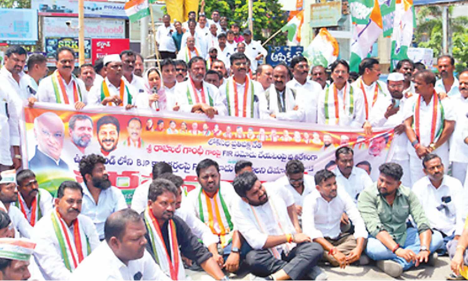
Congress Protests FIR Against Rahul Gandhi in Telangana
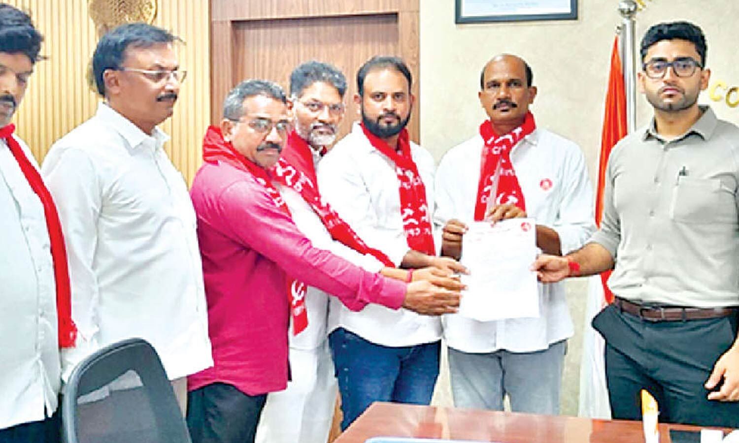
CPM Seeks Voter Revision Centre in Every Khammam Division
BJP Leader Condemns Alleged Congress Office Attack in Telangana
Khammam Plans Integrated Sports Complex, Tourism Infrastructure Push
Tummala Nageswara Rao Pledges Integrated Development for Khammam