2 hrs ago
Study Finds Most Nepal Landslides Near Earlier Sites
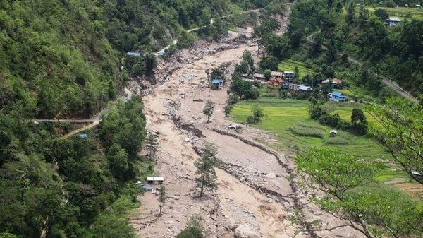
Researchers used satellite pictures to study landslides in Nepal from 2000 to 2021.
They found that about four out of five landslides happened near places where landslides had already occurred.
This means old landslide areas can remain important danger zones.
Many affected areas became less visible within five years, but some stayed active for the whole study period.
The researchers suggest paying close attention to places that have already had landslides.
They say this may help people manage danger, alongside efforts to predict new landslides.
The figures cover land below 4,000 metres, so they may not show the full picture.

Satellite data from 2000–2021 showed nearly 80% of Nepal’s landslides occurred near earlier landslide sites.
The study estimates at least 866 square kilometres of Nepal experience landslides annually, below elevations of 4,000 metres.
Only about 20% of the landslide area visible in satellite imagery was new or reactivated.
Nearly 70% of studied landslide-affected areas recovered within five years, while about 200 square kilometres remained active throughout the study.
Researchers say monitoring known landslide areas could help guide hazard management, rather than focusing only on predicting entirely new sites.
- Who
- Researchers in the United States, United Kingdom and Kathmandu conducted the study.
- What
- A satellite-data study found that nearly 80% of landslides in Nepal occurred near earlier landslide sites.
- Where
- Nepal, for land below 4,000 metres in elevation.
- When
- The study examined landslides from 2000 to 2021 and was published recently; the article does not specify its publication date.
- Why
- The researchers aimed to inform hazard management, emphasizing the importance of understanding and monitoring existing landslide areas.
Emphasis on existing landslide zones
Emphasis on predicting new landslides
Where hazard management should focus
Emphasis on existing landslide zones
The study argues that monitoring and adapting to existing landslide areas and their vicinity could be an important and effective focus for hazard management.
Emphasis on predicting new landslides
The article describes predicting where the next landslide may occur as an alternative focus, but does not present a separate opposing viewpoint or specific argument for it.
Key facts
- Study period
- 2000–2021
- Landslides near earlier sites
- Nearly 80%
- Average annual landslide area
- At least 866 square kilometres
- Country area affected during study
- At least 2.8%, or nearly 2,850 square kilometres
- New or reactivated landslide area
- About 20% of visible landslide area; new landslides covered about 70 square kilometres annually
- Areas recovering within five years
- Nearly 70% of the studied landslide-affected areas
- Persistently active area
- About 200 square kilometres remained active throughout the 22-year study
- Elevation covered by reported estimates
- Land below 4,000 metres
Quotes
Researchers who conducted the study
Researchers whose study examined Nepal landslides using satellite data
“The majority of landslide hazard at any point in time in Nepal is closely associated with the locations of pre-existing landslides…”
 theprint.in
Sources
Related news

Heavy Rainfall Kills 27 Across Nepal, Authorities Report
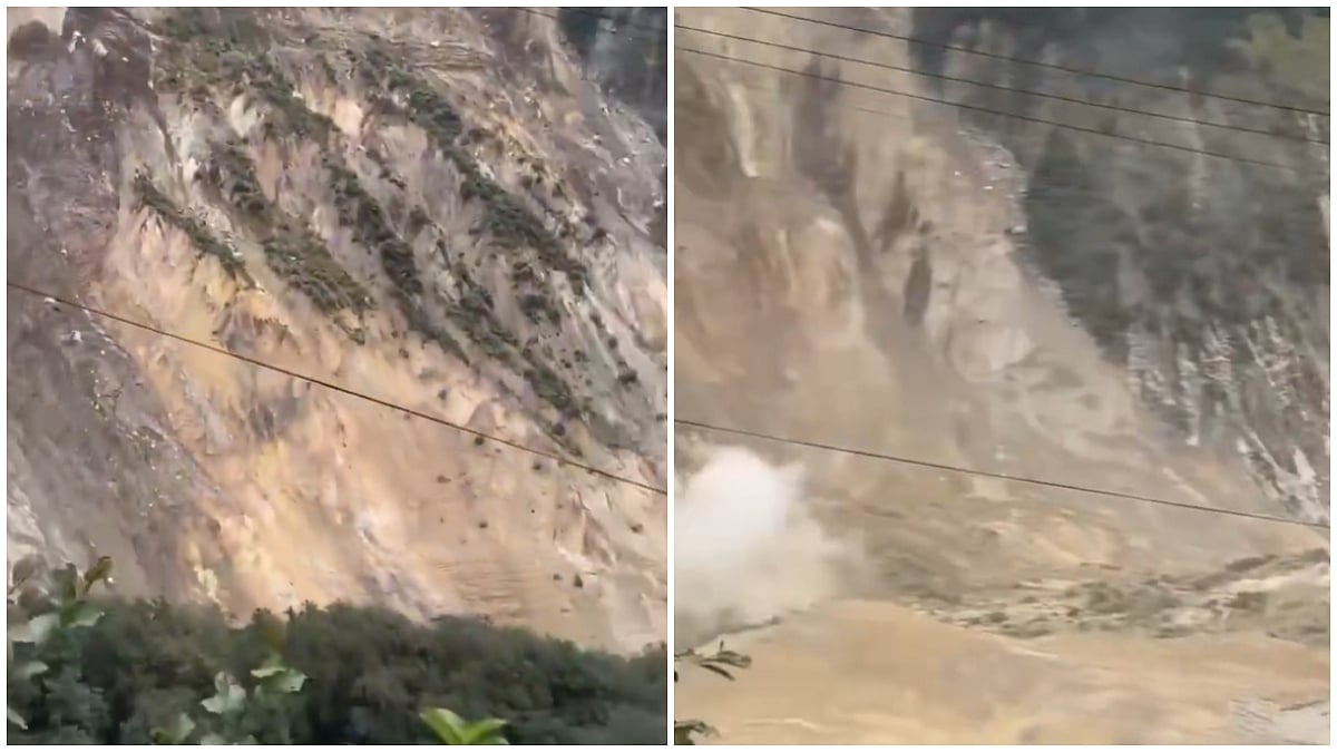
Landslide Briefly Blocks Marsyangdi River Amid Nepal Monsoon Rains
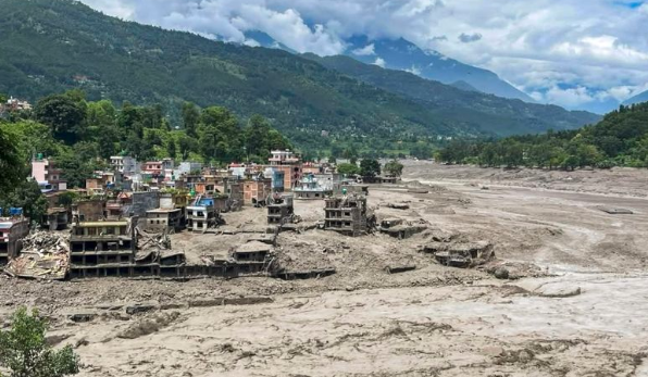
Fresh Heavy Rain Threatens Nepal’s Flood-Hit Recovery Efforts
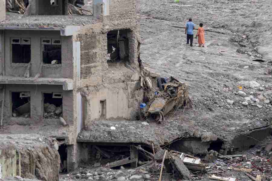
Fresh floods and landslides kill 21 in Nepal
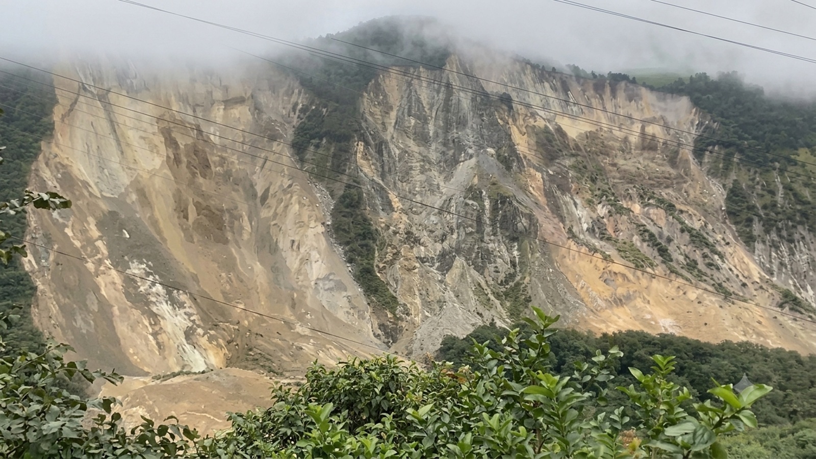
Nepal Landslides and Floods Kill at Least 21, Disrupting Lives

Nepal Disaster Prompts Call for Integrated Himalayan Hazard Assessments

IVPA Urges Members to Cut Cooking Oil Retail Prices

Elephant Families Preserve Cross-Border Routes Through Generations

Divided Nepali Congress Holds Convention as Rival Plans December Meet

Rahul Gandhi challenges BJP over Bihar's recurring flood crisis