1 month ago
Centre Plans Shoreline Protection for AP Coastline

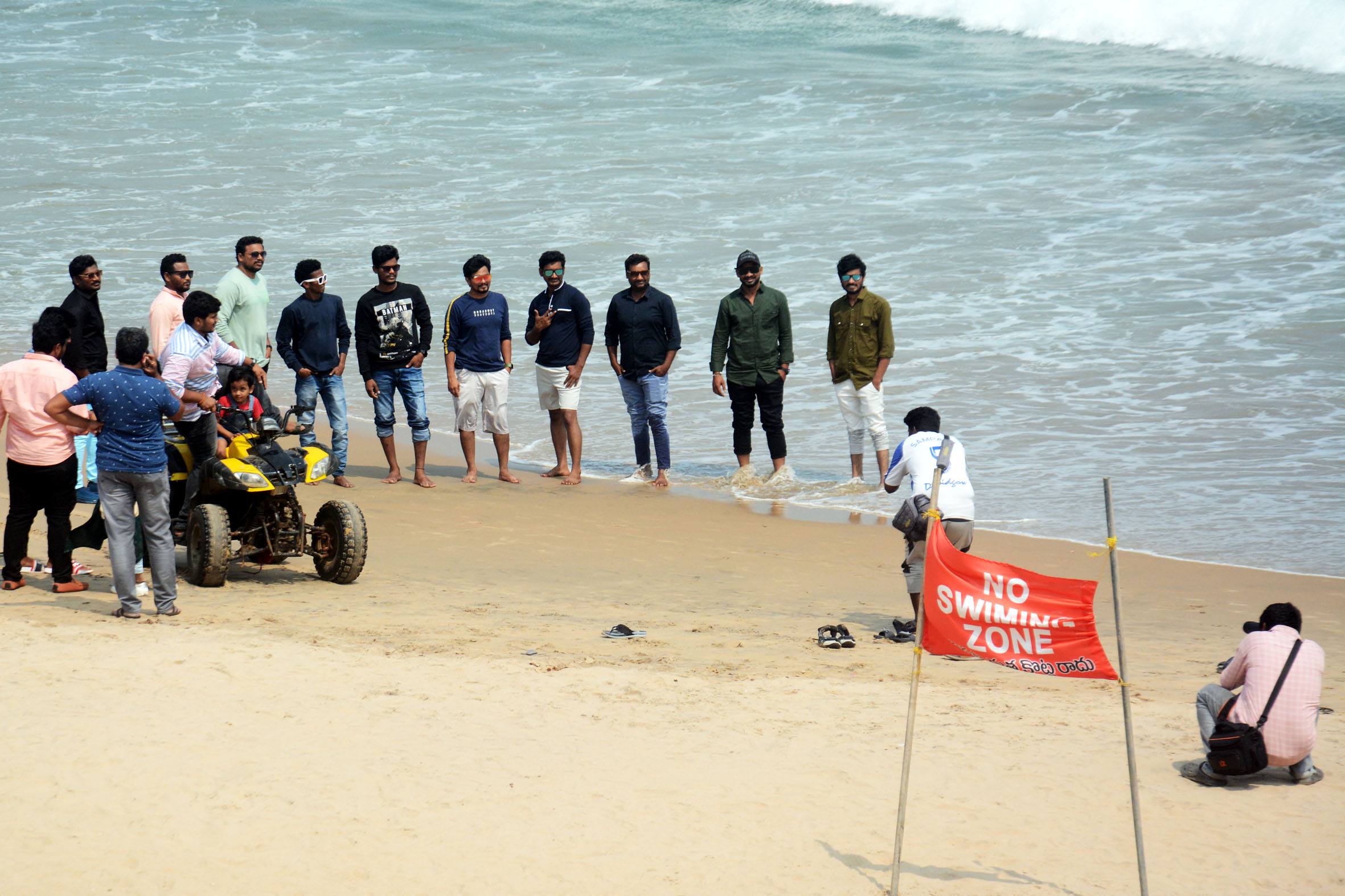
The Indian government has made a plan to protect the coastline of Andhra Pradesh, which is 1,027 kilometers long.
They found that some parts of the coast are eroding, which means the land is disappearing into the sea, while other parts are growing, which is called accretion.
The worst-affected area is Kakinada, where more than half of the coastline is eroding.
The government has identified several vulnerable locations, including the Godavari River mouth, Coringa mangroves, and Hope Island.
To fix this, they have suggested different solutions like adding more sand to the beaches, restoring sand dunes, protecting the environment, and using engineering methods if needed.
They also looked at how this affects the people living there and important places like fishing villages and ports.
Some people think these solutions are good, while others worry that they might harm the environment.

The Centre has identified vulnerable coastal stretches across Andhra Pradesh's 1,027-km coastline.
Kakinada is the worst-affected district with 52.99% of its coastline under erosion.
The Shoreline Management Plan includes measures like beach nourishment, dune restoration, and ecosystem-based protection.
Key ameliorative proposals include resilience measures for the Coringa-Uppada coast and coastal protection works at Sriharikota.
The study assessed the vulnerability of coastal communities and infrastructure, identifying fishing villages and ports as highly vulnerable.
- Who
- Union Earth Sciences Minister Dr Jitendra Singh, National Centre for Coastal Research (NCCR)
- What
- Shoreline Management Plan to protect and mitigate changes in Andhra Pradesh's coastline
- Where
- Andhra Pradesh, India
- When
- Information shared on Thursday (specific date not mentioned)
- Why
- To protect and mitigate changes in the shoreline due to erosion and accretion
Proactive Coastal Protection
Environmental Impact Concerns
Engineering Interventions
Proactive Coastal Protection
Necessary for immediate protection against erosion
Environmental Impact Concerns
May disrupt natural coastal processes and ecosystems
Ecosystem-Based Protection
Proactive Coastal Protection
Balances environmental conservation with coastal protection
Environmental Impact Concerns
May not be sufficient to address severe erosion issues
Key facts
- Total Coastline Length
- 1,027 km
- Worst-Affected District
- Kakinada (52.99% erosion)
- Stable Coastline Percentage
- 14.76%
- Accretion Percentage
- 32.25%
- Key Vulnerable Locations
- Godavari River mouth spit, Coringa mangroves, Hope Island, Pulicat Lake, Sriharikota, Machilipatnam Beach, Kalingapatnam, Yarada, Bheemunipatnam
- Shoreline Management Plan Measures
- Beach nourishment, dune restoration, ecosystem-based protection, engineering interventions
- Key Ameliorative Proposals
- Resilience measures for Coringa-Uppada coast, coastal protection works at Sriharikota, integrated management of Krishna delta, inlet management at Vamsadhara and Nagavali river mouths, resilience planning for Bheemunipatnam coast
- Vulnerable Locations Assessment
- Fishing villages, ports, ecologically sensitive areas
Quotes

Dr Jitendra Singh
Union Earth Sciences Minister
“"The National Centre for Coastal Research has mapped the erosion, accretion, and stable shoreline stretches of Andhra Pradesh using satellite data from 1990 to 2022."”
 deccanchronicle.com
Sources
Related news

UK and Ukraine Open Battlefield AI Partnership Amid War

Seven AI Courses Offer Paths From Free Lessons to Credentials

IIT Bombay Launches E-PG Diploma In Computer Science And AI
IIT Roorkee Launches Online AI Programme for Working Professionals

Israel Eyes Secret F-47 Fighter as Global Arms Race Intensifies

Two Missing After Rogue Wave at Visakhapatnam Beach