

Science & Tech · Science & Environment · 1 hr ago
Satellite Images Show Ice Loss on Antarctica’s Vega Island
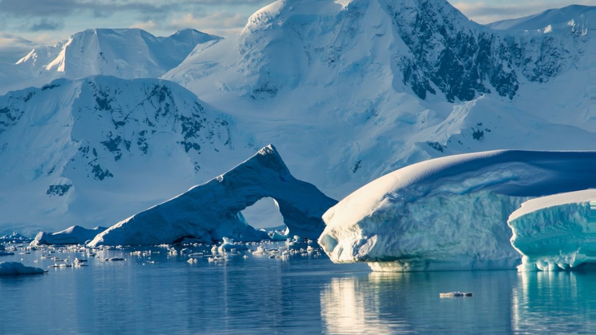
Vega Island, in the Weddell Sea off the Antarctic Peninsula, has a coastline that resembles a skull when seen from above.
NASA images show more bare ice on the island in October 2026 than in a snow-covered image from March 2025.
The island has four ice caps and 29 glaciers, and satellite tracking has shown one glacier shrinking for nearly 30 years.
Unusually warm winter weather in 2026 appears to have reduced snowfall, leaving less fresh snow to reflect sunlight and protect the ice during melting.
Glaciologist Mauri Pelto says continued exposure to melting could wear away the ice and change the island’s skull-like outline.
The changes reflect wider ice loss across Antarctica, where the ice sheet lost nearly 3,000 gigatons between 2002 and 2025.
That loss raised global sea levels by 0.4 millimeters each year, and human-caused climate change is driving the warming.

Satellite images show that glaciers on Antarctica’s Vega Island have been shrinking.
Images taken in March 2025 and October 2026 show the island under thick snow in the first image and patches of bare ice in the second.
The article says unusually warm winter conditions in 2026 appear to have reduced snowfall on the island.
Glaciologist Mauri Pelto said exposed ice could cause the island’s glacier-carved outline to change.
- Who
- Vega Island’s glaciers and glaciologist Mauri Pelto.
- What
- Satellite images show ice loss and exposed bare ice on the island.
- When
- Images were taken in March 2025 and October 2026.
- Where
- Vega Island, in the Weddell Sea near the Antarctic Peninsula.
- Why
- The article says unusually warm winter conditions in 2026 appear to have reduced snowfall.
This story does not have two clearly opposing sides.
Vega Island’s coastline was first mapped using Landsat images.
A satellite image showed the island covered in a thick layer of snow.
A satellite image showed patches of bare ice on the island.
Unusually warm conditions appear to have reduced snowfall on Vega Island.
- Location
- Vega Island, Weddell Sea
- First mapping
- 1982, using Landsat images
- Image dates
- March 2025 and October 2026
- Island features
- Four ice caps and 29 glaciers were recorded in the 1982 survey
What people are saying
The winter season was no treat for these glaciers.
Even a thin cover of new snow from a spring storm would be helpful in the short run. When entombed in snow and ice, the skull is preserved. But when exposed to melt, it weathers away, which will lead to a changing jawline and expanding eye socket.