

World · East Asia & Pacific · 5 hrs ago
Peat fires spread in Jambi’s Berbak Sembilang National Park
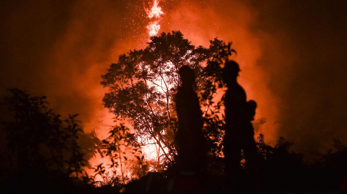
Peatland fires are spreading in Berbak Sembilang National Park in Jambi province, Indonesia.
The flames are active in Labuhan Pering and Sungai Cemara villages, in Sadu district.
Fire crews and other local teams are working to contain them, including staff from the fire service, disaster agency, military and police, alongside residents and volunteers.
Dry water sources and difficult access are slowing efforts, while strong winds are helping the fire spread.
Across Jambi province, fires had burned 4,954.90 hectares by October 23; that total covers several districts and the city of Jambi, not just the national park.
Teams are continuing to extinguish and block the flames, but fires remain active in both villages.

Peat fires are spreading in Berbak Sembilang National Park in Jambi, Indonesia.
As of October 24, 2026, firefighting teams were working at sites in Labuhan Pering and Sungai Cemara villages.
Firefighters face limited water supplies and difficult access to the burning areas.
Strong winds are helping the flames spread, according to a firefighting team leader.
Jambi province had recorded 4,954.90 hectares of burned land as of October 23, 2026.
- Who
- Joint firefighting teams, including Manggala Agni, local disaster officials, the military, police, residents and volunteers.
- What
- Peat fires are spreading in Berbak Sembilang National Park.
- When
- As of October 24, 2026.
- Where
- Labuhan Pering and Sungai Cemara villages in Sadu district, Tanjung Jabung Timur regency, Jambi, Indonesia.
- Why
- Strong winds are helping the fire spread; teams also face limited water and difficult access. The source does not state what started the fires.
This story does not have two clearly opposing sides.
Jambi’s fire task force reported that 4,954.90 hectares of land had burned across the province.
Firefighting teams were still working to contain active fires in Labuhan Pering and Sungai Cemara.
- Burned land in Jambi
- 4,954.90 hectares as of October 23, 2026
- Tanjung Jabung Timur burned land
- 659 hectares
- Fire locations
- Labuhan Pering and Sungai Cemara villages
- Water sources
- Firefighters rely on reservoirs built by companies
- Access
- Teams use motorcycles and travel on foot to reach the fire sites
What people are saying
The obstacle in the field is the difficulty of finding water; we rely only on water reservoirs built by companies. The wind is very strong, so the fire spreads quite quickly.
The fire is still active, and the team is continuing efforts to contain it, carried out by Manggala Agni, the Tanjung Jabung Timur disaster agency, the military, and the community.