

Science & Tech · Science & Environment · 5 hrs ago
Drones Help Researchers Find Three Aboriginal Rock Shelters in the Blue Mountains
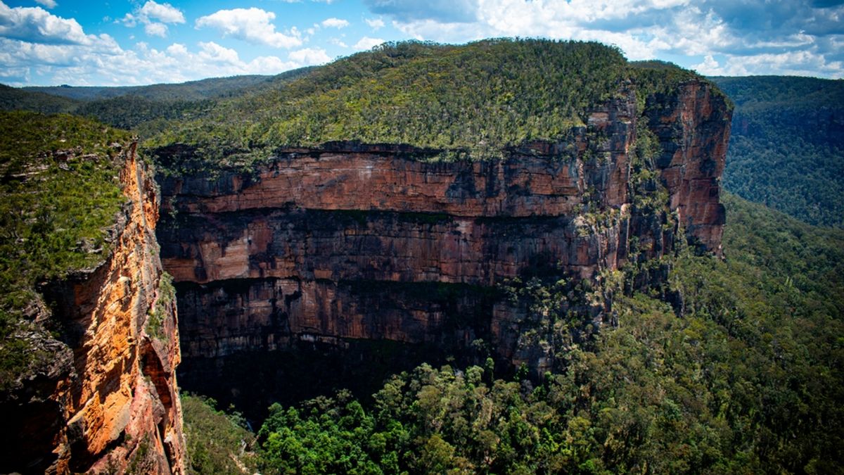
Researchers found three previously unregistered Aboriginal rock shelters in Australia’s Blue Mountains, where the shelters contain stone artifacts and red hand stencils.
The work brought together the University of Sydney, the Australian Museum and the Dharug Custodian Aboriginal Corporation.
Drones carrying LiDAR helped map possible shelters beneath dense bush and tree cover, but teams still visited each site to confirm it.
The team also improved the recorded locations of six known shelters in New South Wales’s Aboriginal heritage system.
The region has more than 200 recorded shelters, but researchers estimate only about 10 percent has been surveyed.
Better records can help communities return to these cultural places and care for them before development, erosion or bushfires cause damage.
Researchers plan to work with Aboriginal communities in western Arnhem Land and western New South Wales next.

Researchers used drones equipped with LiDAR to help locate three Aboriginal rock shelters in Australia’s Blue Mountains.
The shelters were not listed in the official heritage register and contained stone artifacts and red hand stencils.
The team also confirmed the positions of six known shelters and improved their recorded coordinates.
The research involved the Dharug Custodian Aboriginal Corporation, the University of Sydney and the Australian Museum.
Researchers say aerial surveys could help document cultural places and support efforts to care for them.
- Who
- Researchers from the University of Sydney and the Australian Museum worked with the Dharug Custodian Aboriginal Corporation.
- What
- The team found three previously unregistered Aboriginal rock shelters and confirmed the positions of six known shelters.
- When
- Not stated.
- Where
- The Blue Mountains in Australia.
- Why
- To locate and document cultural places and improve the accuracy of records of known shelters.
This story does not have two clearly opposing sides.
Researchers used drone-mounted LiDAR to map the landscape in 3D and identify possible shelter locations.
Archaeologist Amy Mosig Way led students and volunteers into the bush to check the sites on foot.
Wayne Brennan and Erin Wilkins led the recording of the rock art.
- New shelters
- 3 Aboriginal rock shelters absent from the official heritage register
- Known shelters checked
- 6
- Region
- Blue Mountains, Australia
- Existing regional record
- More than 200 shelters with rock art or other archaeological evidence
- Survey coverage estimate
- About 10 percent of the Blue Mountains region has been surveyed
What people are saying
From the outset, our vision for the Gulamada Project has been to create a true nexus of science and culture. This work highlights the importance of listening, learning and working together
This work is exciting because it offers an efficient and accurate way to locate sites in rugged environments, which are notoriously arduous, expensive and time-consuming to survey