

Science & Tech · Science & Environment · 7 hrs ago
Open-source BikeNetKit software helps cities plan connected bike networks
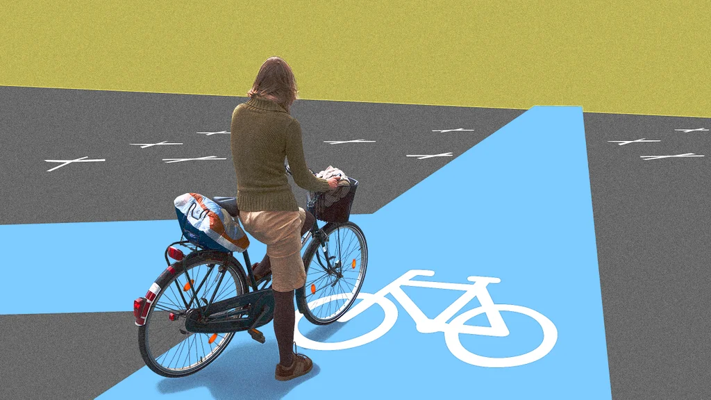
BikeNetKit is free, open-source software designed to help cities plan complete bicycle networks.
It was developed from eight years of bicycle infrastructure research at Denmark’s IT University of Copenhagen.
The tools use street data from OpenStreetMap and can add information such as crash locations or common travel routes.
GrowBikeNet can design a network from scratch, while other tools suggest how to connect missing links or which gaps to fix first.
The software also includes an option to identify places for car-free neighborhoods and plan bike lanes around schools.
The aim is to connect routes across a whole city, rather than add isolated lanes that may not link up.
Using the software requires some technical knowledge, including the ability to run Python.

BikeNetKit is free, open-source software designed to help cities plan more connected bicycle networks.
The tools can fill gaps in existing infrastructure or create a network from scratch using street data from OpenStreetMap.
The software is based on eight years of bicycle infrastructure research at Denmark’s IT University of Copenhagen.
Its tools can prioritize suggested routes, identify gaps to fix and recommend places for car-free neighborhoods.
Using the software requires some technical knowledge, including familiarity with Python.
- Who
- Planners, bike advocates and citizens can use BikeNetKit. The project was led by Michael Szell, an associate professor at the IT University of Copenhagen.
- What
- Free, open-source software tools help users plan connected bicycle networks.
- When
- Published November 9, 2026. The software is based on eight years of research.
- Where
- The tools use street data from OpenStreetMap and can be applied to cities.
- Why
- To help plan more complete bike networks by creating routes from scratch or filling gaps in existing infrastructure.
This story does not have two clearly opposing sides.
- Software name
- BikeNetKit
- Research base
- Eight years of bicycle infrastructure research
- Research institution
- IT University of Copenhagen
- Street data source
- OpenStreetMap
- Network-building tool
- GrowBikeNet
- Gap-prioritizing tool
- FixBikeNet
What people are saying
Planners mostly think about the small picture—what if I add a lane here? What’s on the right side and left side? But they don’t think about the network and the whole city
Our methods are built on network science methods that look at the city from a big picture
The first links that are suggested are the links where you expect the most cyclists to ride