

Science & Tech · Space · 16 hrs ago
Türkiye plans to launch GEZGİN-1 micro-satellite in late 2028
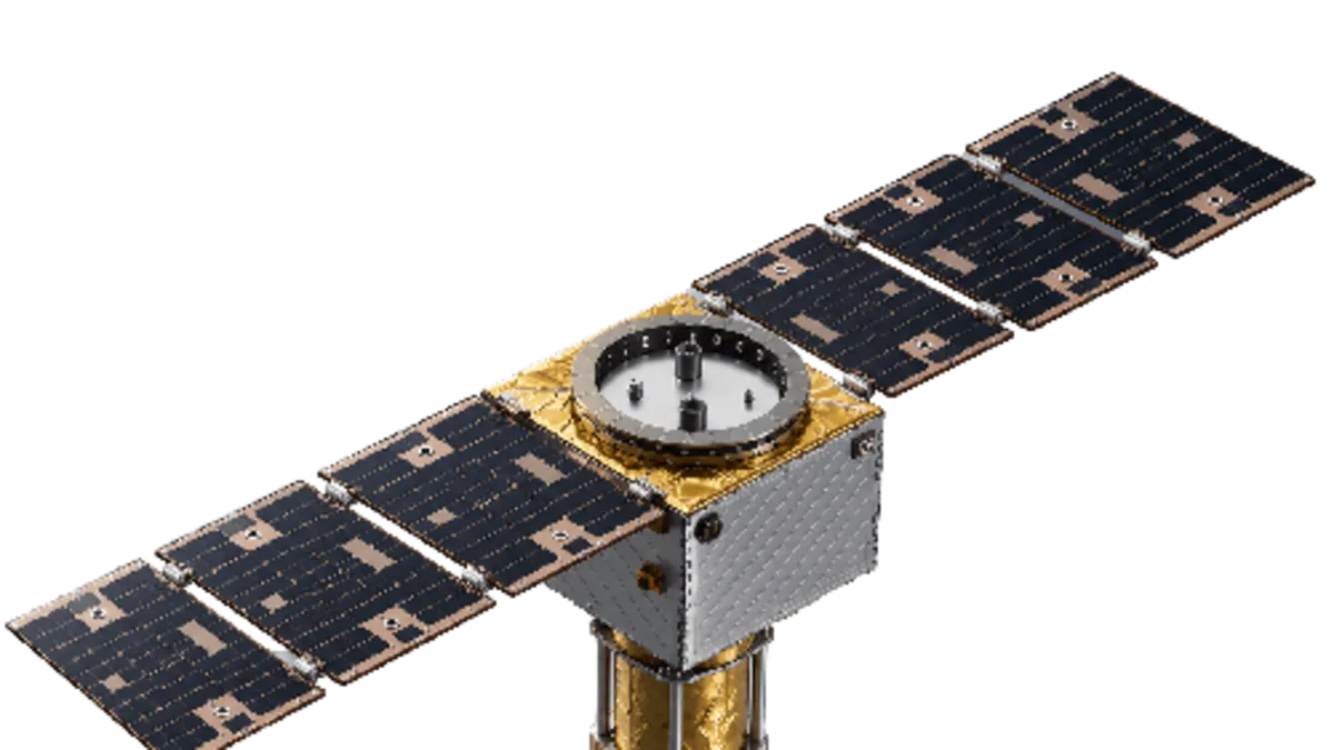
Türkiye plans to launch GEZGİN-1 in late 2028, giving the micro-satellite a first record of operating in space.
The project aims to build a high-performance platform in Türkiye for satellites weighing less than 75 kilograms.
GEZGİN-1 will combine high-resolution imaging with AI-assisted image processing and data from the ship-tracking system AIS.
Its data is intended to support farming, including monitoring plant health, as well as mapping and environmental monitoring.
The satellite is also expected to help monitor seas and ship traffic, extending its use beyond land-based tasks.
Türkiye has previously developed Earth-observation satellites including BİLSAT, RASAT, İMECE and GÖKTÜRK.
The launch is planned for the final quarter of 2028, and the project aims to strengthen the country's domestic satellite technology and commercial satellite infrastructure.

Türkiye plans to launch the GEZGİN-1 micro-satellite in the final quarter of 2028.
The satellite is designed for imaging and artificial intelligence tasks in agriculture, environmental monitoring and maritime activity.
It will use high-resolution multispectral imaging, AI-supported image processing and integration with AIS data.
The project aims to develop a high-performance domestic platform for micro-satellites weighing less than 75 kilograms.
- Who
- Türkiye is developing the GEZGİN-1 micro-satellite.
- What
- It plans to launch the satellite to test a domestically developed platform in space.
- When
- The launch is planned for the final quarter of 2028.
- Where
- Not stated.
- Why
- The project aims to strengthen Türkiye’s national satellite technology and commercial satellite systems infrastructure.
This story does not have two clearly opposing sides.
This story does not have a timeline yet.
- Satellite
- GEZGİN-1
- Planned launch
- Final quarter of 2028
- Platform target
- Micro-satellites weighing less than 75 kilograms
- Imaging
- High-resolution multispectral imaging
- Data integration
- AIS data
- 用途
- Agriculture, environmental monitoring and maritime activity