Archive · 6 Sep 2026
India Backs UN Map Resolution, Sets Territorial Terms for J&K
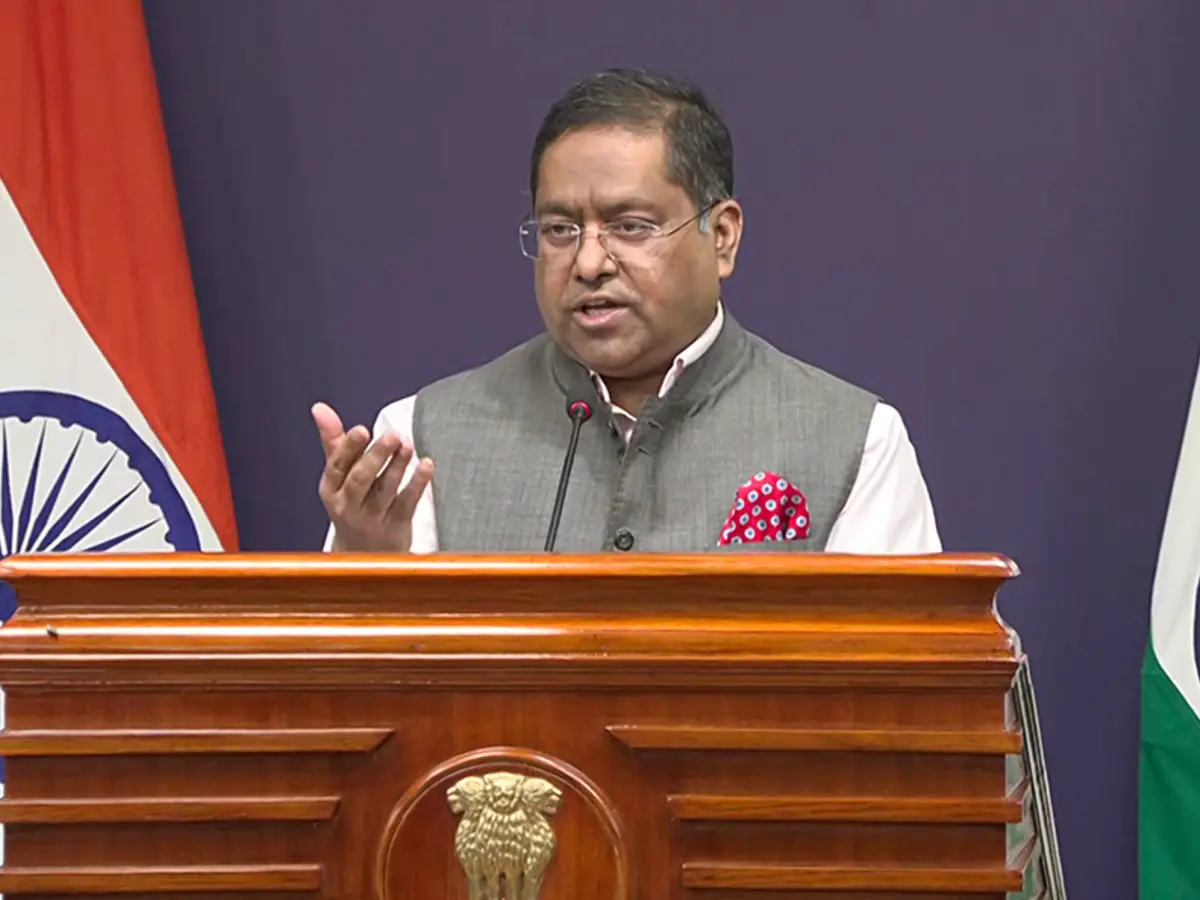
The United Nations approved a resolution encouraging maps that show the sizes of continents more fairly.
India voted for the resolution.
India said it supported only the general idea of equal-area maps.
It did not approve one particular map or decide how countries’ borders should be drawn.
India said Jammu and Kashmir and Ladakh must be shown according to its official map.
It called inaccurate or misleading depictions unacceptable.
The resolution does not choose one world map or settle disputed borders.
Togo sponsored the resolution, which passed by a large majority, while the United States voted against it.

India voted for a UN General Assembly resolution encouraging equal-area world-map projections.
The resolution seeks to represent the relative sizes of continents and regions more accurately, especially Africa and other equatorial areas.
India said its vote did not endorse any specific map, projection, or depiction of national boundaries.
The Ministry of External Affairs said Jammu and Kashmir and Ladakh must be shown according to India’s official map.
Sponsored by Togo, the resolution passed 164-1, with six abstentions; the United States voted against it.
- Who
- India, the United Nations General Assembly, Togo, and Ministry of External Affairs spokesperson Randhir Jaiswal.
- What
- India supported a resolution promoting equal-area map projections while insisting that Jammu and Kashmir and Ladakh be depicted according to India’s official map.
- When
- The resolution was adopted on September 4; India’s clarification was issued two days later, on Sunday, according to the articles.
- Where
- The resolution was considered by the United Nations General Assembly and concerns representations on world maps.
- Why
- India supports more accurate representation of continental landmass sizes but says the resolution must not produce an inaccurate depiction of its sovereign territory.
India’s Position
Resolution’s Stated Scope
Meaning of India’s vote
India’s Position
India says it supported the principle of equal-area cartographic representation, not any specific map, projection, or boundary depiction.
Resolution’s Stated Scope
The resolution encourages the use of projections that preserve the relative sizes of continental landmasses and regions.
Territorial depiction
India’s Position
India says its sovereign territory, including Jammu and Kashmir and Ladakh, must be shown according to its official map and that inaccurate or misleading depictions are unacceptable.
Resolution’s Stated Scope
The resolution does not adopt or authenticate a particular world map and does not address international boundaries, disputed territories, or place names.
- Resolution title
- “Correct the Map: Rebalancing Global Cartographic Representation and Promoting Equitable Representation of the World’s Regions, Particularly Africa”
- Adoption date
- September 4
- Sponsor
- Togo
- Vote
- 164 in favour, one against, and six abstentions
- Vote against
- United States
- Abstentions
- Estonia, Georgia, Lithuania, Moldova, Serbia, and Ukraine
- India’s position
- Jammu and Kashmir and Ladakh must be depicted according to India’s official map.
Sources
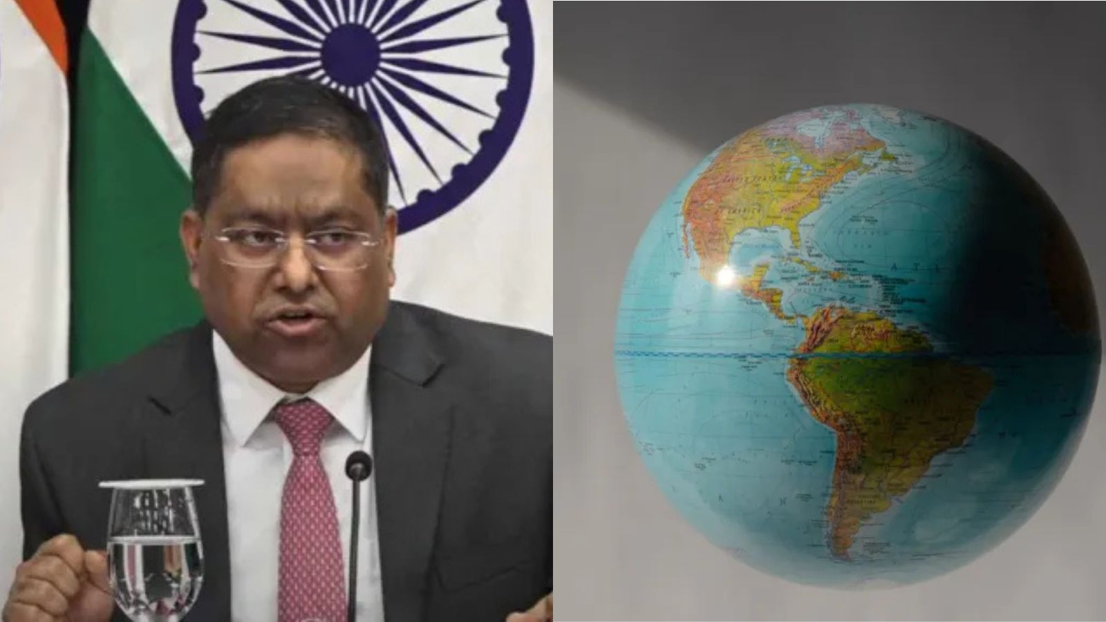
India backs UN world map resolution, draws firm line on Jammu and Kashmir and Ladakh
UN-backed proposed world map must depict J-K, Ladakh as per India's official map: MEA
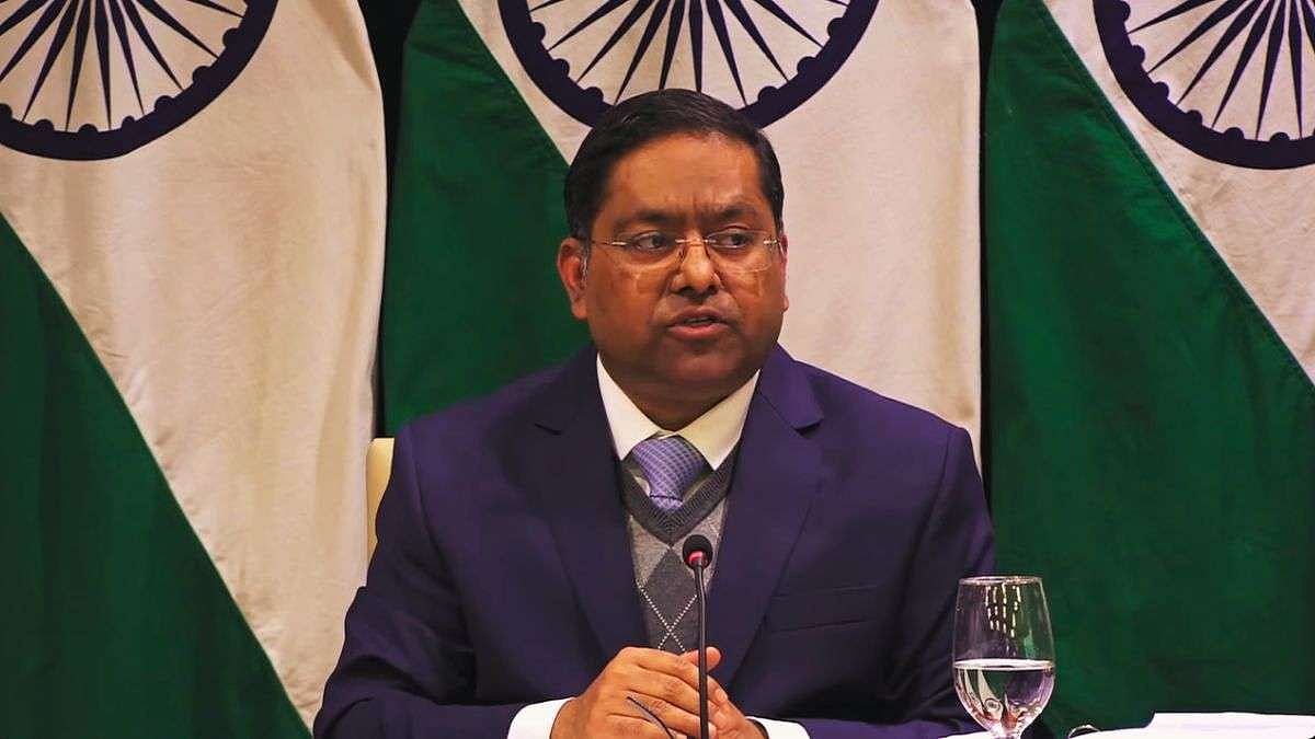
India Supports UN Move For Equal-Area World Map, Says Inaccurate Depiction Of Territory Unacceptable

UN-backed proposed world map must depict Jammu and Kashmir, Ladakh as per India’s official map: MEA

MEA on UN ‘Correct the Map’ resolution: ‘J&K and Ladakh must be depicted as per India’s official map’
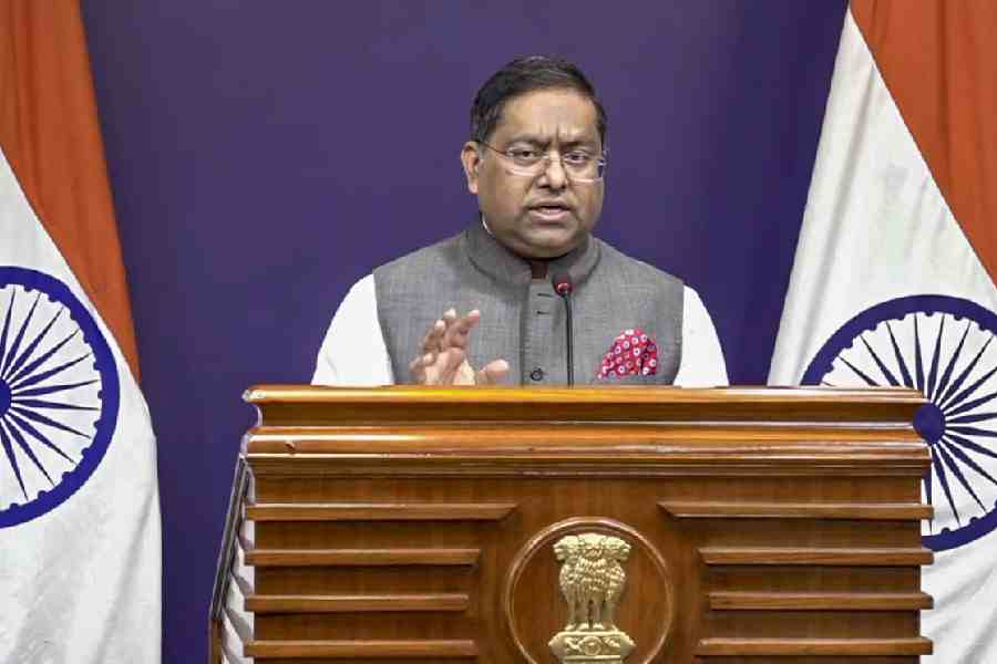
‘Non-negotiable’: Centre tells UN proposed world map must show J&K, Ladakh as per India's official map
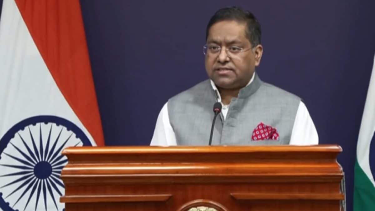
J&K, Ladakh must be depicted as per India's official map: MEA clarifies its stance on UN resolution
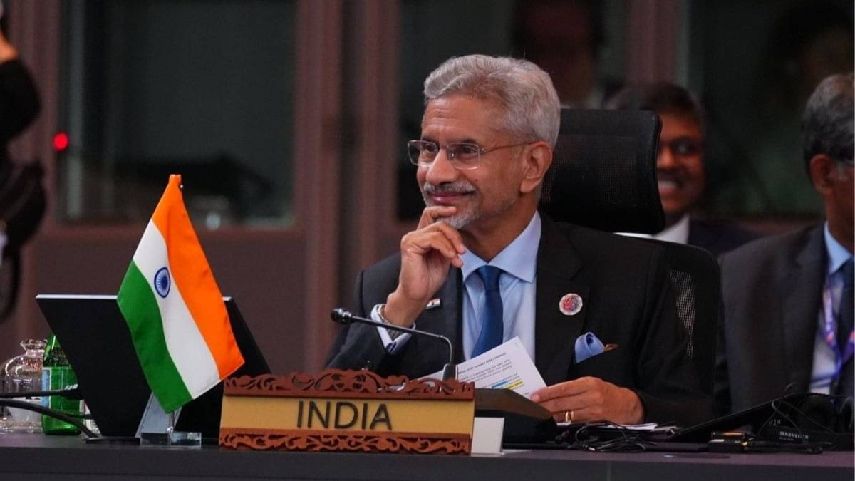
'J-K and Ladakh Must be Depicted in Accordance with India’s Official Map': New Delhi Backs UNGA 'Correct the Map' Asserting Sovereign Borders
India backs UN ‘Correct the Map’ resolution, draws red line on J&K, Ladakh