8 months ago
MapmyIndia Adds Public Transport to App
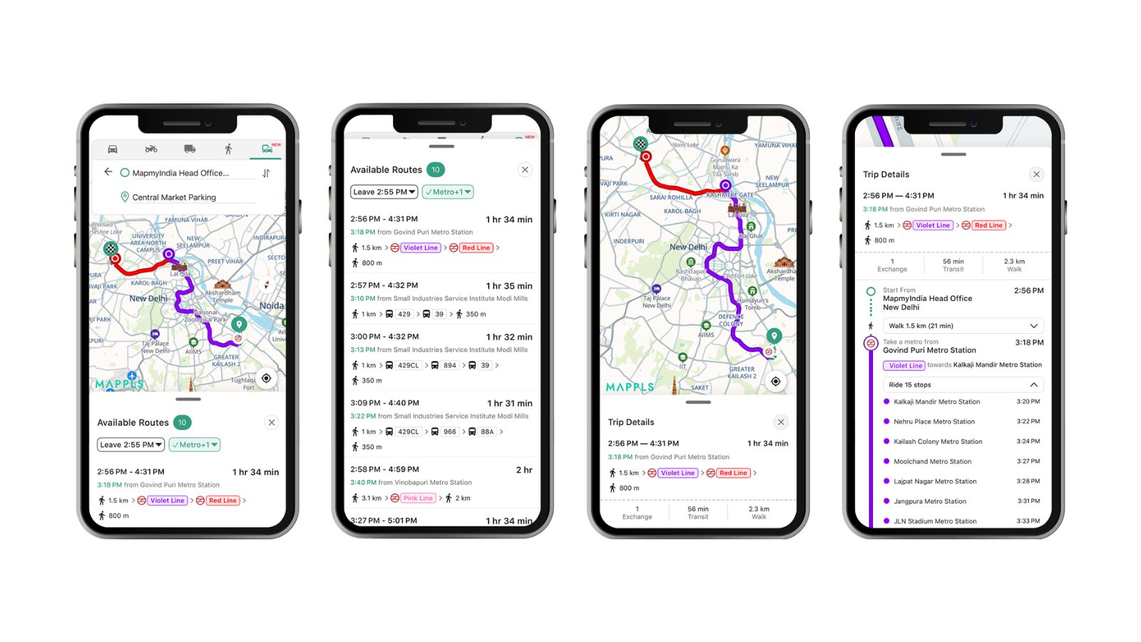
MapmyIndia, also known as Mappls, has added a new feature to its app that helps people plan their trips using public transport like metros, trains, and buses.
This feature shows users the routes, stations, and stops, making it easier to travel around cities.
Right now, it's available on iPhones and the web in some big cities like Delhi, Mumbai, and Bengaluru.
The company plans to add it to Android phones and more cities soon.
MapmyIndia is an Indian company that competes with Google Maps and has been growing in popularity, especially with the government's support for 'Made-in-India' products.
The app also has other useful features like real-time traffic updates and safety alerts.
The company has partnered with the government for projects like the UMANG app and with Zoho for better business tools.

MapmyIndia (Mappls) introduces a public transport feature in its app, showing metro, rail, and bus routes.
The feature is currently available for iOS and web users in select Indian cities, with plans to expand to Android and more cities.
The app has over 40 million users and offers additional features like turn-by-turn navigation and real-time traffic updates.
MapmyIndia has partnered with the government for projects like the UMANG app and with Zoho for CRM tools.
The company has seen growth due to the government's campaign to boost 'Made-in-India' digital products.
- Who
- MapmyIndia (Mappls) and its users
- What
- Launch of public transport feature in the Mappls app
- Where
- Select Indian cities (e.g., Delhi, Mumbai, Bengaluru, etc.)
- When
- December 30, 2025
- Why
- To help users plan more efficient and sustainable journeys using Indian public transport
MapmyIndia
Google Maps
Market Positioning
MapmyIndia
Focuses on local data and India-specific needs, positioning itself as a comprehensive mobility platform tailored for Indian cities and commuters.
Google Maps
Dominant in the market with a broader global reach and more active users in India.
Public Transport Integration
MapmyIndia
Integrates public transport routes to encourage the use of mass transit, aiming to ease road congestion and reduce emissions.
Google Maps
Offers public transport information but may not have the same level of integration and focus on local transit systems.
Key facts
- Company
- MapmyIndia (Mappls)
- Feature
- Public transport routes (metro, rail, bus)
- Availability
- iOS and web in select cities, with Android rollout expected soon
- User Base
- 40 million users
- Government Partnership
- UMANG app, IT Ministry
- Revenue from Government
- 20% of gross revenue
- Strategic Partnership
- Zoho Corp (November 2025)
- Cities Covered
- Delhi, Mumbai, Bengaluru, Chennai, Hyderabad, Kanpur, Lucknow, Pune, Kolkata, Ahmedabad, Jaipur, Chandigarh, Nagpur, Indore, Patna, Agra, Kochi, Bhopal
Quotes
Rakesh Verma
Co-Founder, Chairman & Managing Director of MapmyIndia Mappls
“The launch of multimodal public transport routes on the Mappls App is a direct outcome of listening to our users. We want the Mappls App to be more inclusive and accessible for every citizen.”
 republicworld.com
Sources

India Mappls introduces features to track public transport routes: Here’s how it works
MapmyIndia rolls out new public transport feature with metro, rail, and bus routes
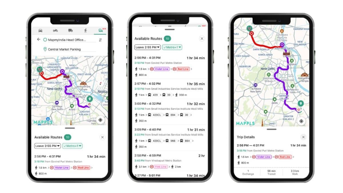
Google Maps’ Indian Rival Mappls Adds Metro, Rail, and Bus Routes to Navigation App