Archive · 20 Aug 2025
Africa Seeks to Replace Distorted Mercator Map
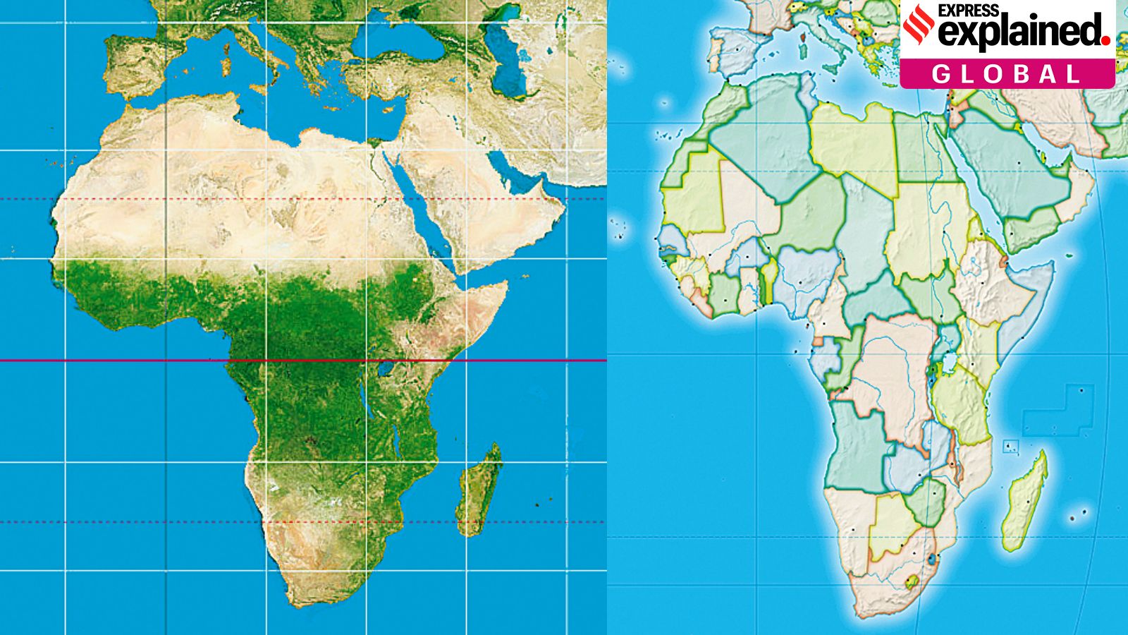
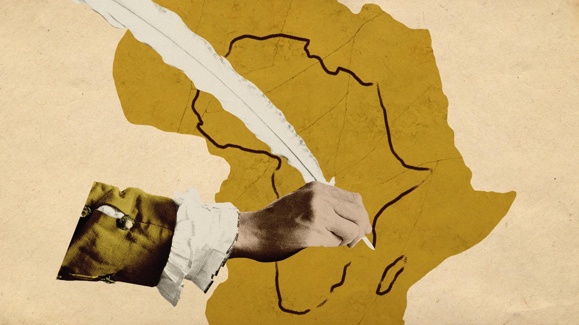
The Mercator map, used for centuries, makes places near the top and bottom of the world look bigger than they really are, and the ones around the middle look smaller.
Because of this, Greenland appears to be about the same size as Africa, even though Africa is much bigger!
The African Union wants to use a different map that shows the right sizes, because the current map makes Africa seem less important and smaller than it is.
They want everyone to use a new map that is more accurate.

The African Union is campaigning to replace the Mercator map due to its size distortions.
The Mercator projection, created in the 16th century, distorts land sizes, especially near the poles.
Greenland appears larger than Africa on the Mercator map, despite Africa's actual size.
The distortion impacts perceptions of Africa's importance and reinforces a Eurocentric worldview.
Alternative maps like the Equal Earth projection are gaining momentum for accurate representation.
- Who
- The African Union, civil society groups, and global organizations.
- What
- A campaign led by the African Union to replace the Mercator map with more accurate projections.
- When
- Ongoing campaign since the Mercator map's creation in the 16th century and the introduction of alternatives.
- Where
- Globally, with a focus on Africa and international organizations.
- Why
- To correct size distortions and counter the map's history of contributing to Africa's misrepresentation.
Proponents of Accurate Maps
No Specific Opposing Viewpoint
Accuracy vs. Historical Context
Proponents of Accurate Maps
Advocates for maps that accurately represent land sizes and reduce historical biases.
No Specific Opposing Viewpoint
No specific opposing views are mentioned in the article.
- Map Type
- Mercator Projection
- Creator
- Gerardus Mercator
- Created Year
- 16th Century
- Primary Issue
- Size Distortions
- Affected Regions
- Africa, Greenland, India
- Alternative Maps
- Equal Earth projection