

Archive · 26 May 2025
India's Coastline: How Improved Measurement Reveals a Longer Shore
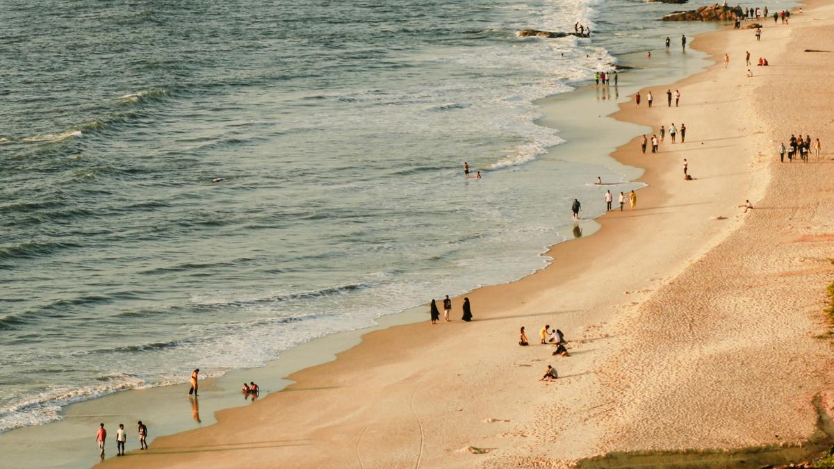
Imagine India's coast is like a line you're measuring.
An old map, using a big ruler, missed all the small bays and curves.
Now, using super-detailed maps and new tools, we see the coast is much longer!
This isn't because India got bigger, but because we're measuring more accurately.
The old measurement, from the 1970s, used less precise methods.
The new one, using high-tech tools, captures every nook and cranny, making the coast seem longer.
It's like when you measure a squiggly line – a smaller ruler gives a longer length.
This longer coast matters for things like security and planning for natural disasters.

India's coastline length increased from 7,516.6 km to 11,098.8 km, as reported in December 2024.
The revised figure reflects improved measurement techniques, not territorial changes.
The discrepancy stems from the coastline paradox, where detailed mapping reveals more length.
The new measurement used electronic navigation charts and advanced technologies.
The longer coastline impacts maritime security, disaster preparedness, and economic zones.
- Who
- The Union Ministry of Home Affairs, National Hydrographic Office, and Survey of India.
- What
- India's reported coastline length has been updated.
- When
- The revised figure was announced in December 2024.
- Where
- India's coastline.
- Why
- Due to more accurate measurement methods and the use of advanced technologies.
- Initial Coastline Length (1970s)
- 7,516.6 km
- Revised Coastline Length (2024)
- 11,098.8 km
- Measurement Source
- National Hydrographic Office & Survey of India
- Measurement Method
- Electronic navigation charts (1:250,000 scale)
- Last state to join India
- Goa in 1961