

Archive · 10 Oct 2026
Cyclonic Circulation Could Bring Rain to Andhra Pradesh, Telangana
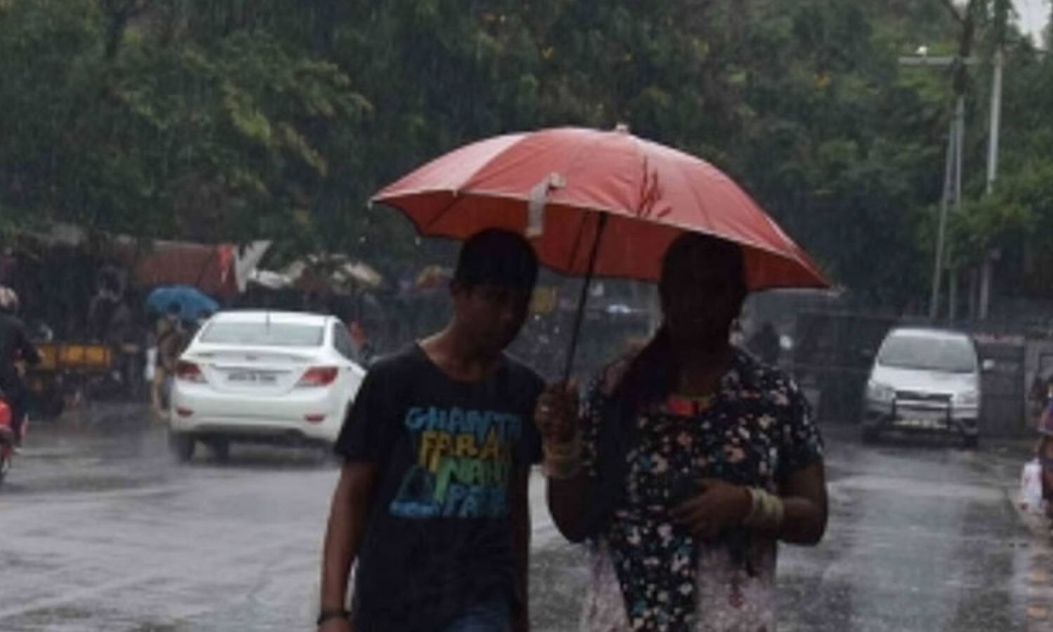
The rainy season is starting to move away from Andhra Pradesh and Telangana.
The days are getting hotter, while nights are still humid.
Weather experts are watching a swirling weather system near the Andaman Sea.
It might create a low-pressure area over the Bay of Bengal by Tuesday.
The system could grow stronger and move toward the coasts of Tamil Nadu and Andhra Pradesh.
Some forecasts say it might become a cyclone, while others expect it to remain weaker.
Officials say more information is needed to know how it will develop.
For Saturday, scattered rain and storms are expected in both states.

The Southwest Monsoon is retreating from Andhra Pradesh and Telangana as daytime temperatures rise and nights remain humid.
A circulation over the North Andaman Sea may lead to a low-pressure area over the southeast Bay of Bengal by Tuesday.
The system could strengthen over three to four days and move west-northwest toward north Tamil Nadu and south Andhra Pradesh.
A depression may form by Wednesday, though forecasts differ on whether the system could strengthen into a cyclonic storm.
Isolated rain, thunderstorms and lightning are forecast in Andhra Pradesh and Telangana on Saturday.
- Who
- The Meteorological Department and Andhra Pradesh State Disaster Management Authority provided forecasts and updates.
- What
- A developing cyclonic circulation may bring rain and could strengthen into a low-pressure system or depression.
- When
- Isolated rain is forecast for Saturday; a low-pressure area may form by Tuesday, with a possible depression by Wednesday.
- Where
- Andhra Pradesh, Telangana and the southeast Bay of Bengal, with the system potentially moving toward north Tamil Nadu and south Andhra Pradesh.
- Why
- A cyclonic circulation over the North Andaman Sea and a trough in the Bay of Bengal are expected to influence the weather.
Stronger-system forecasts
More cautious forecasts
How strong the system may become
Stronger-system forecasts
Some models indicate the system could strengthen to cyclonic-storm intensity by Wednesday.
More cautious forecasts
Other models suggest it will remain a low-pressure system; the Andhra Pradesh State Disaster Management Authority said more details are needed.
- System location
- Cyclonic circulation over the North Andaman Sea
- Possible low-pressure formation
- Southeast Bay of Bengal by Tuesday
- Possible development
- Depression by Wednesday
- Potential movement
- West-northwest toward north Tamil Nadu and south Andhra Pradesh
- Forecast timeframe
- The system may strengthen over the next three to four days
- Saturday forecast
- Isolated rain, thunderstorms and lightning in Andhra Pradesh and Telangana
- Forecast uncertainty
- Some models suggest cyclonic-storm strength by Wednesday; others forecast it will remain a low-pressure system